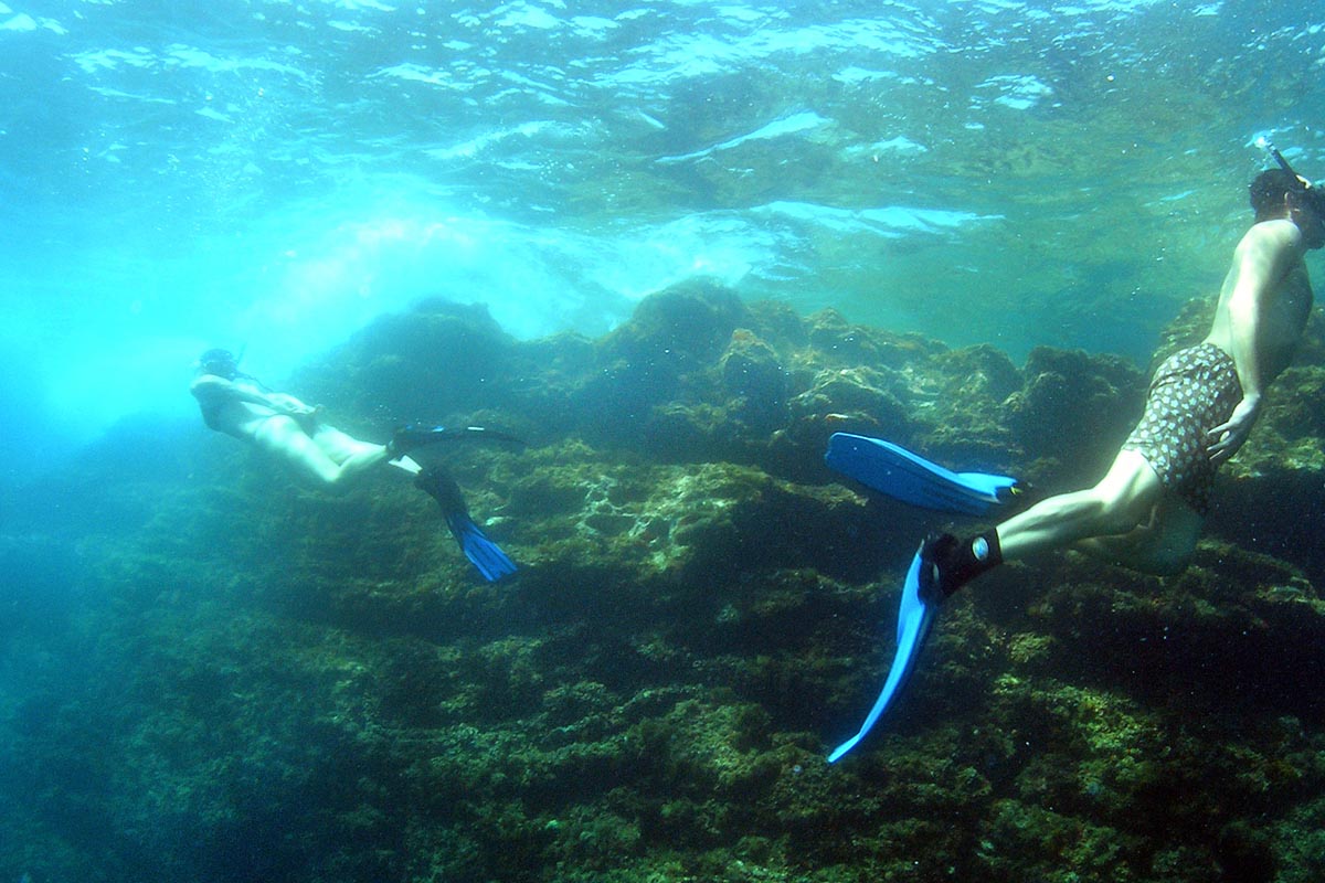

Discover Ses Salines Nature Park on foot or by bicycle: Ruta sa Sal Rossa
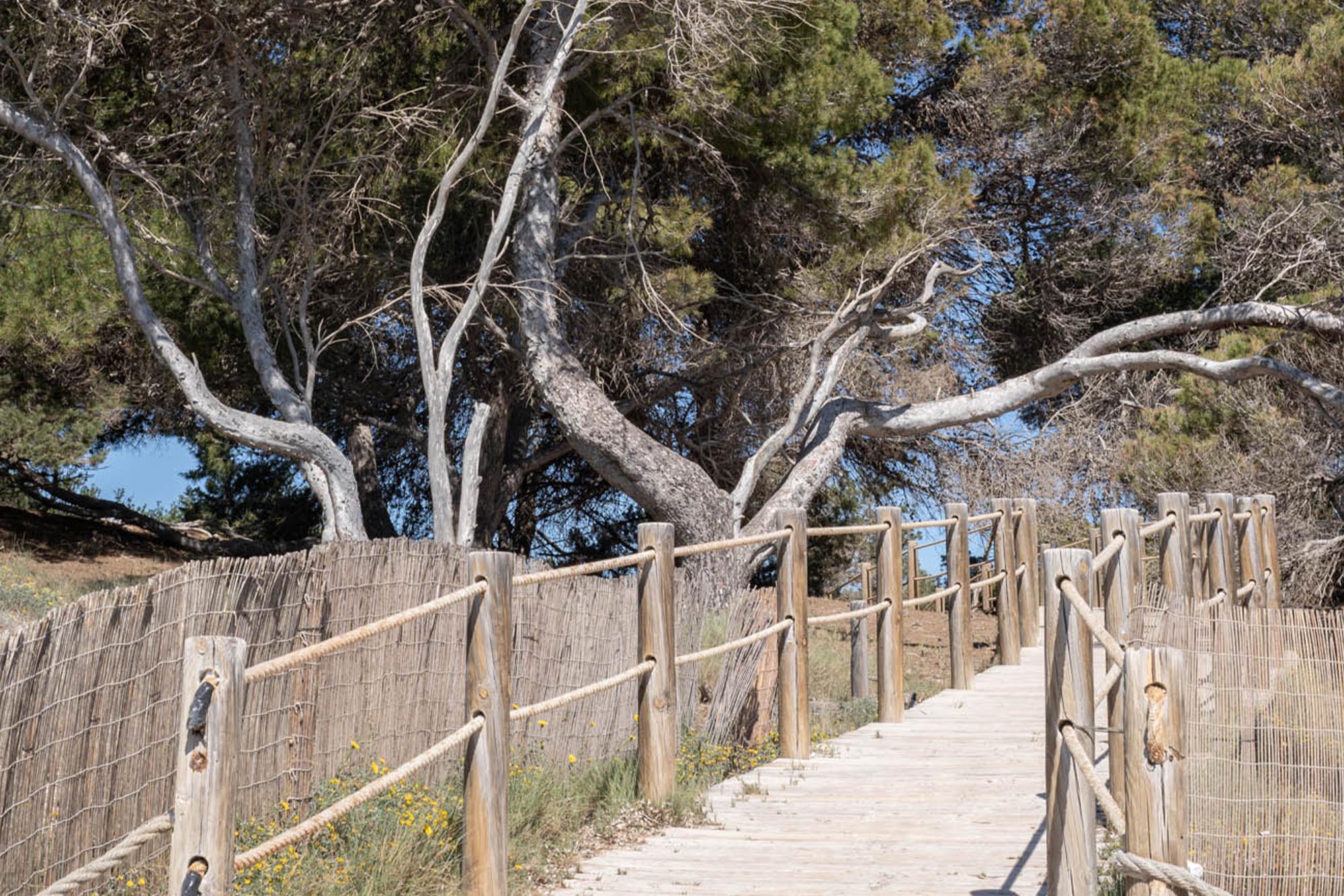
A combination of nature, history, and culture for walkers and cyclists to enjoy. Recently, two new routes were presented at the Madrid International Tourism Fair (FITUR) designed to show visitors the most interesting parts of the nature park as they walk or cycle along the trail. These routes will be signposted with totem poles with a QR code that will enable you to access all the information you need about this particular spot.
The following article details the first route known as the “Ruta sa Sal Rossa”, named after the watch tower that you will find along the way.
Ruta sa Sal Rossa
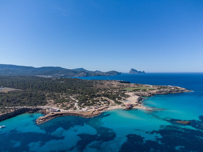
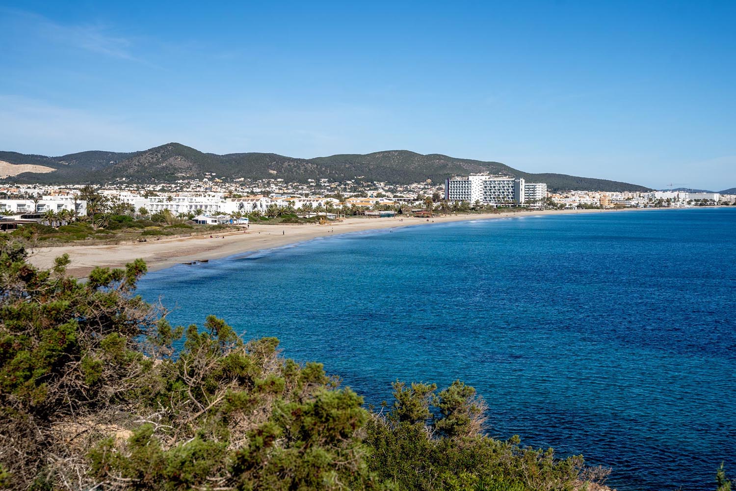
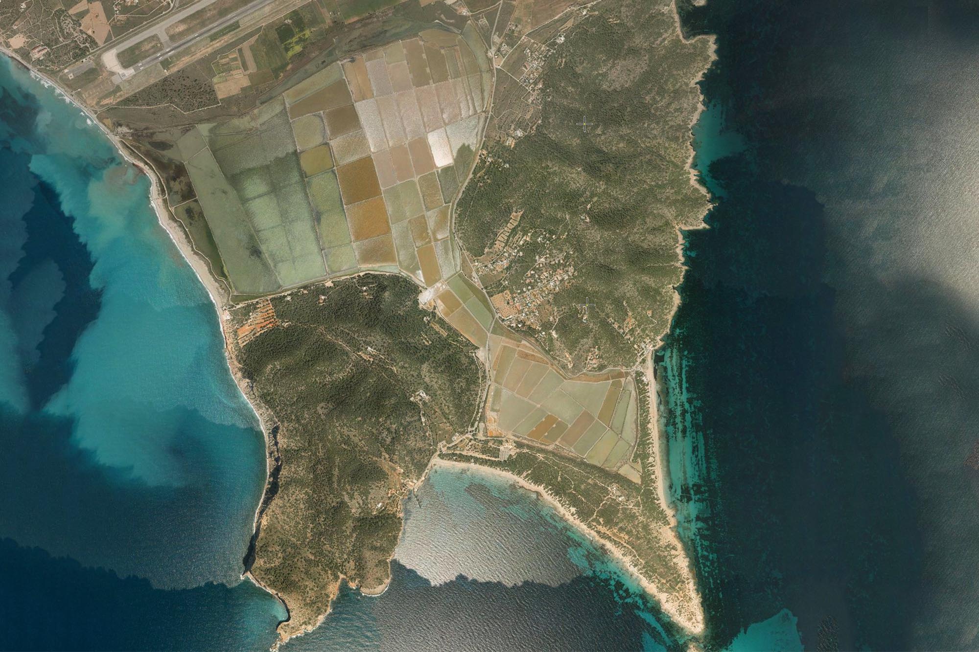
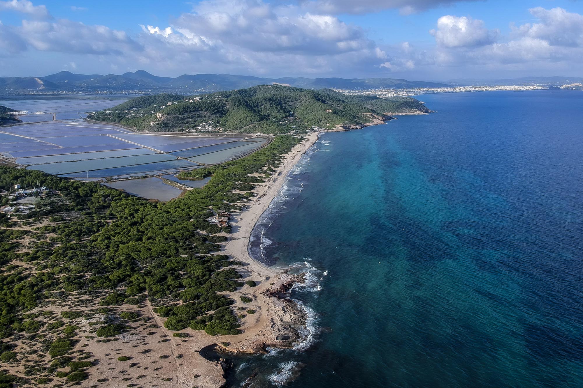
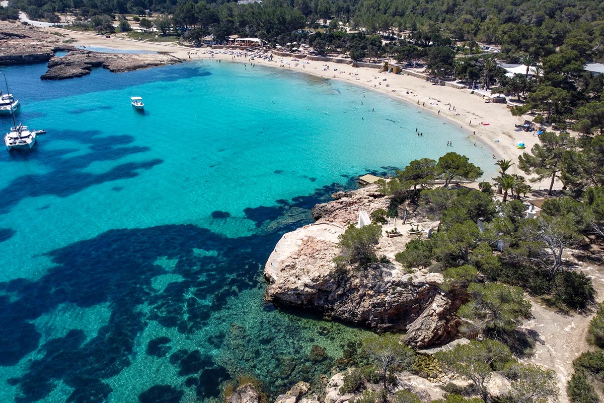
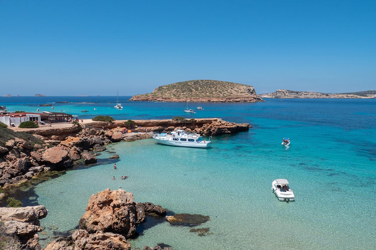
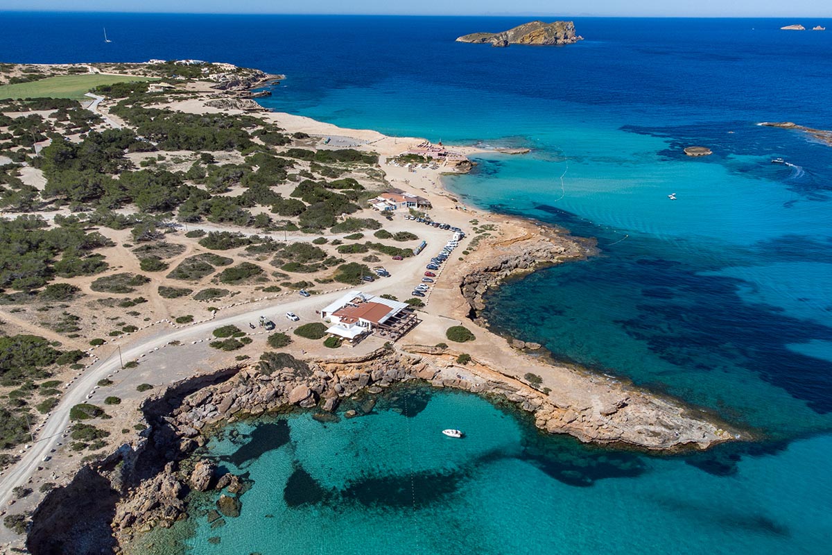
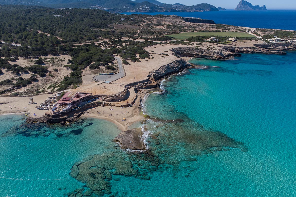
This feat of engineering goes back to Phoenician times and since that era its multi-coloured waters have provided one of the most recognisable examples of the traditional economy of the large Pityusic island. The salt pans are found in the heart of the Natural Park that bears their name and which provides a natural habitat for a huge range of animal and plant species. It is a unique setting that has plenty of attractions for visitors who will be amply rewarded by their visit.
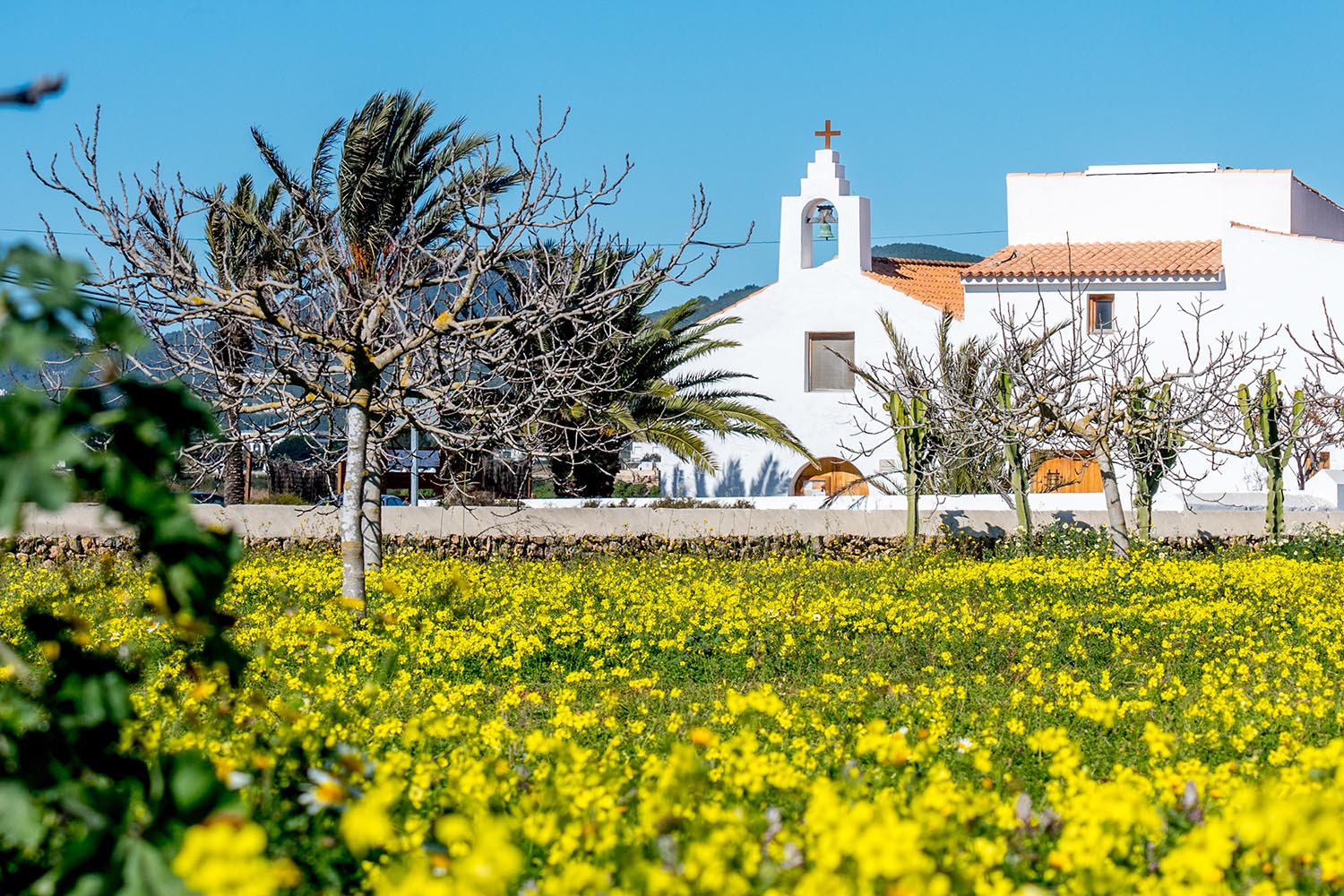
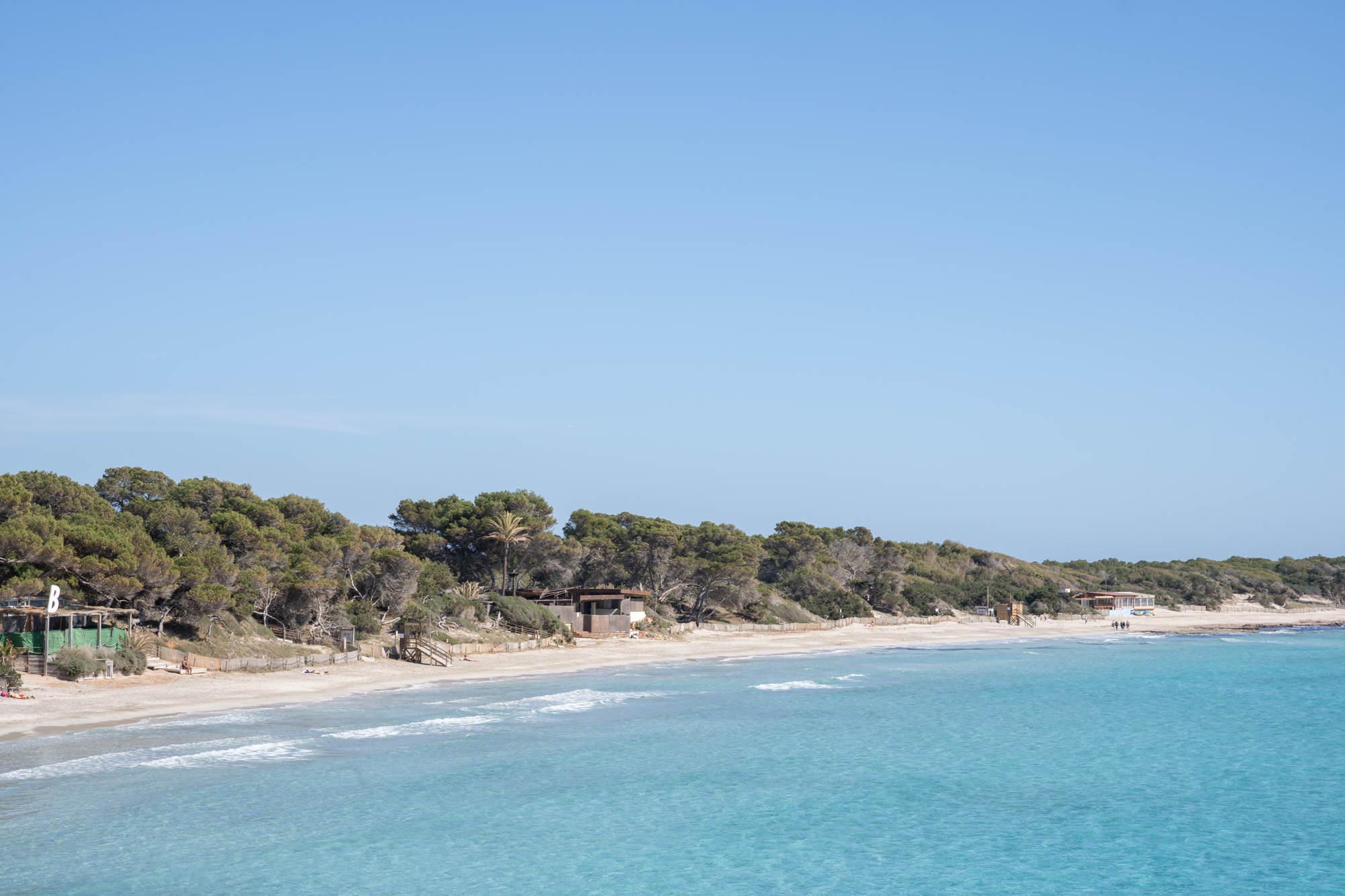
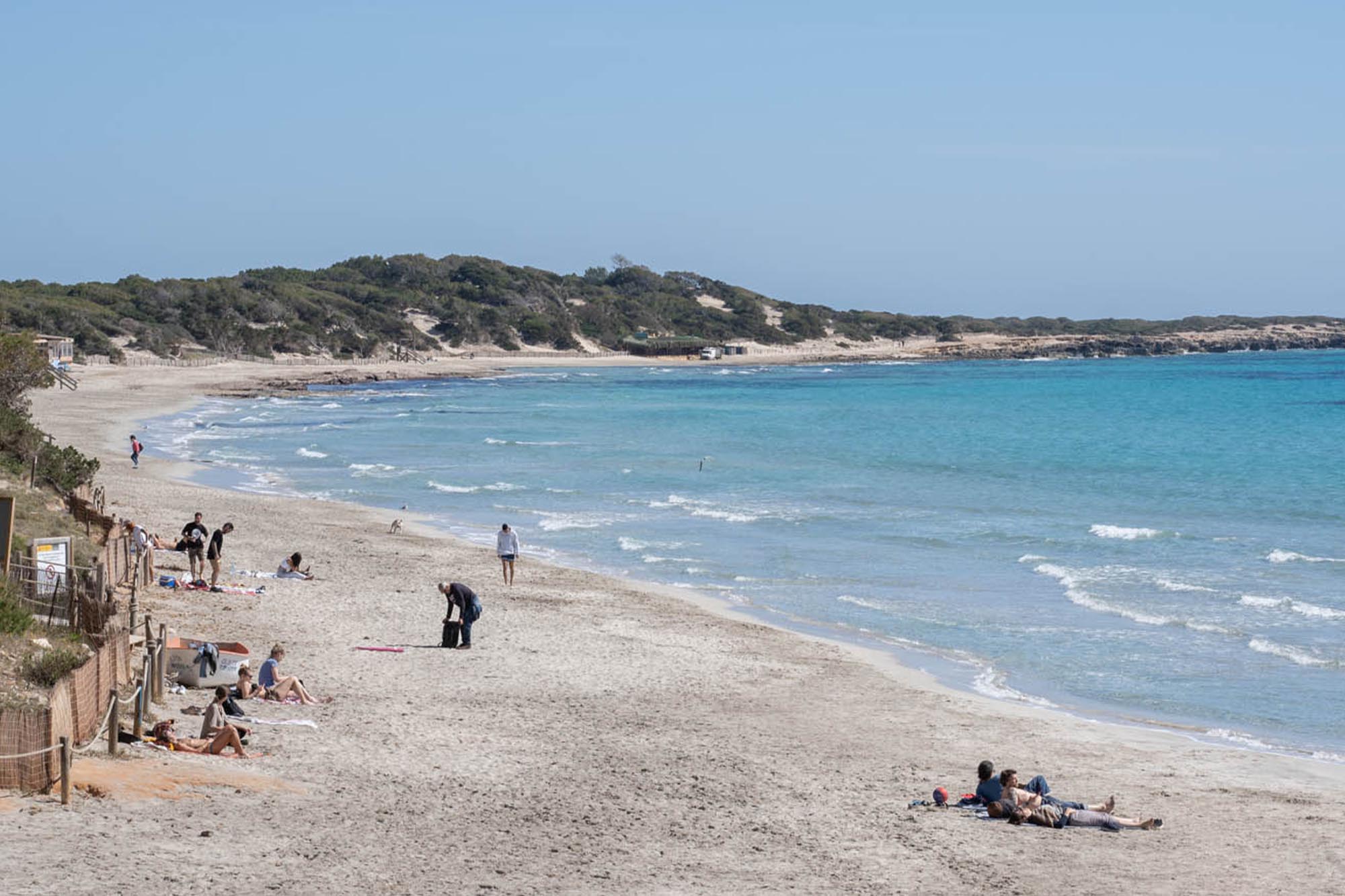
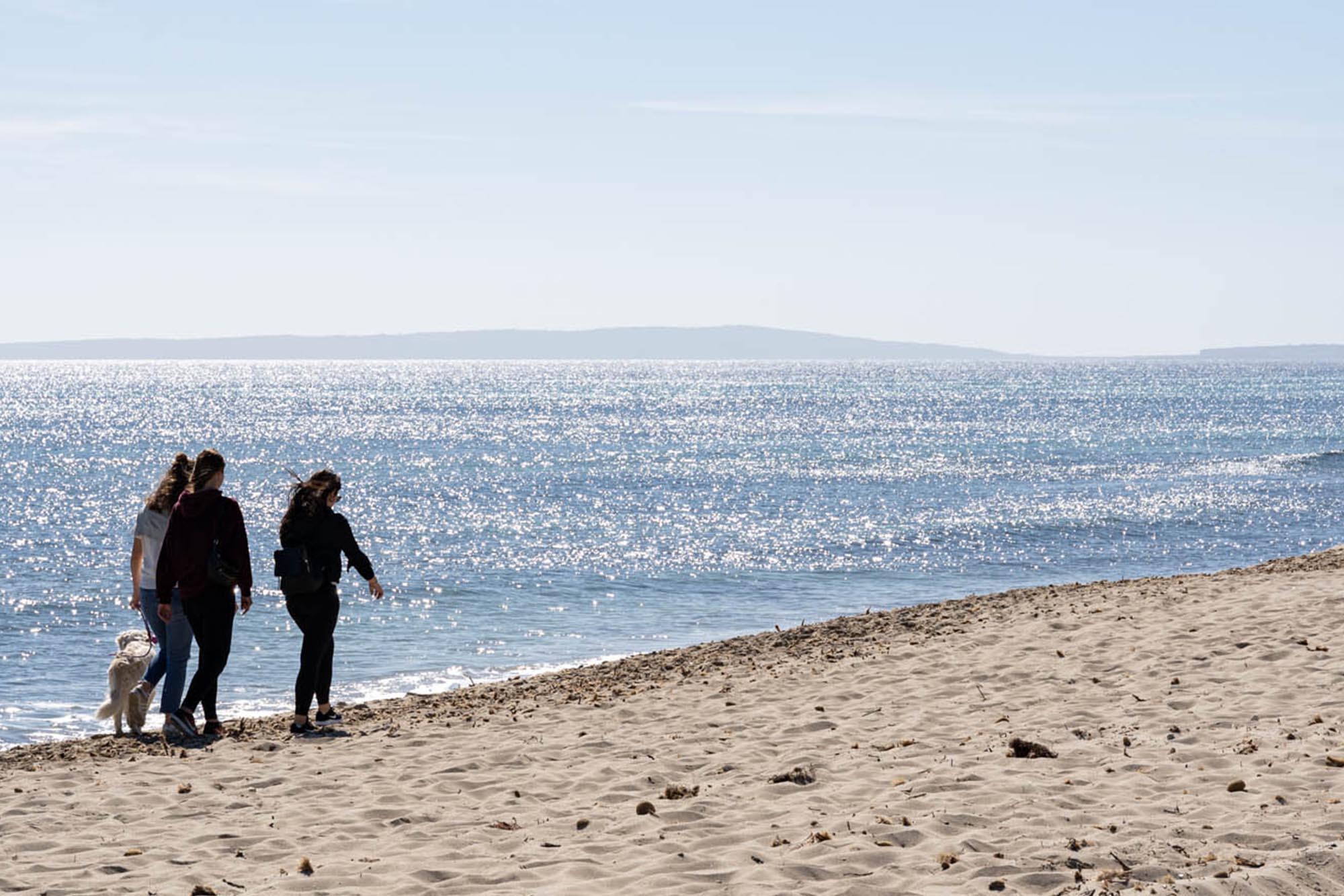
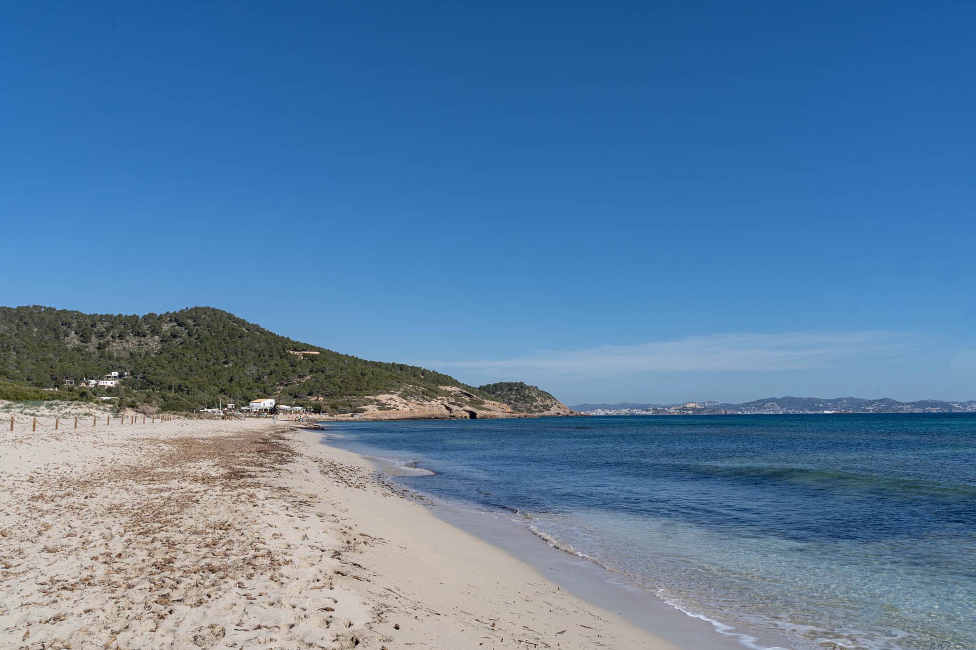
You can join the Sa Sal Rossa route at any of its points indicated along the path. We propose starting at the church of Saint Francesc de s’Estany which takes you to the beach of d’en Bossa, where you will turn back to reach your point of departure.
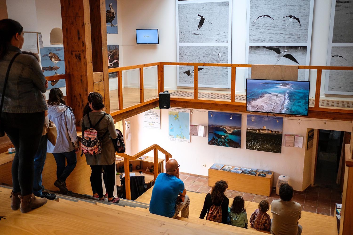
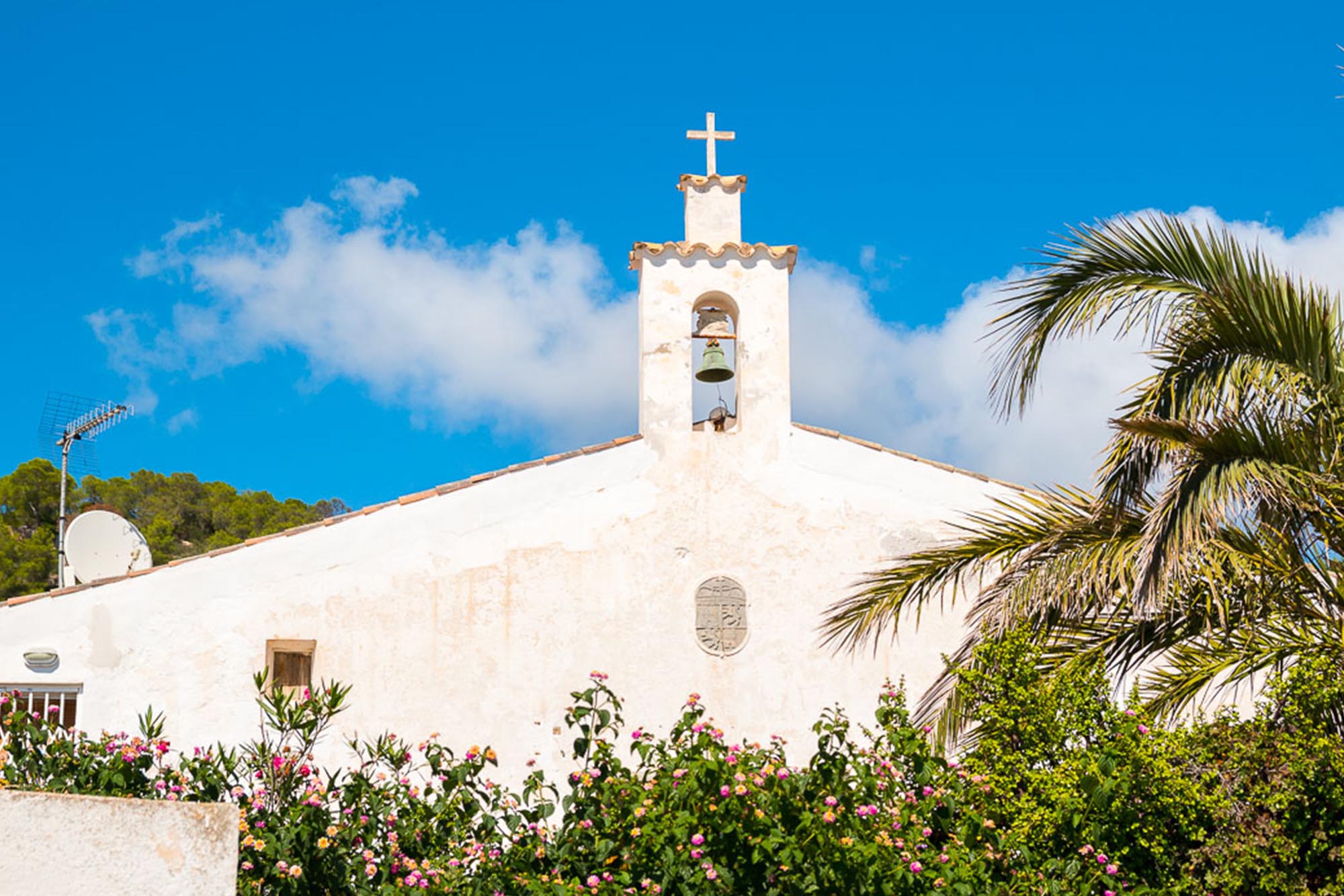
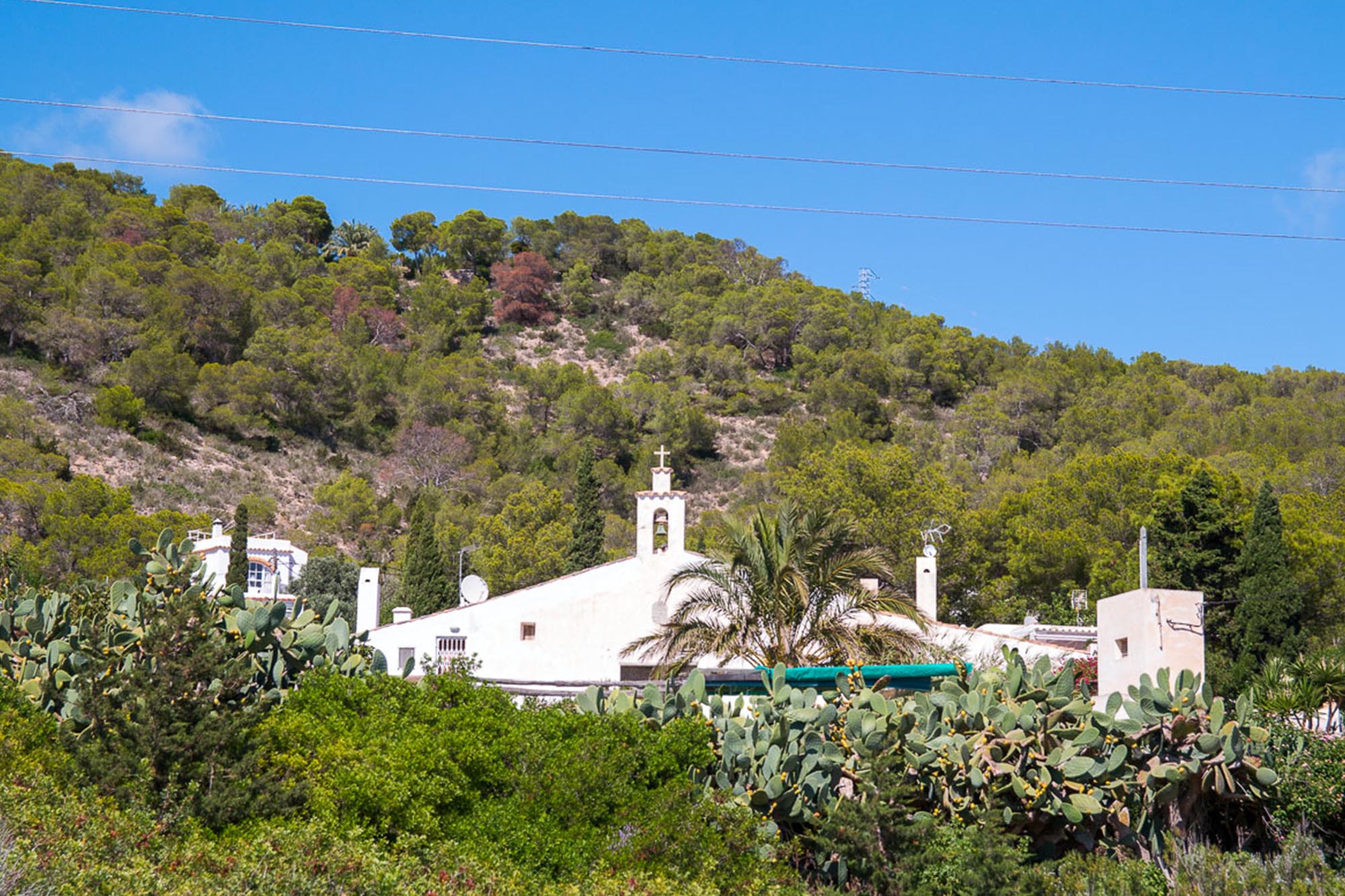
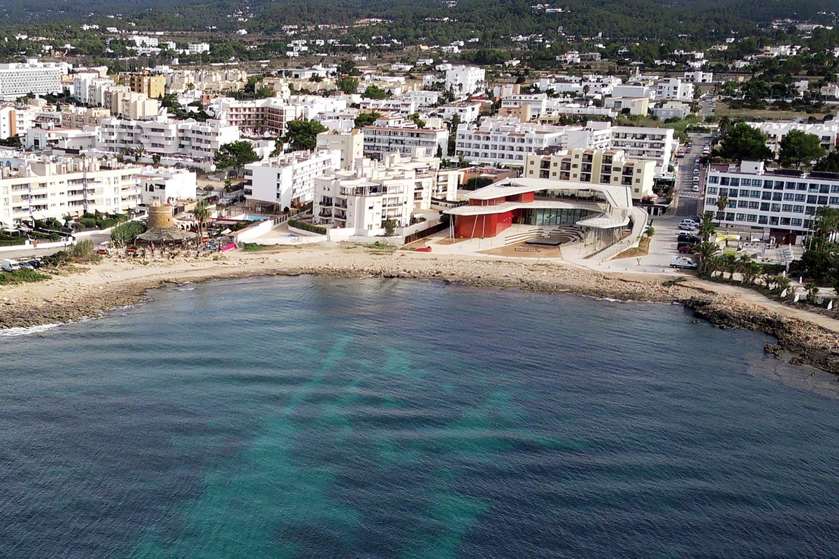
The charming little 18th century church with its bright white walls and traditional architecture, is a striking building that dominates the village of Sant Francesc. Beside the church, the presbytery is now the Ses Salines visitors’ centre, which provides an excellent opportunity for learning more about the history of the salt works with photographs, films and the implements used, all of which illustrate the natural and cultural values of the place.

Church of Sant Francesc
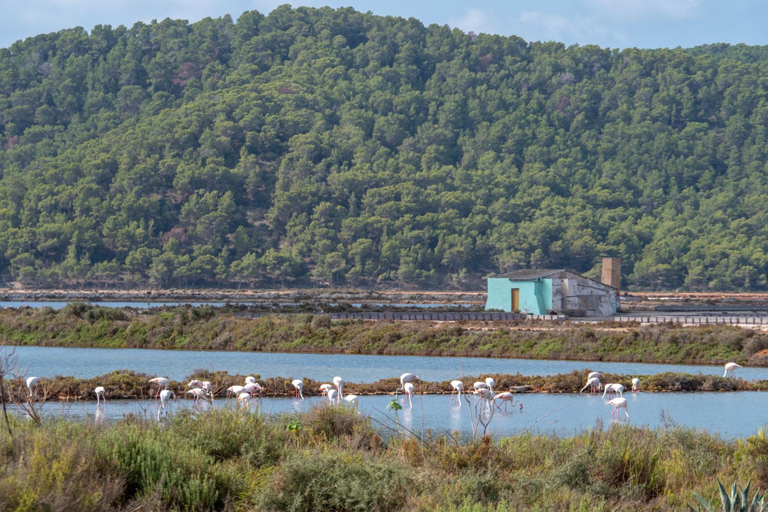
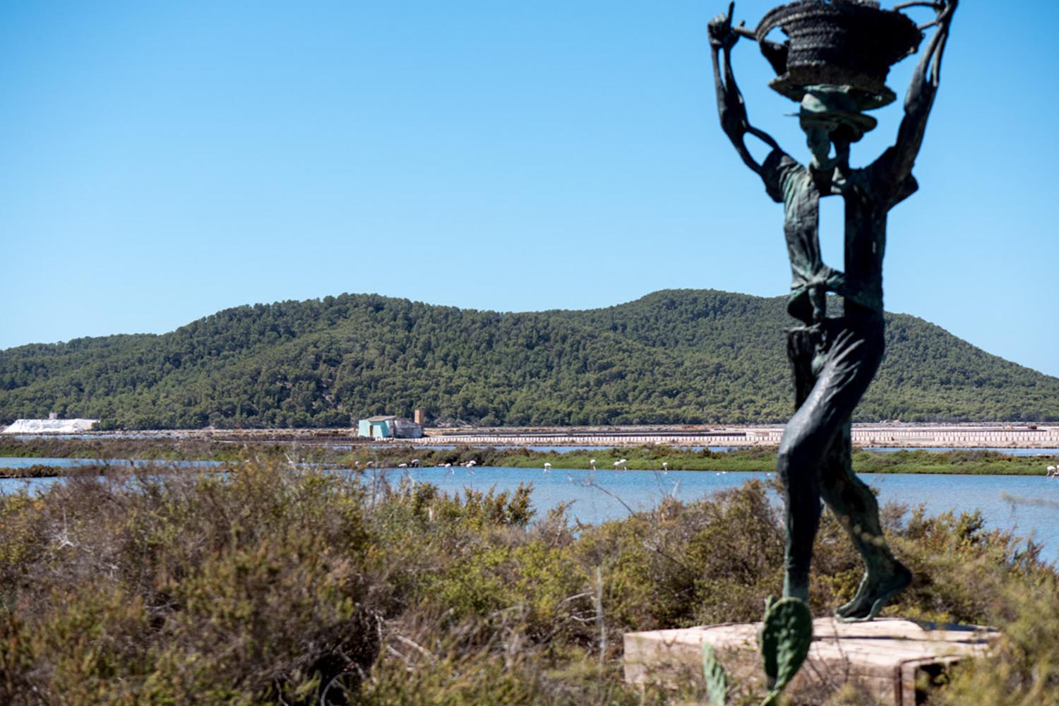
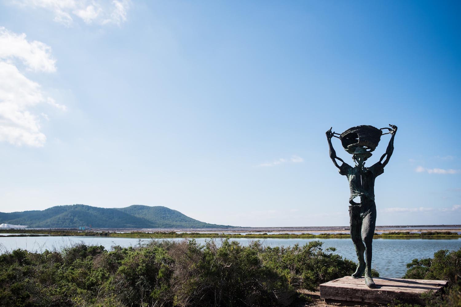
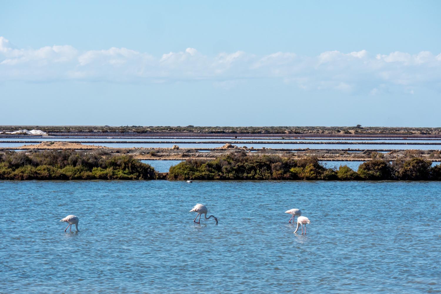
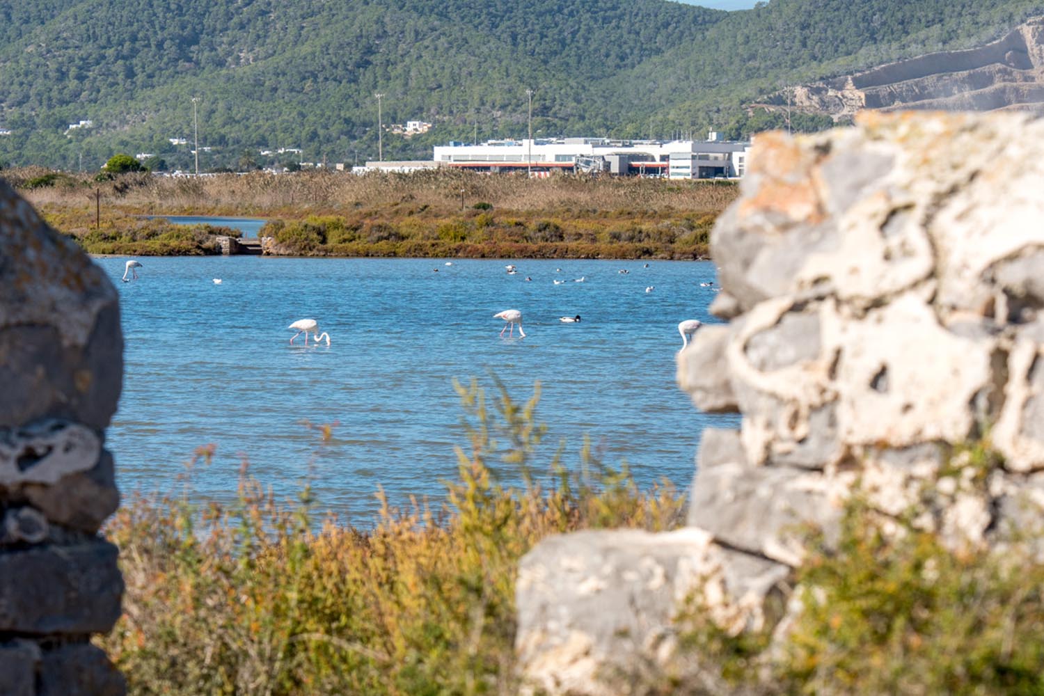
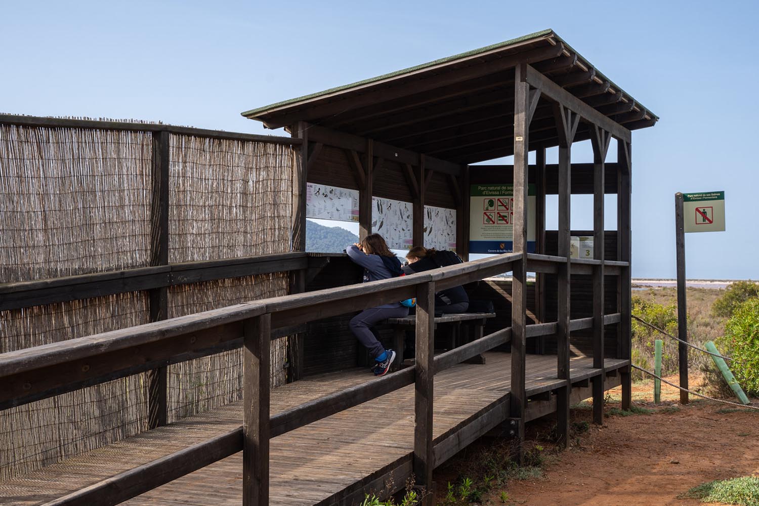
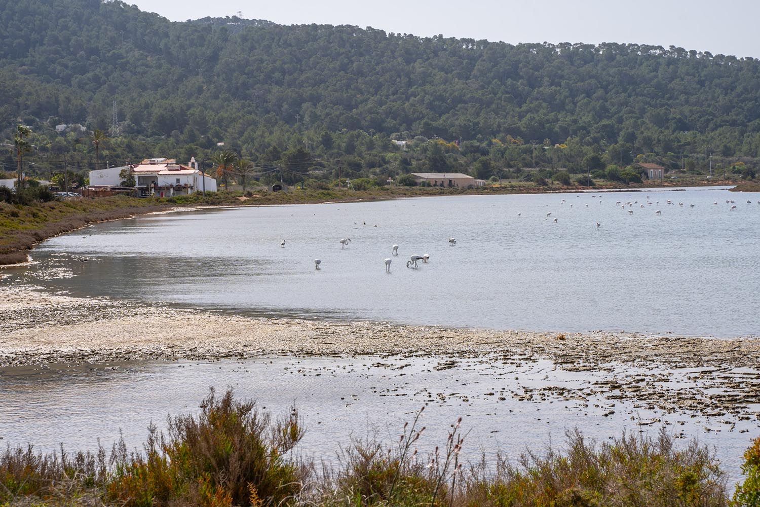
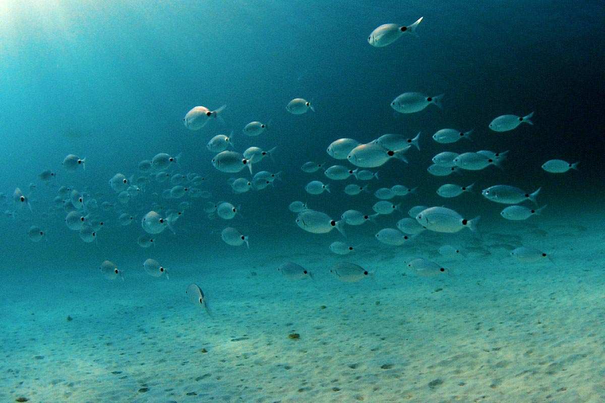
Facing the church, next to the statue created by the sculptor Pedro Hormigo that pays homage to the backbreaking toil of the salt workers, there is a birdwatching hide where you can observe the wealth of birdlife that populates the wetlands. Some 300 metres from here you can follow a path that has been cleared alongside the salt pans in a north-westerly direction – known as the carero de Can Blai– and you will find another hide designed for the same purpose.
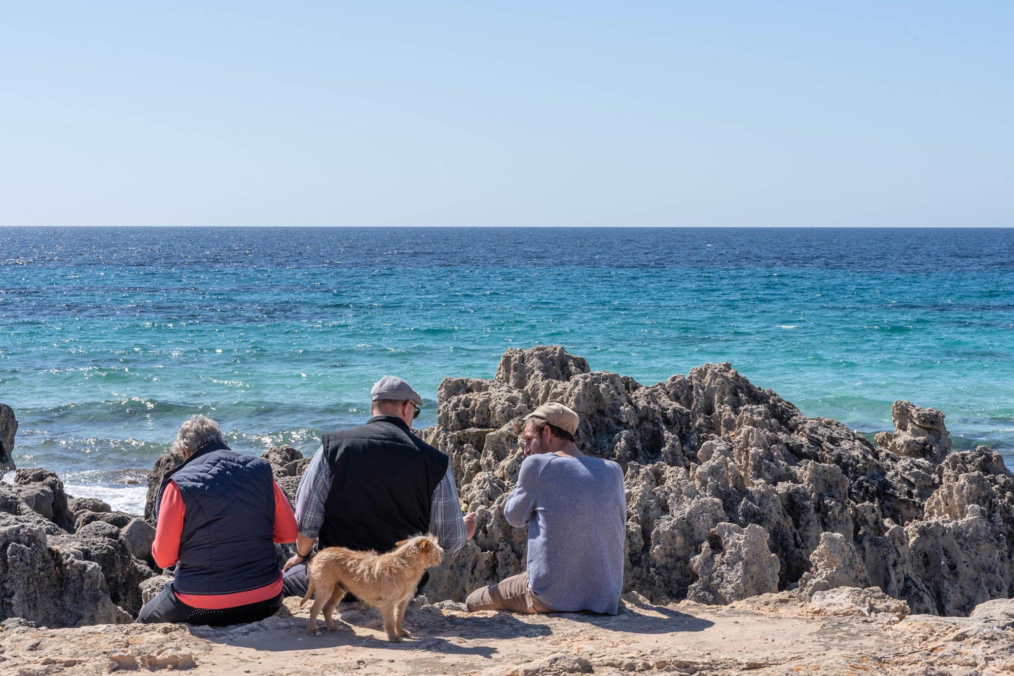
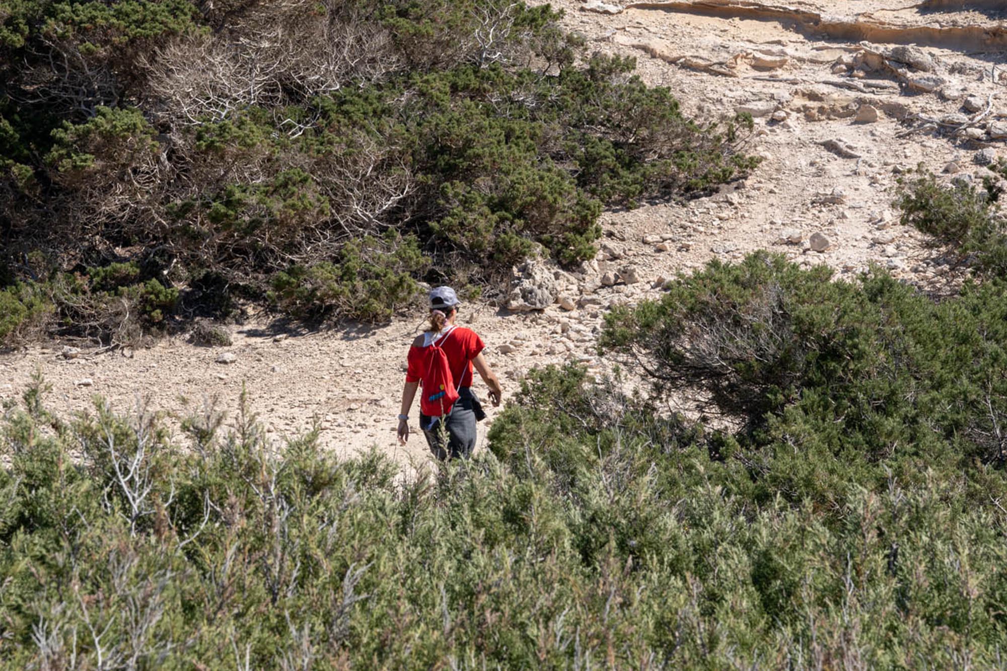
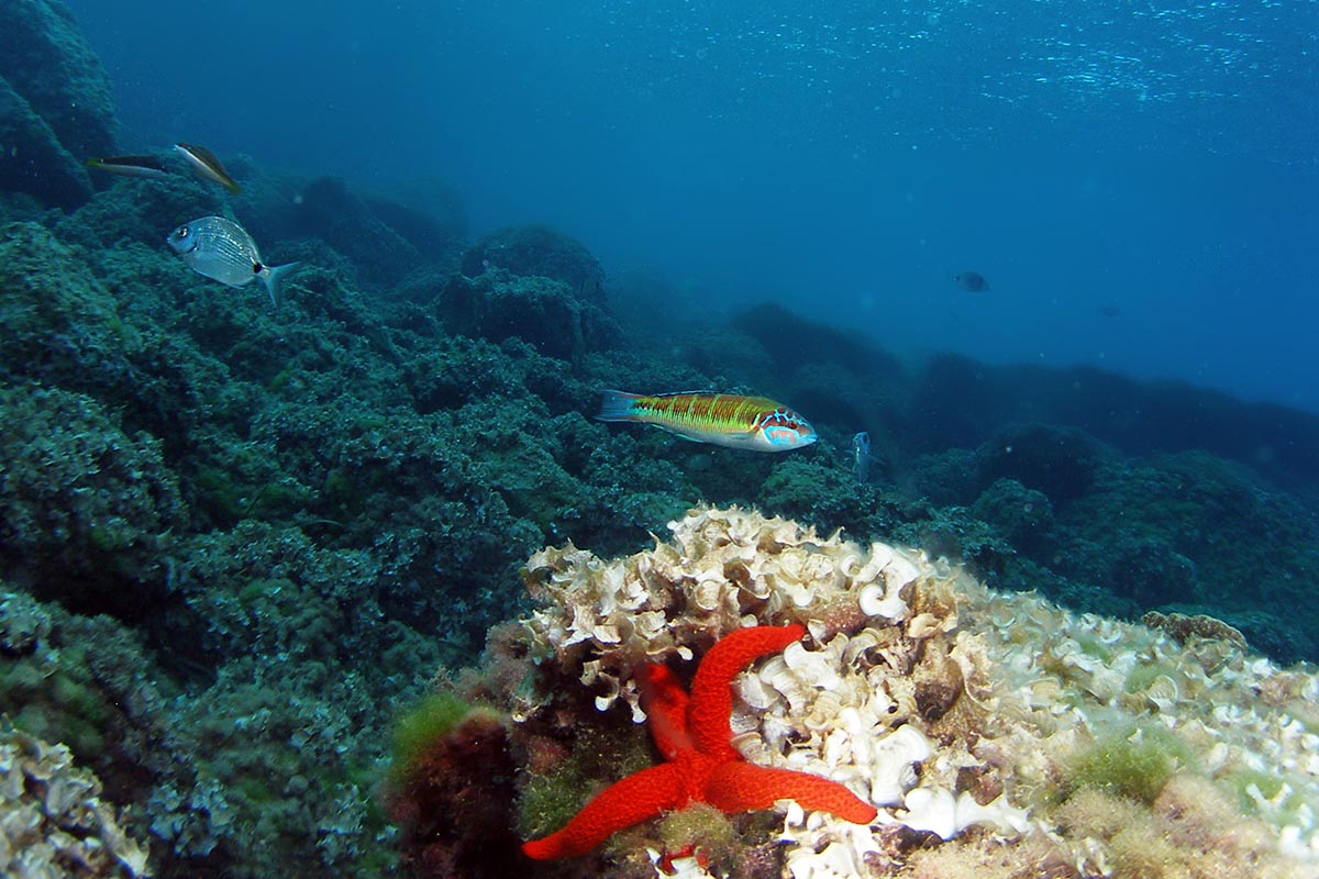
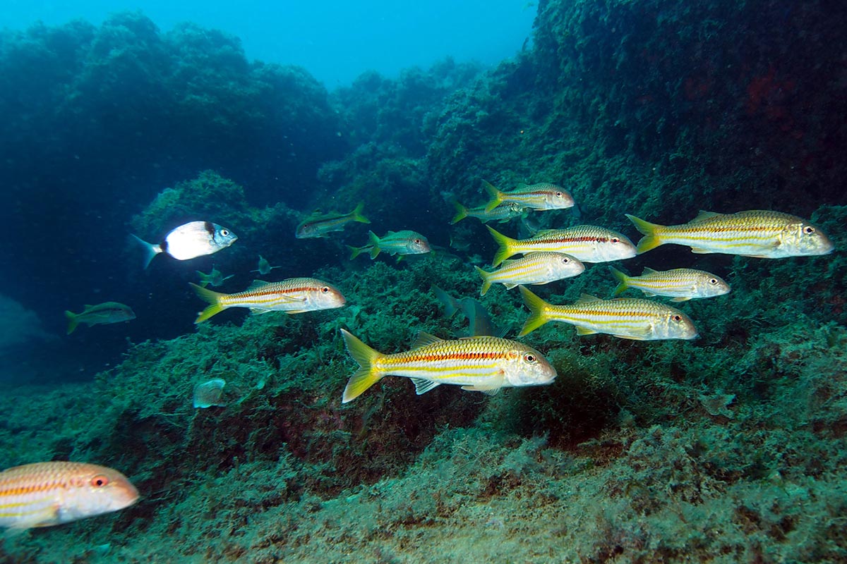
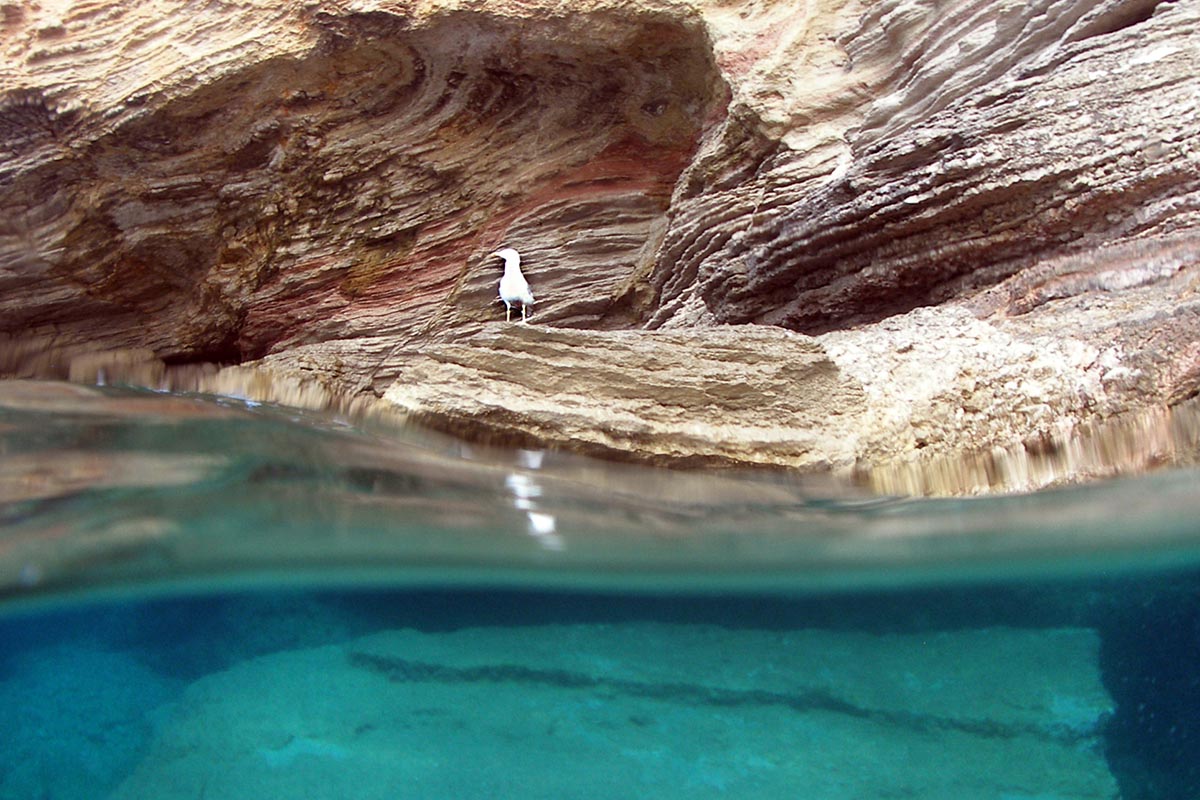
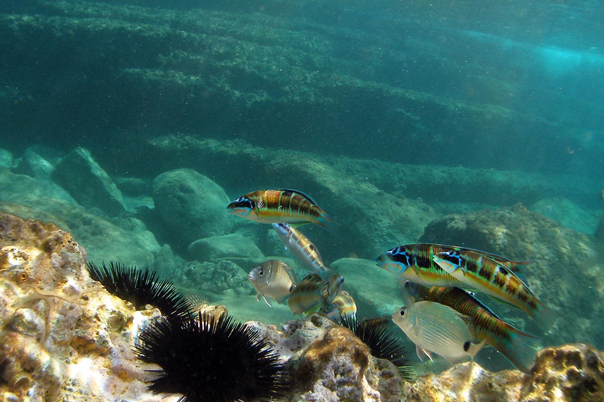
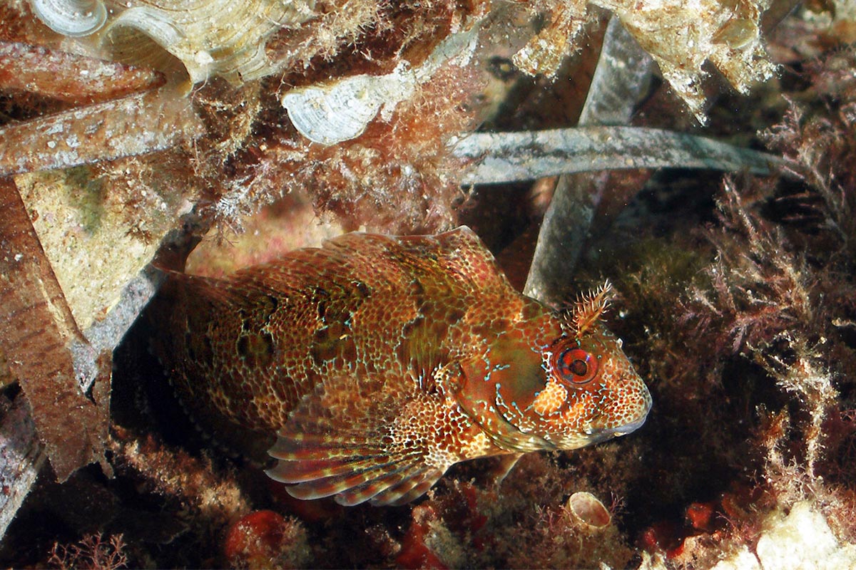
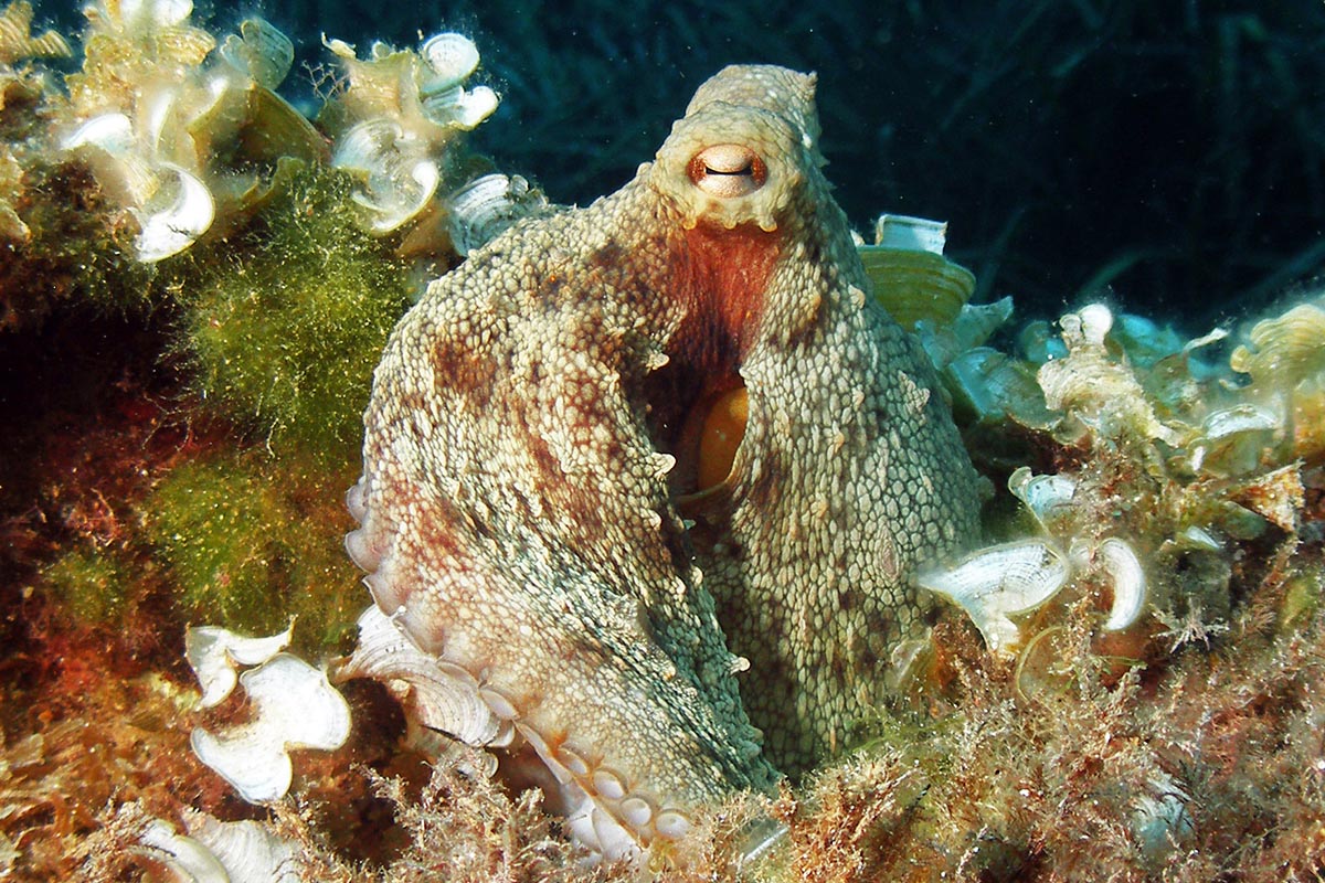
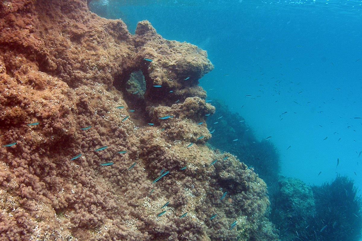
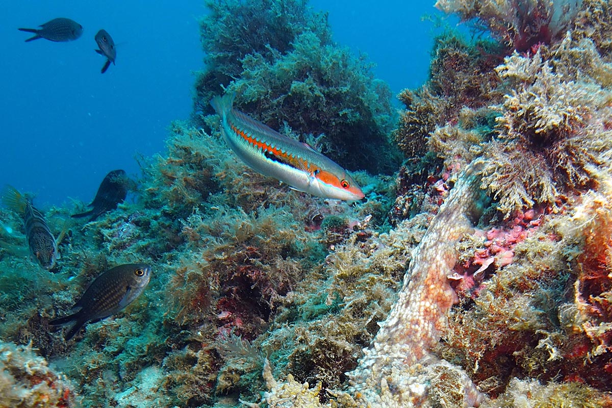
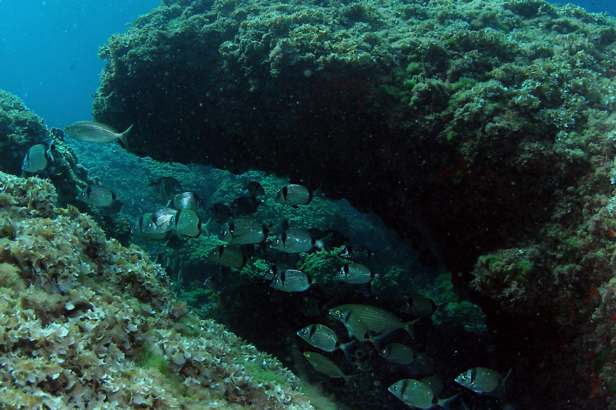
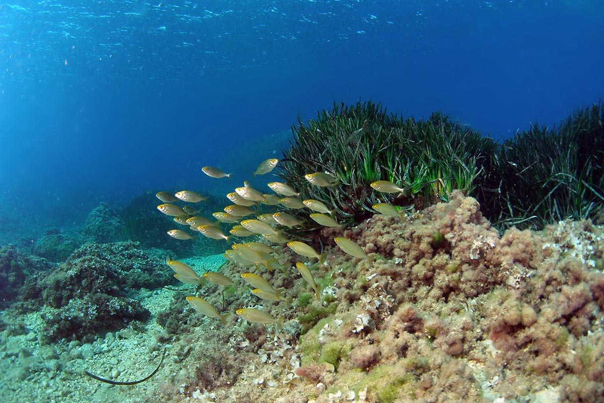
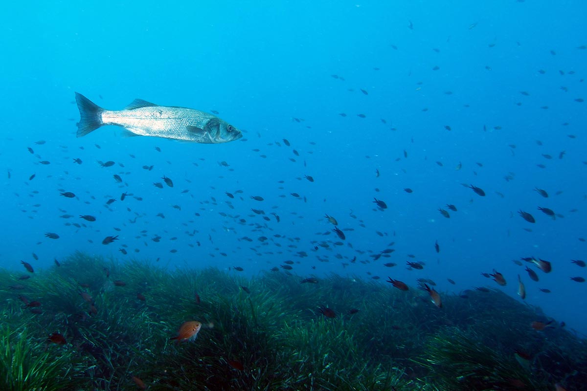
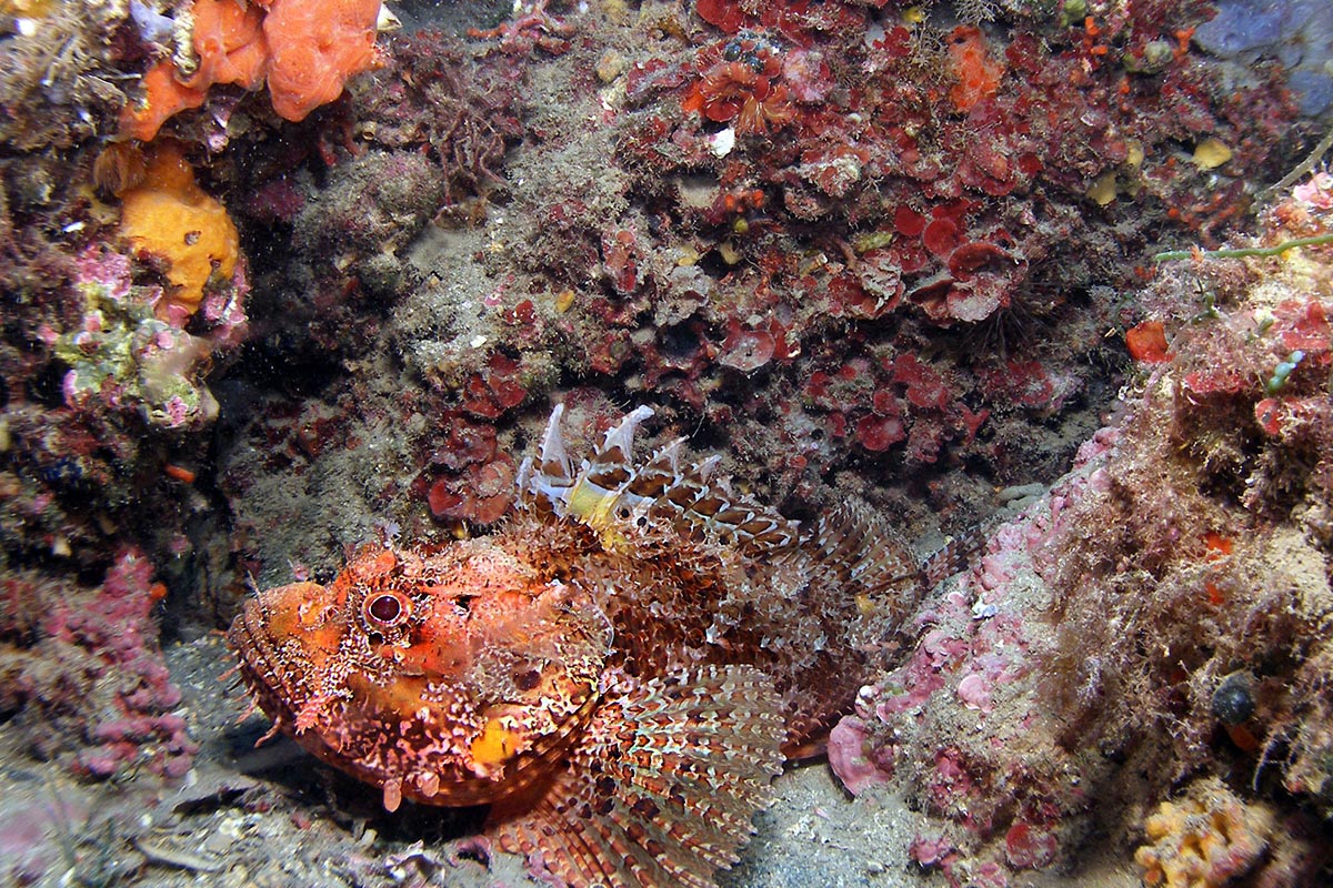
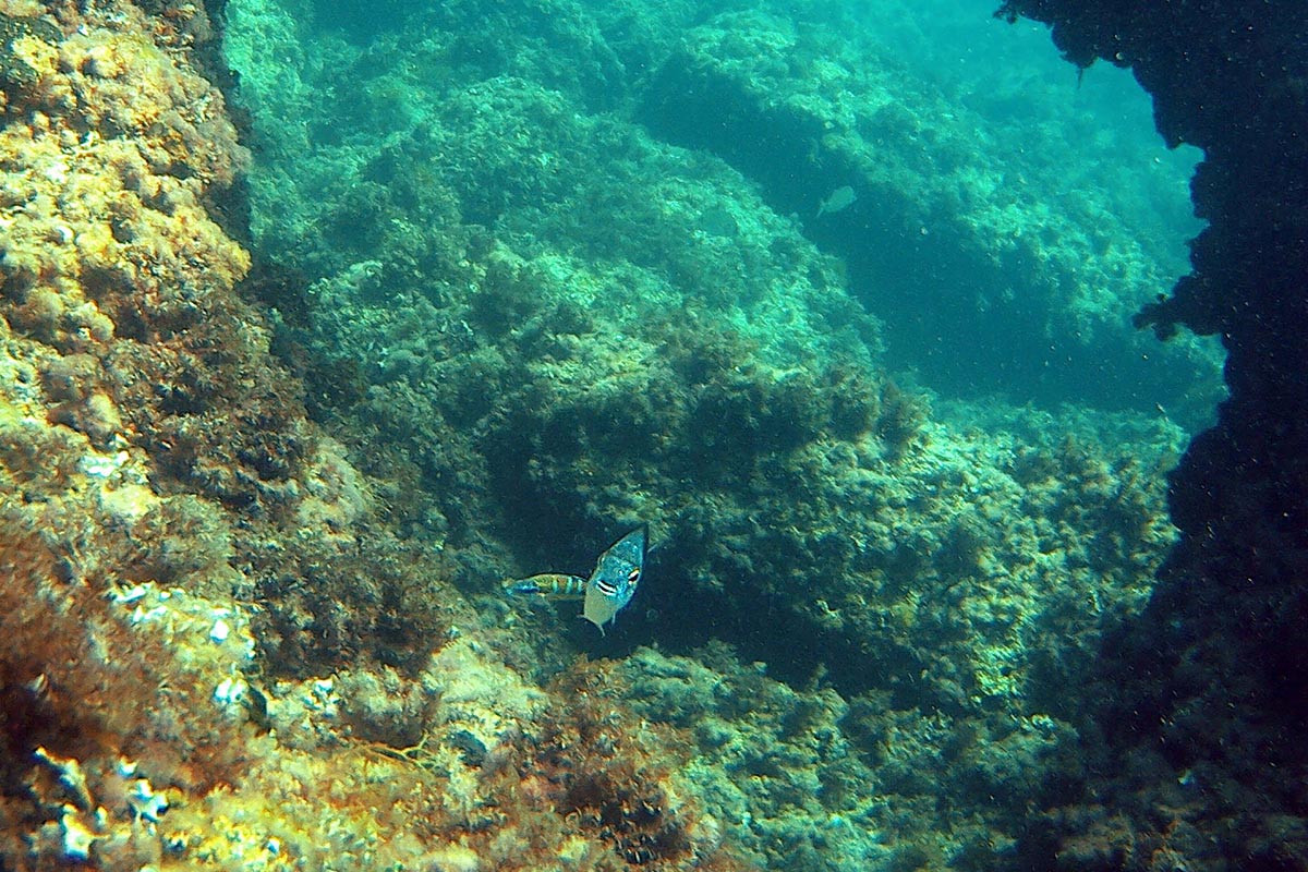
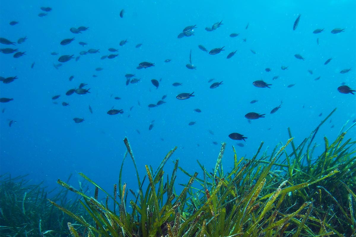
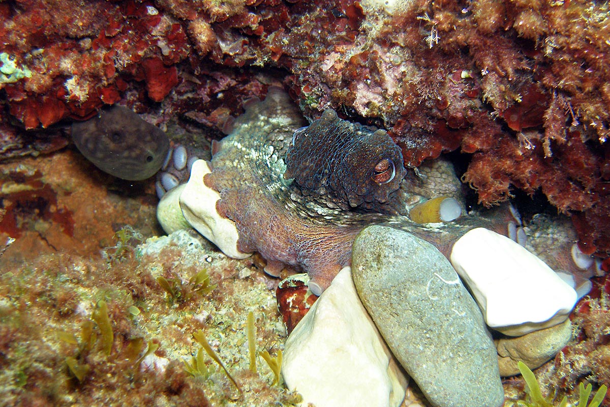
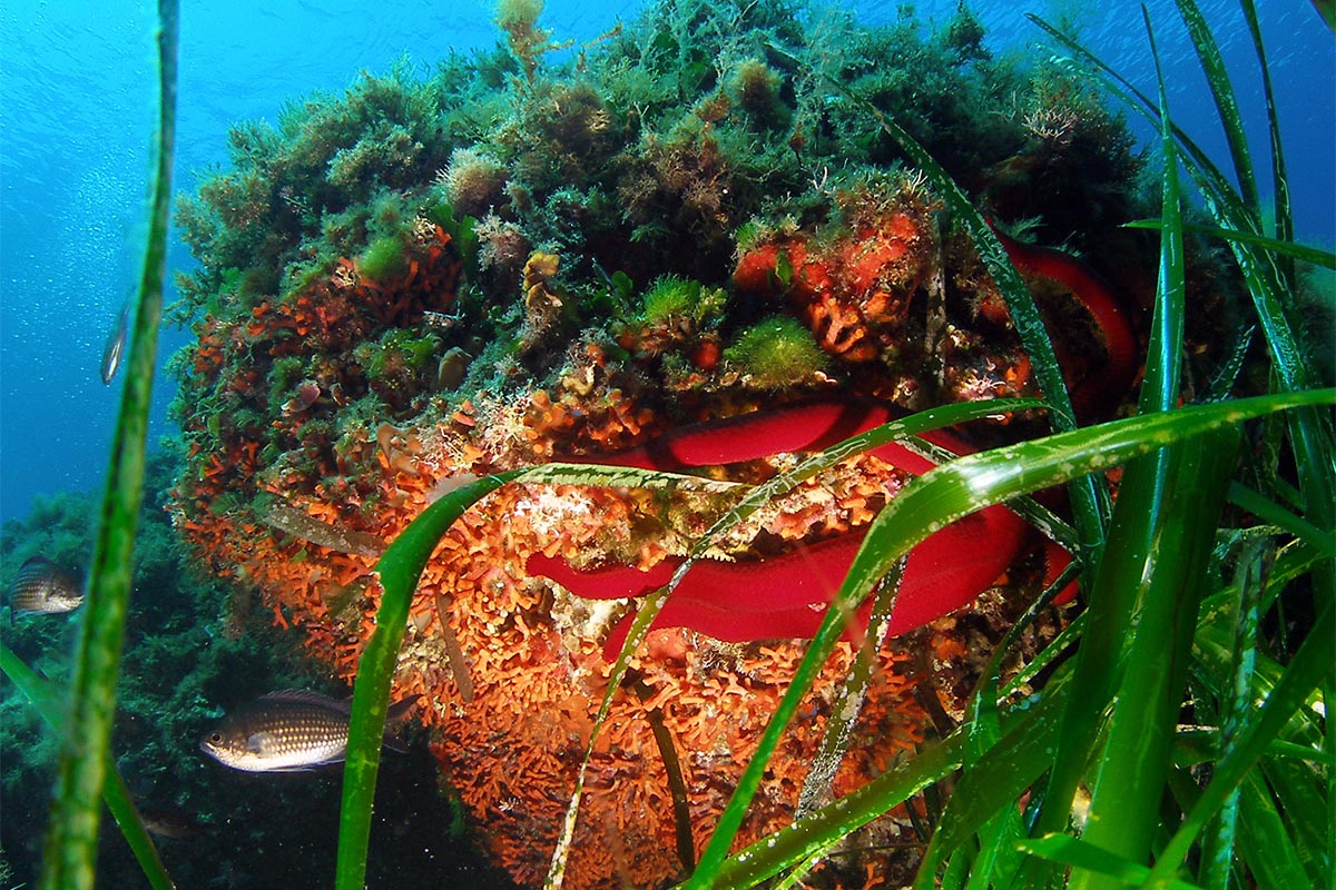
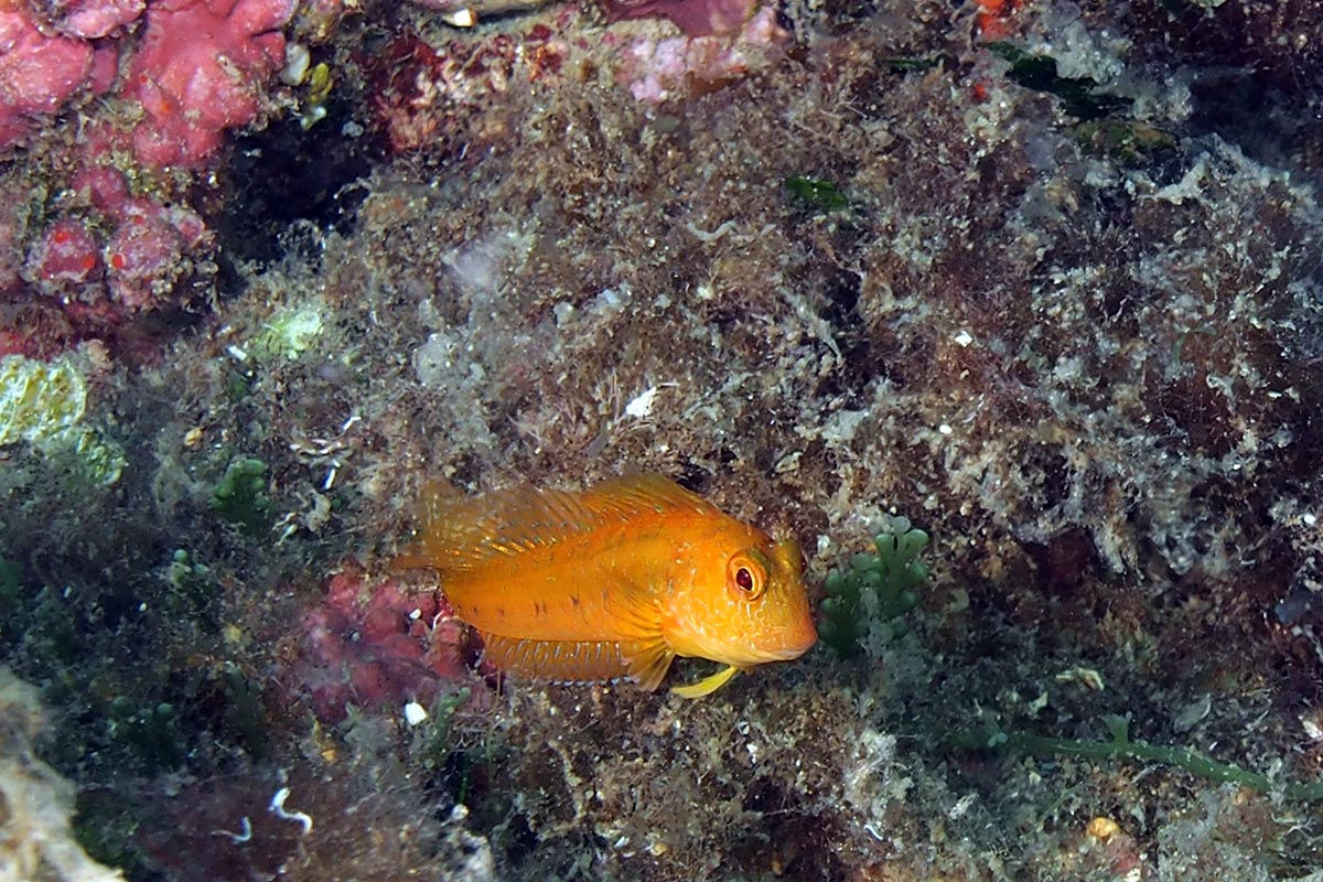
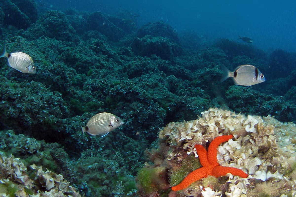
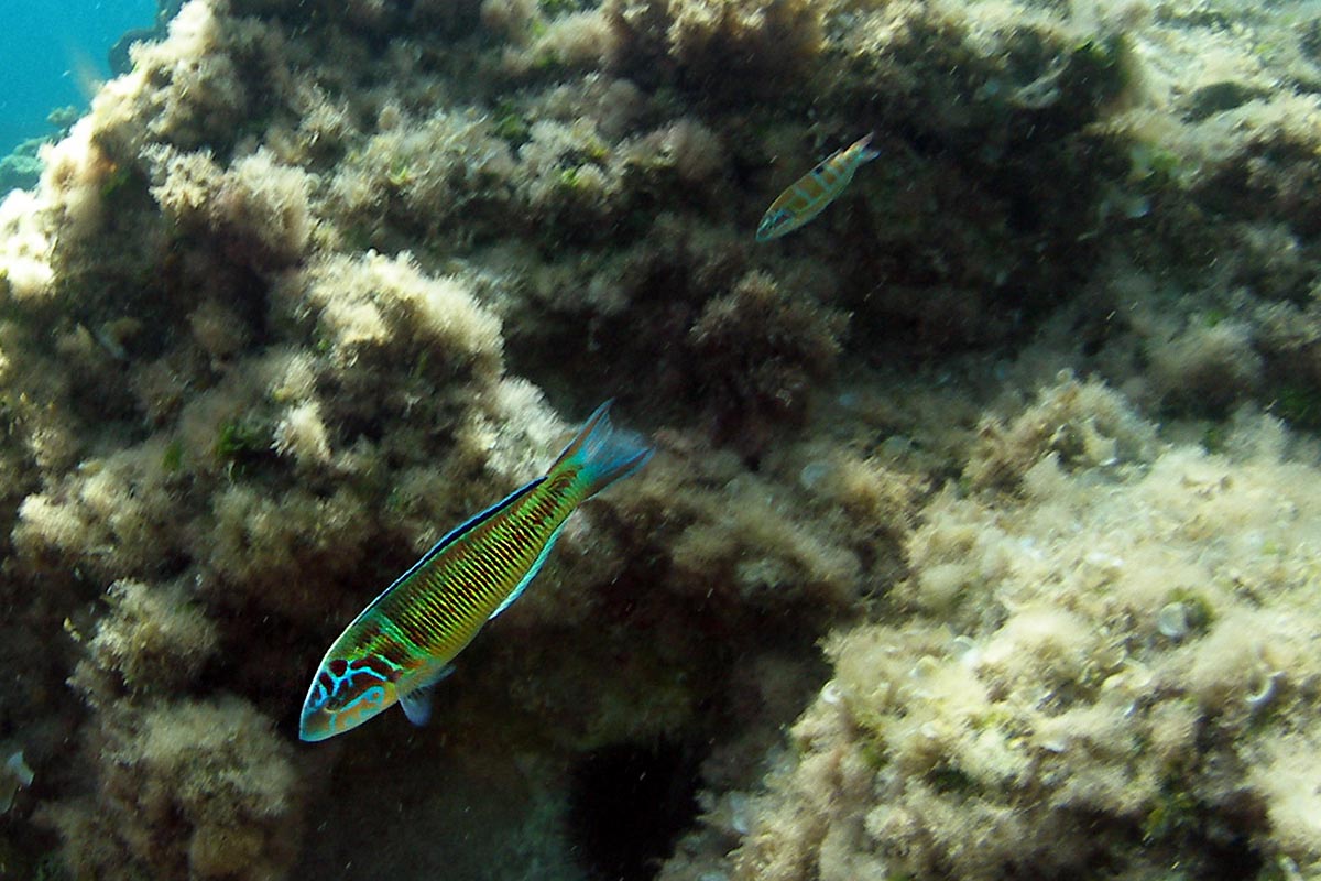
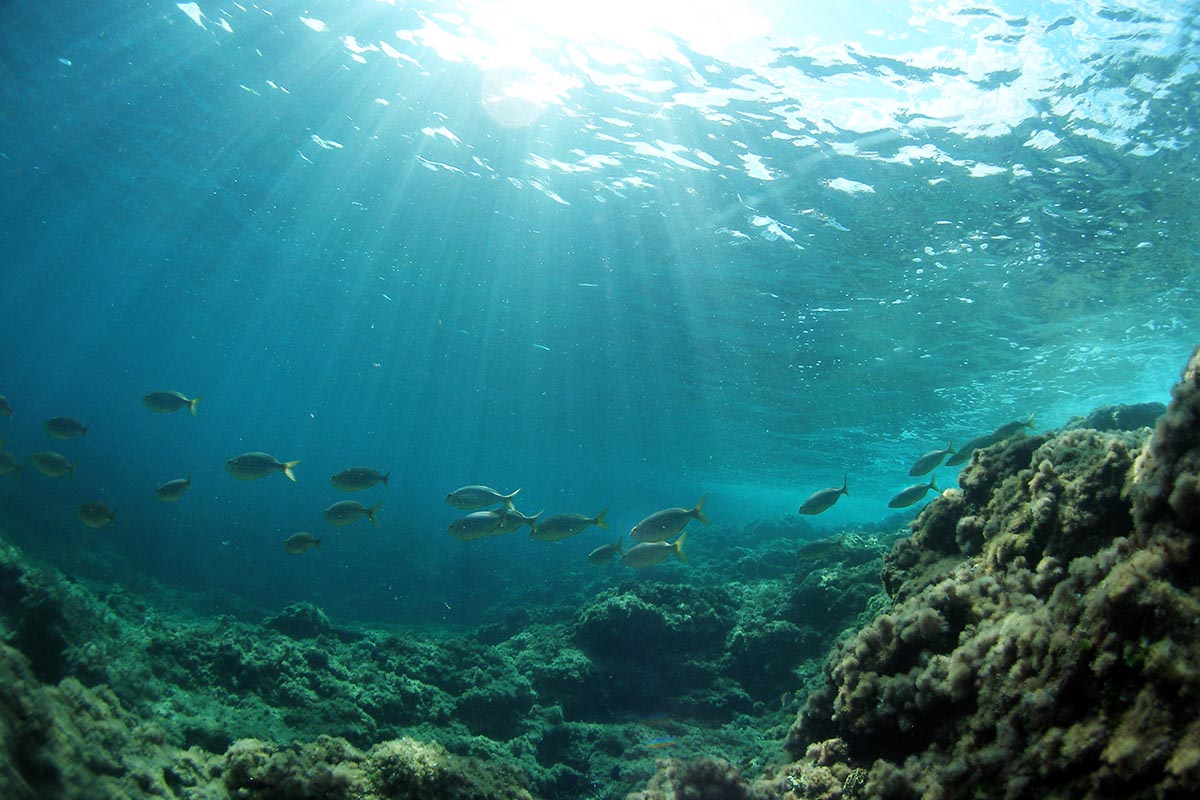
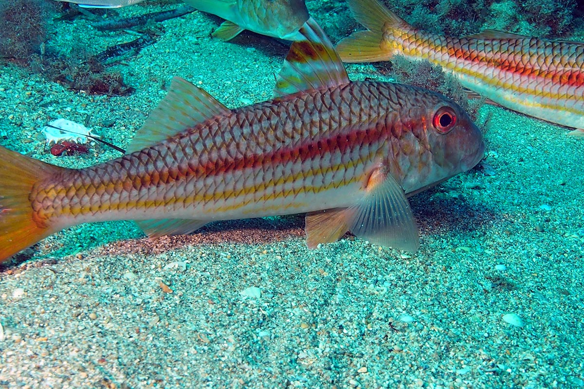
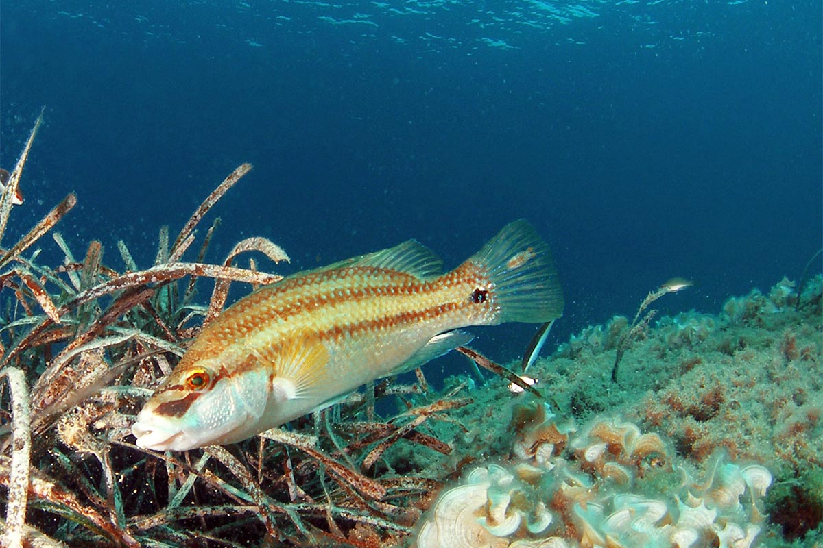
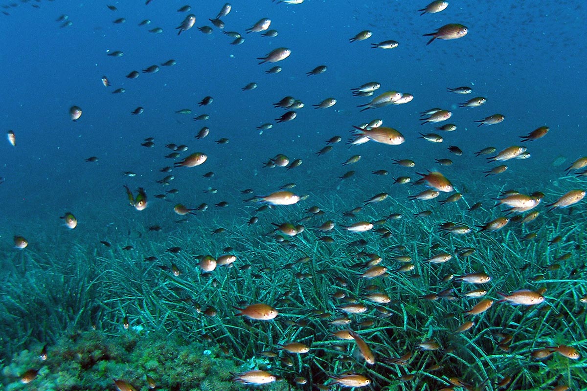
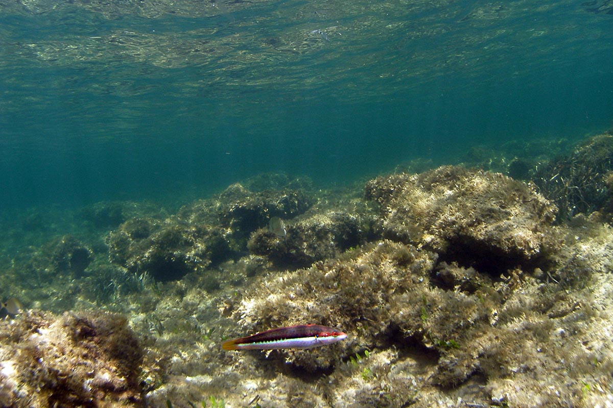
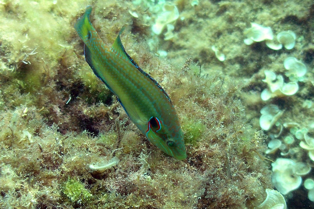
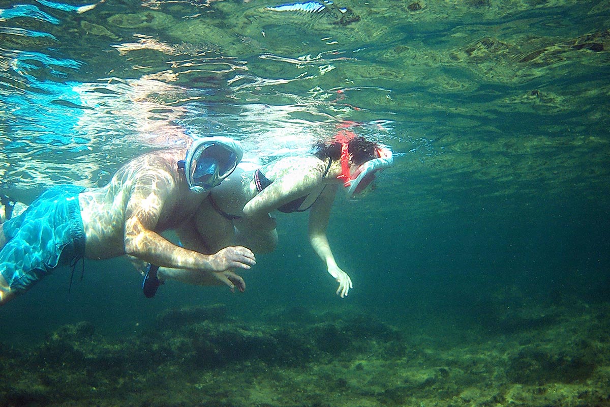
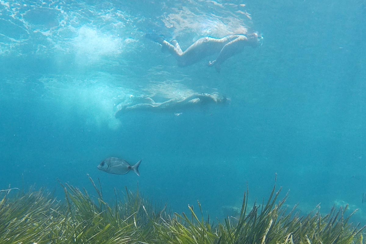
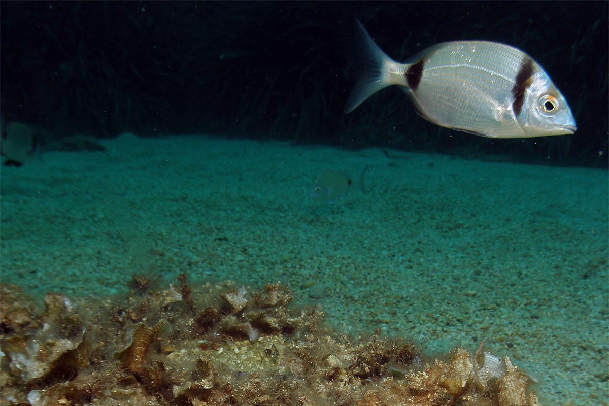
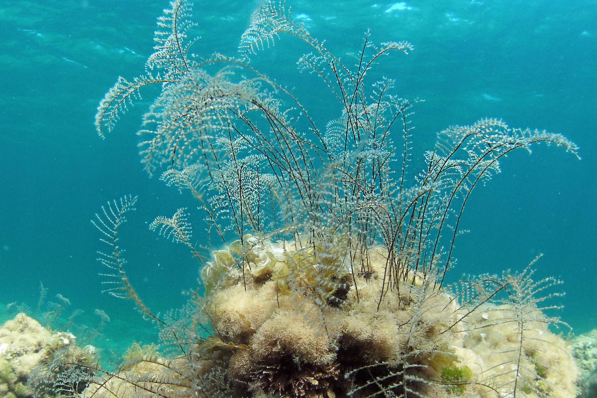
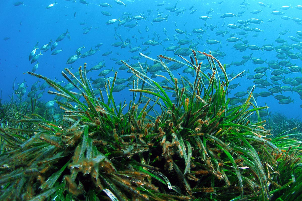
There, in silence, you can observe some of the 200 bird species that inhabit the park as they feed and take shelter in the park. Flamingo, black-winged stilt, Kentish plover, dunlin, avocet, mallard, egret, lapwing, harrier, cormorant and teal … the range of birds you can spot is enormous and will delight avid bird watchers. The flora is equally impressive, with a number of endemic species each specifically adapted to their environment. Reeds, juniper and pines that grow on the mountainsides are the most visible plants, but there are some extremely important smaller and medium sized species that make the park a truly valuable natural area.
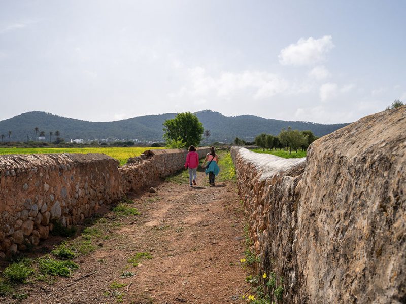
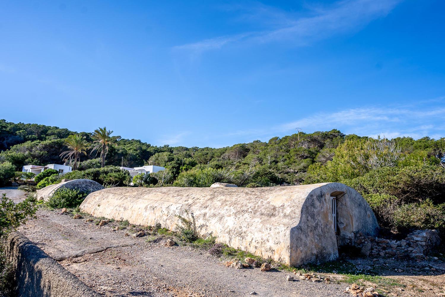
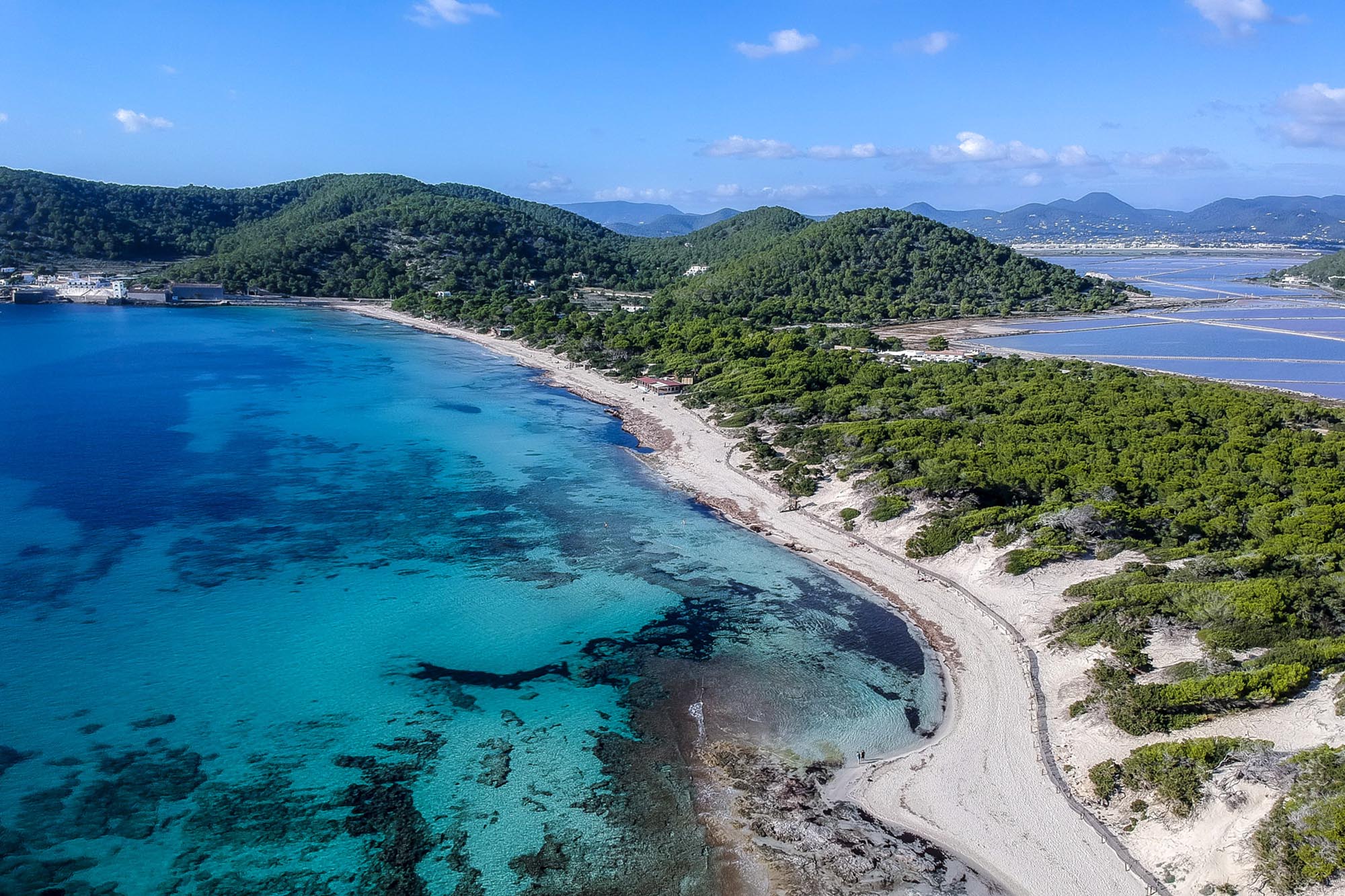
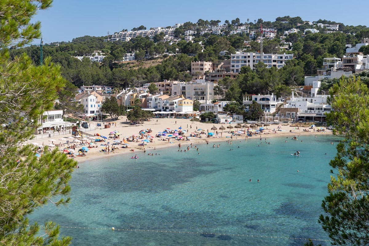
Back at the church once more, you cross the road and take the path that runs along the canal leading to the beach of d’en Bossa. The route will take you to some historic places such as the cave where, in 1936, the poet Rafael Alberti and his wife, taken by surprise at the start of the Civil War, took refuge for three weeks. A commemorative plaque indicates the spot.


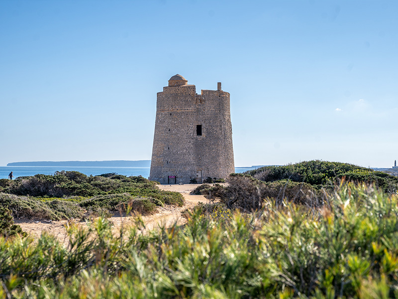
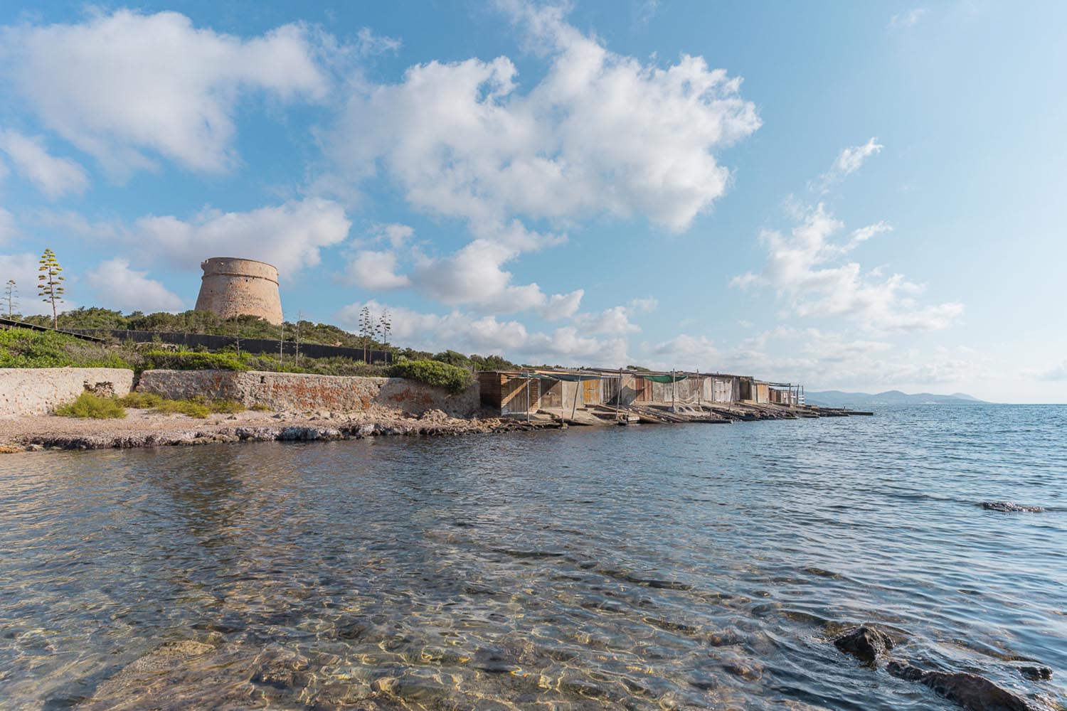
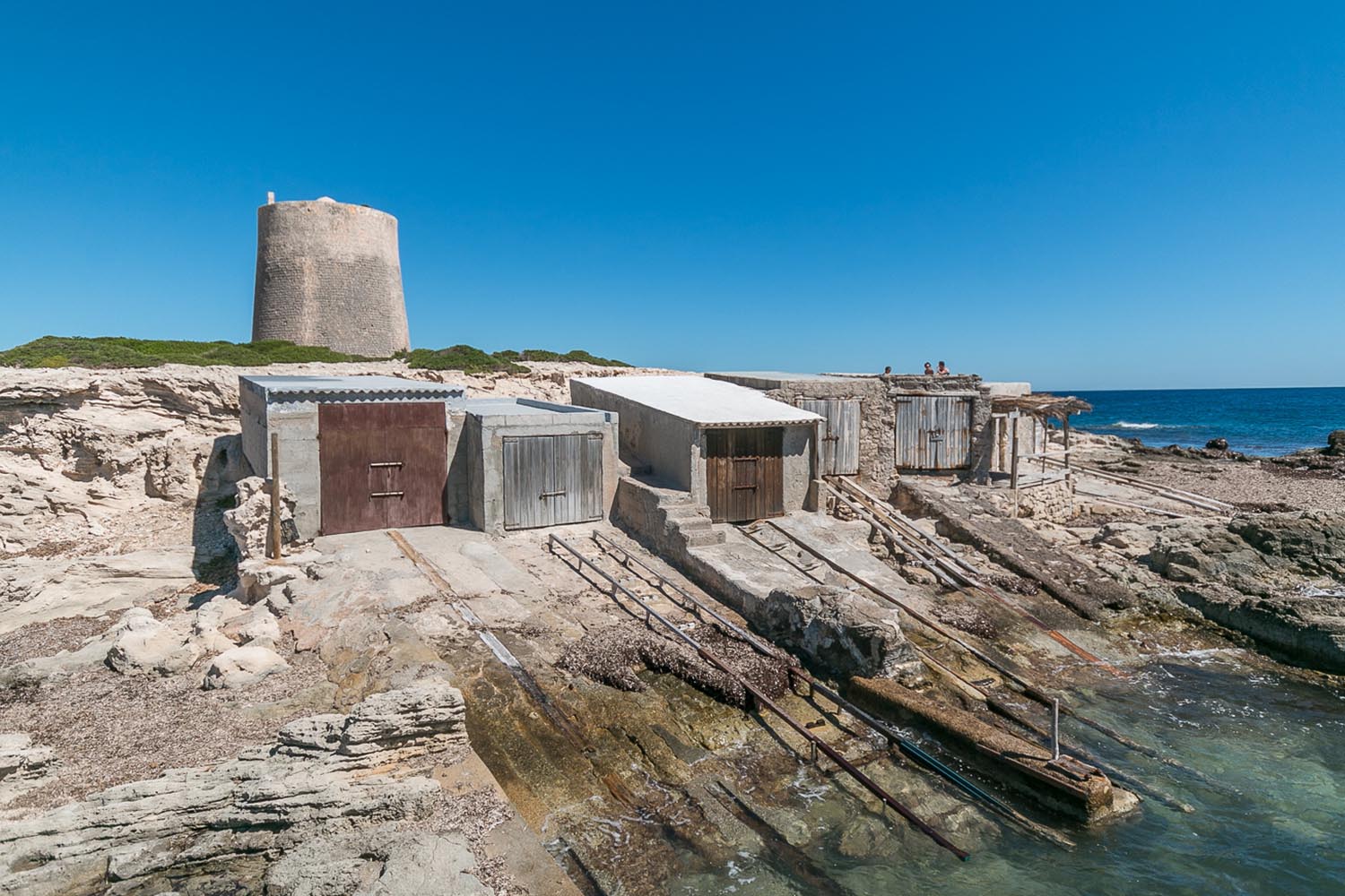
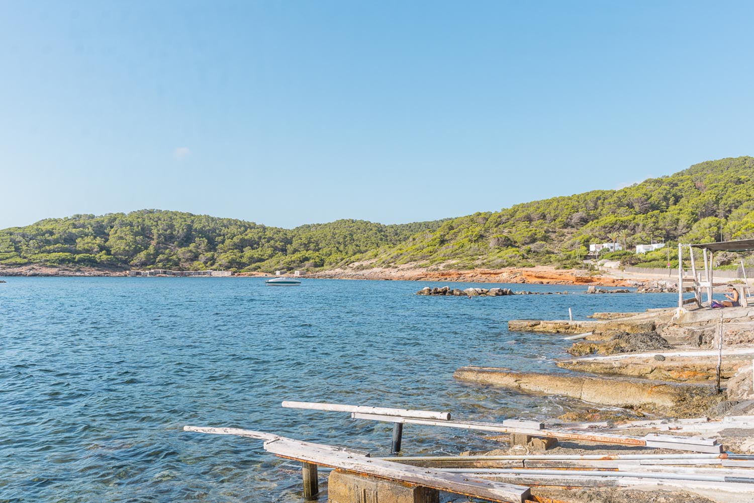
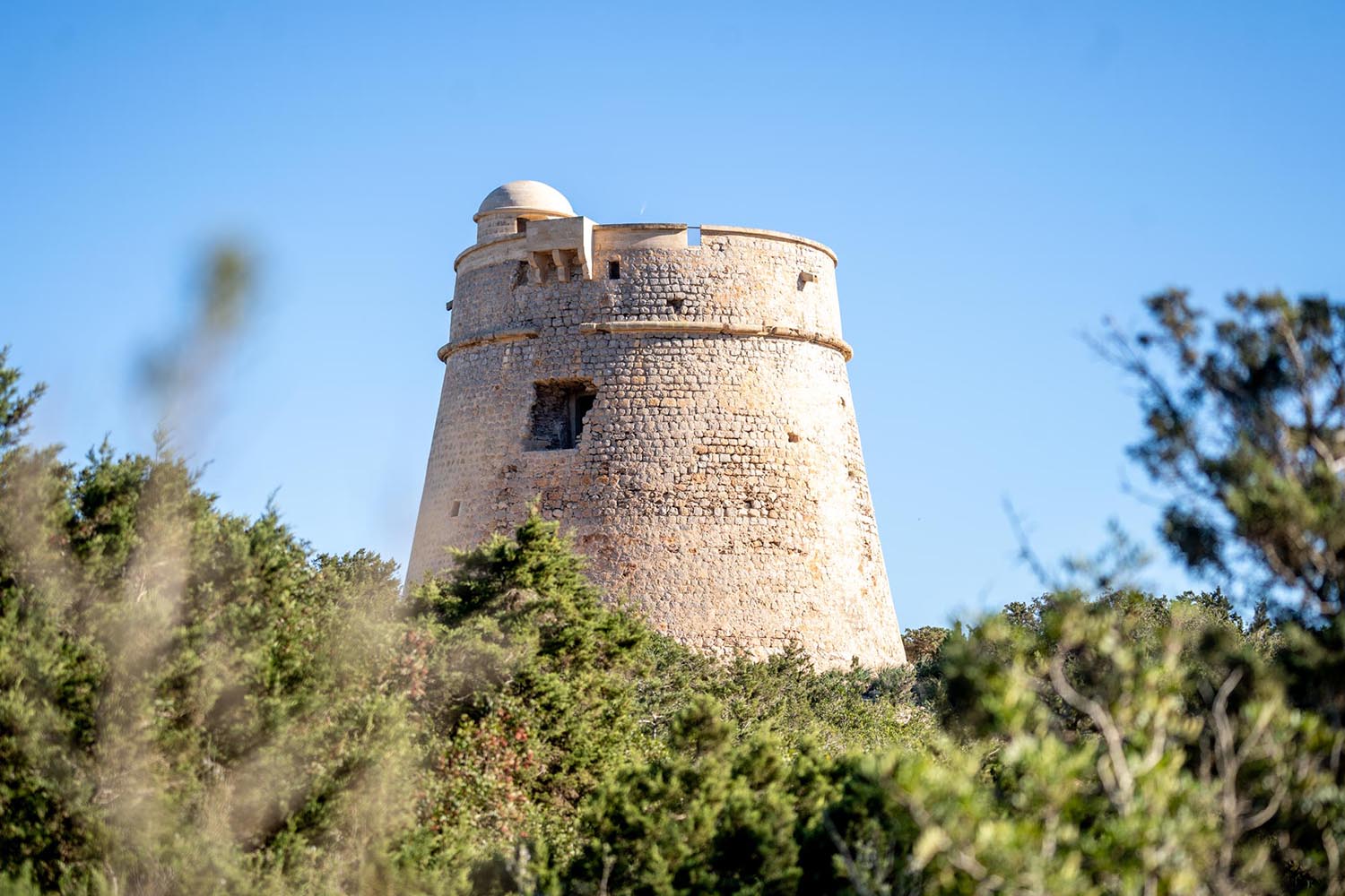
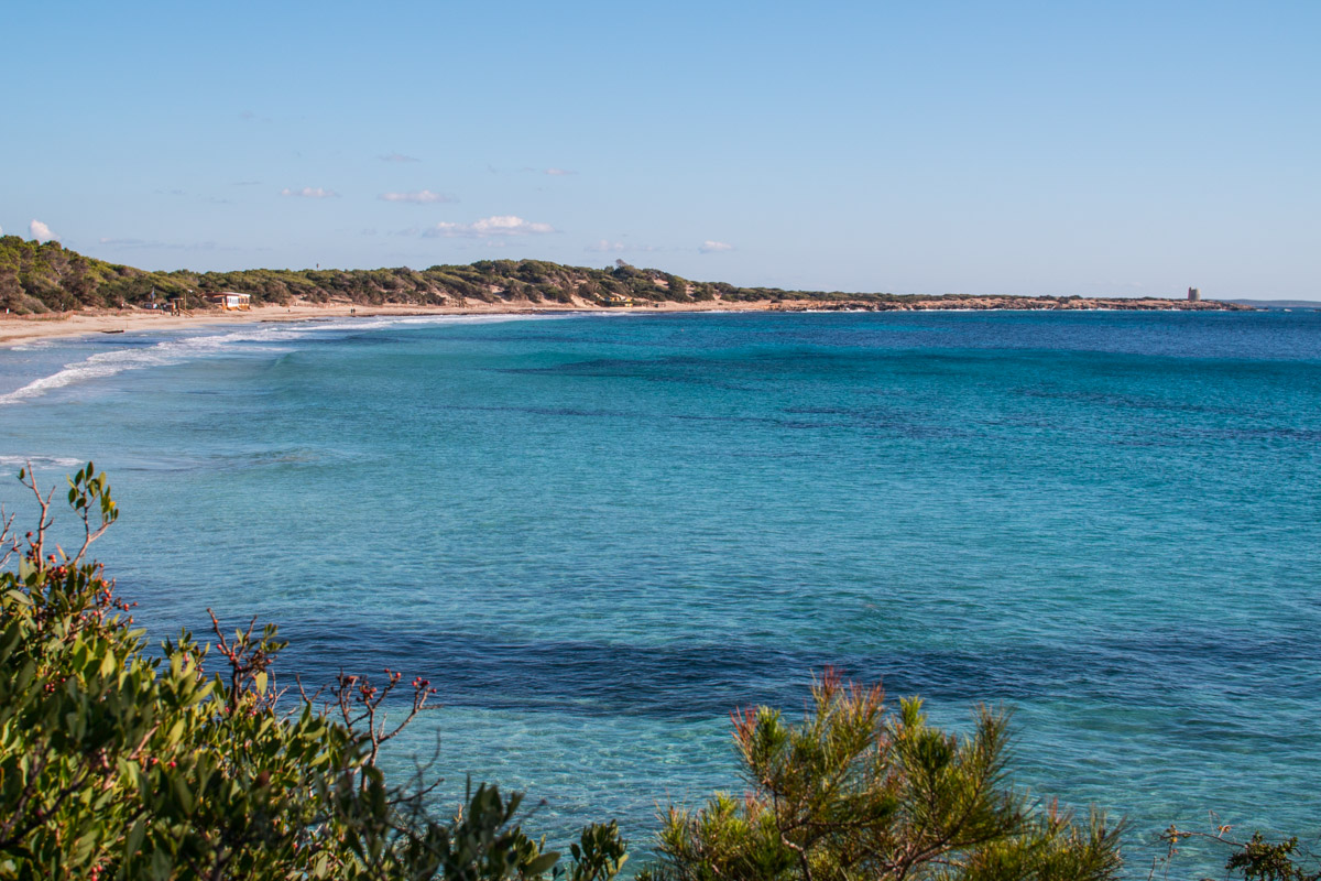
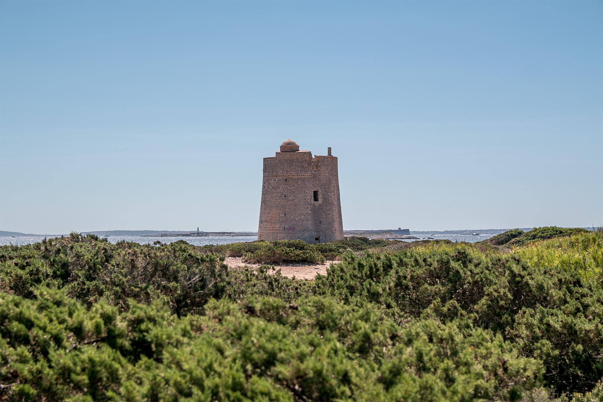
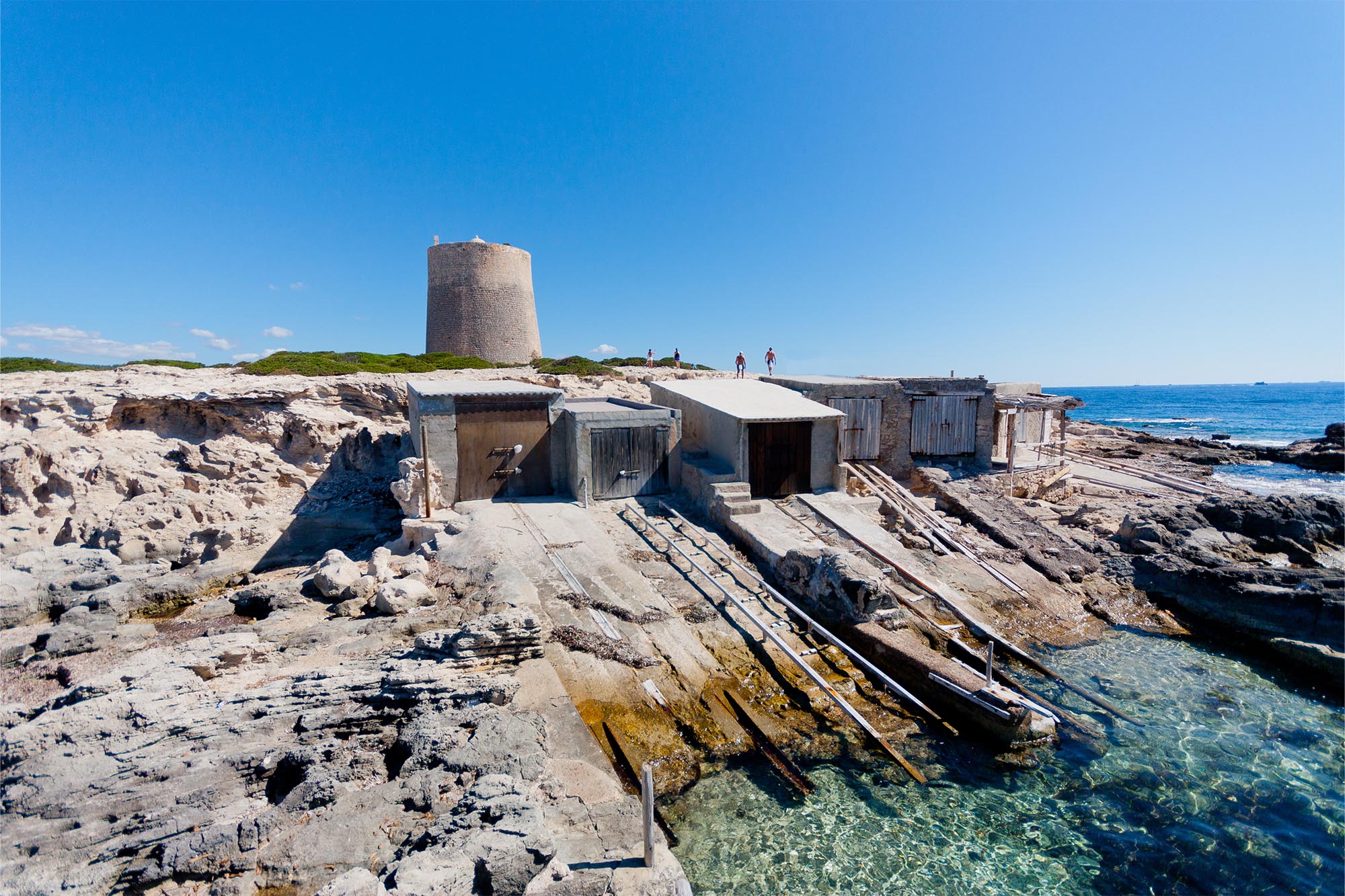
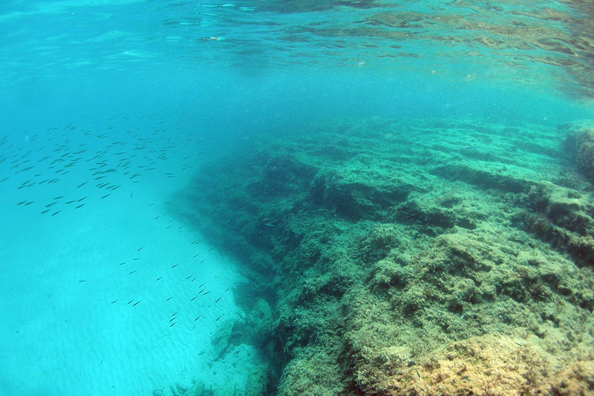
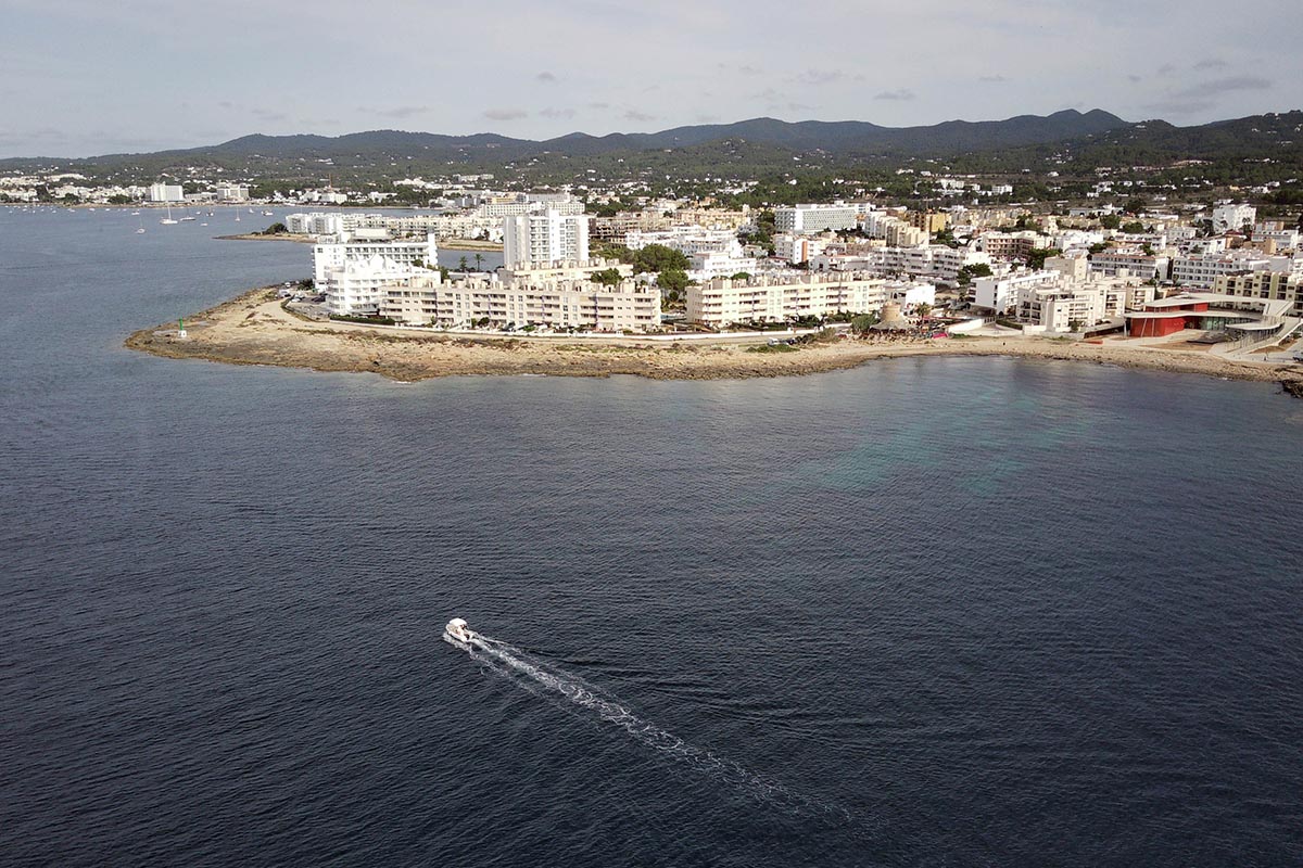
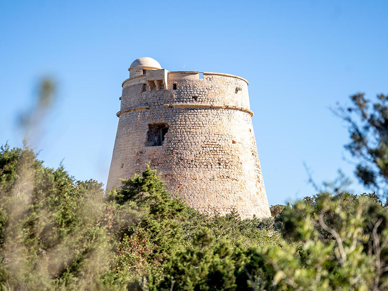
Tower of sa Sal Rossa and view of Platja d’en Bossa
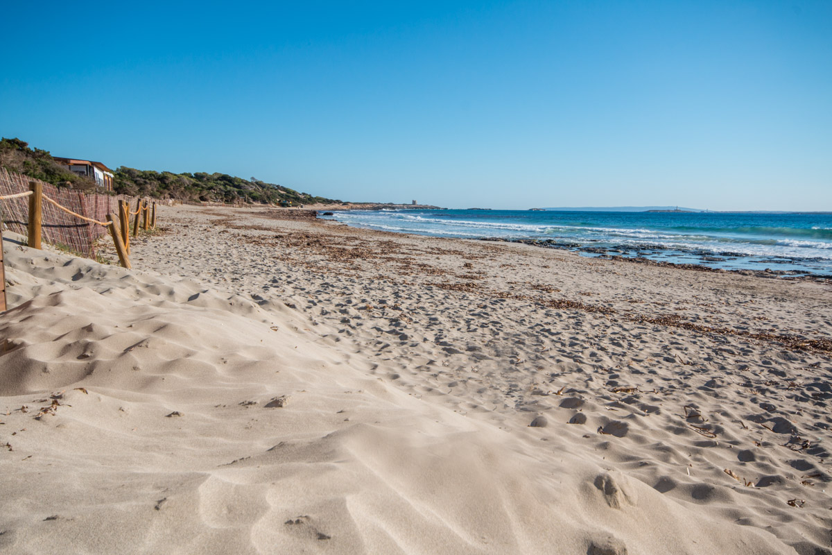
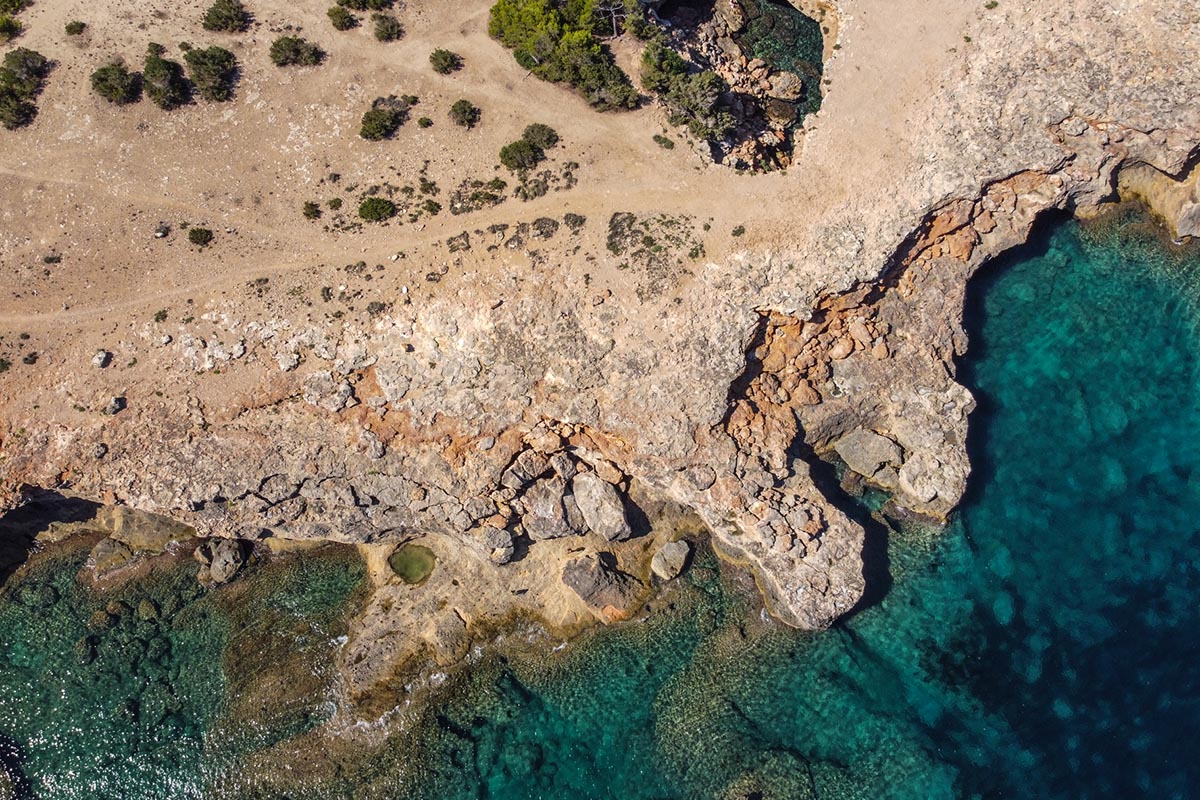
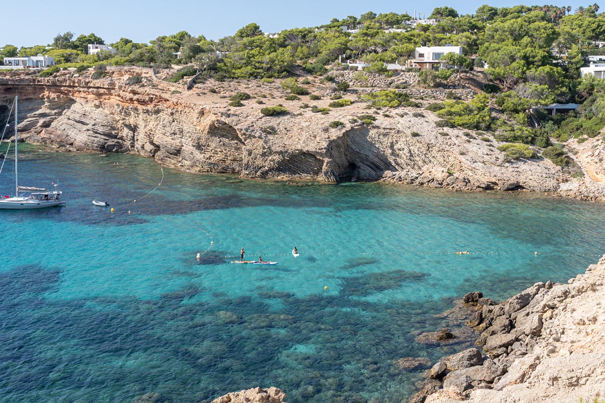
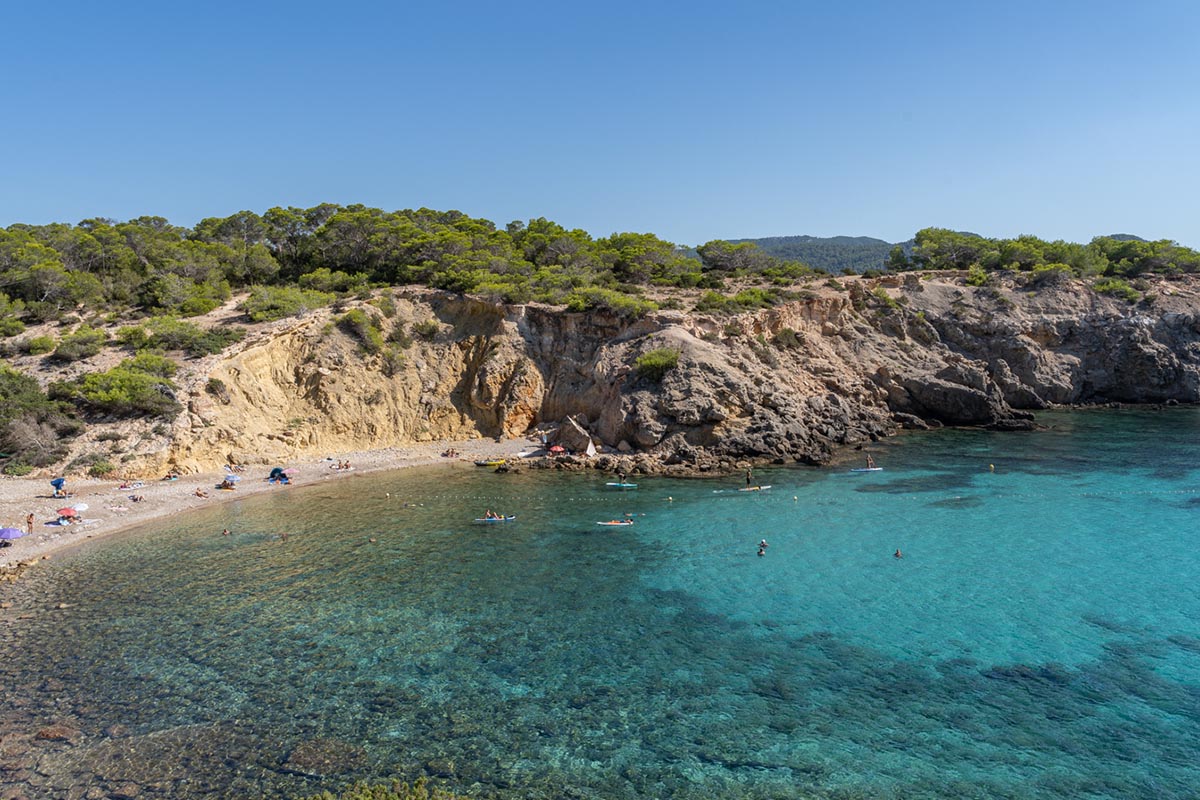
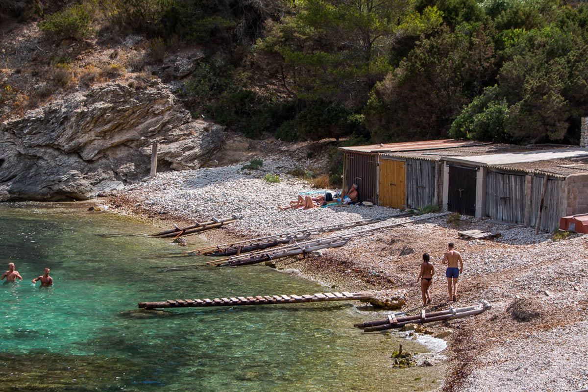
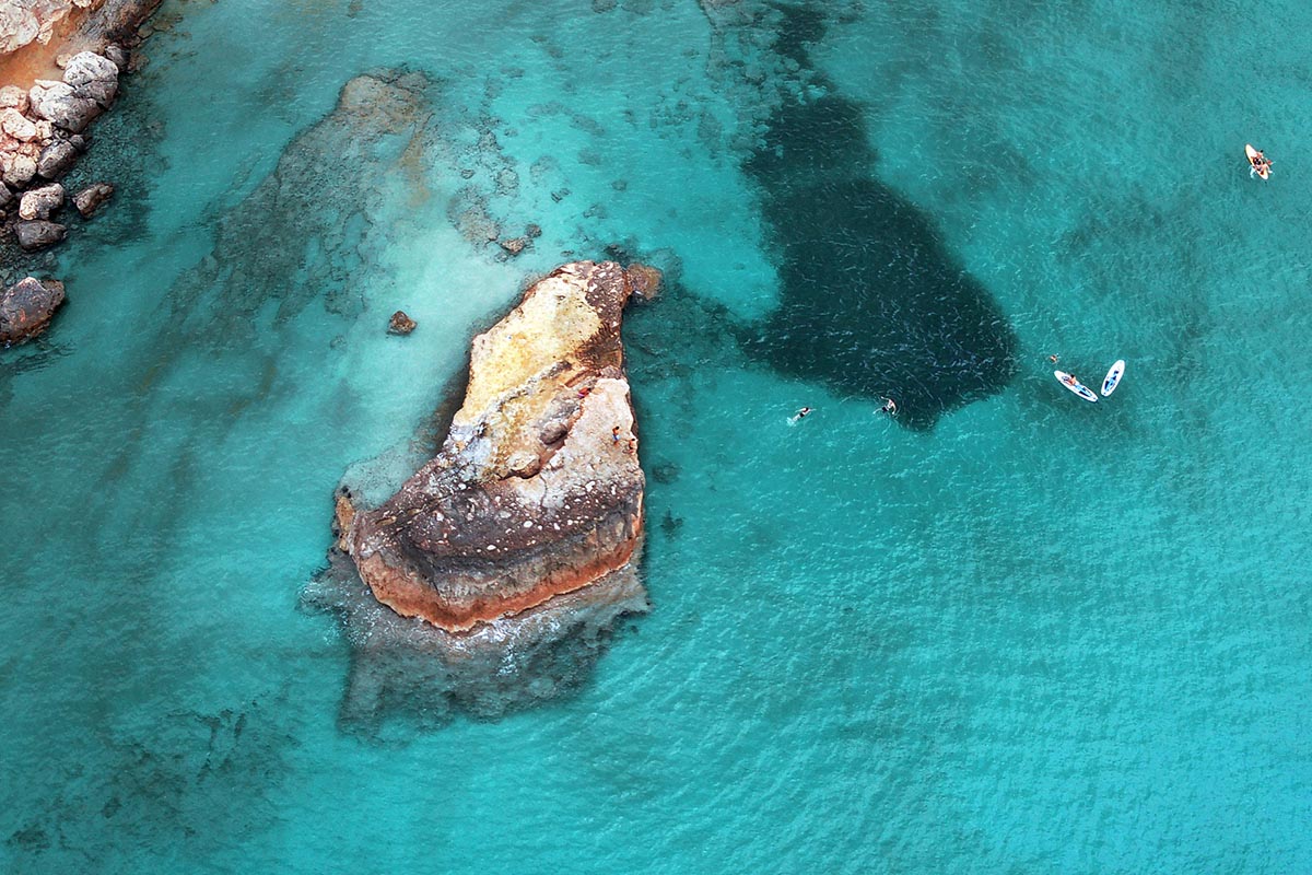
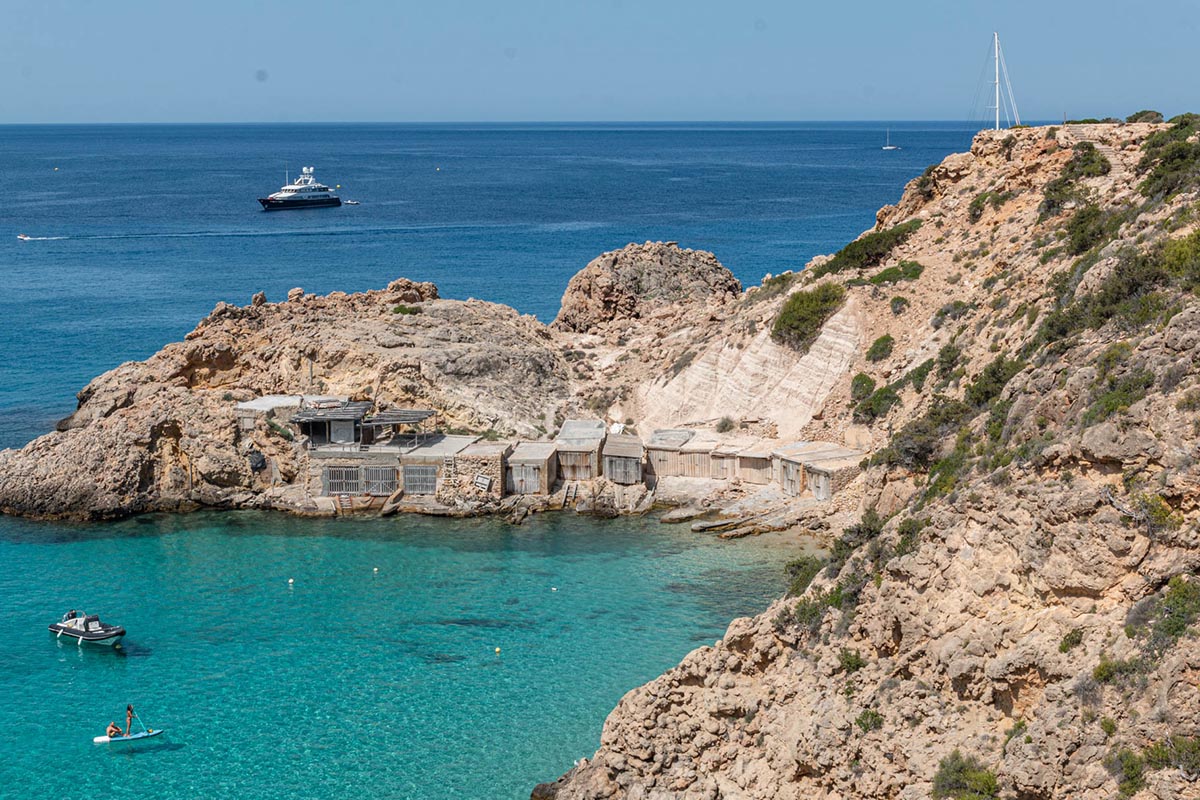
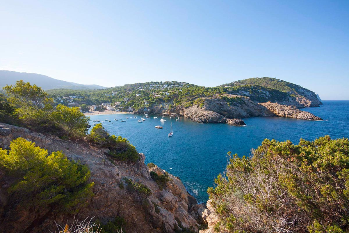
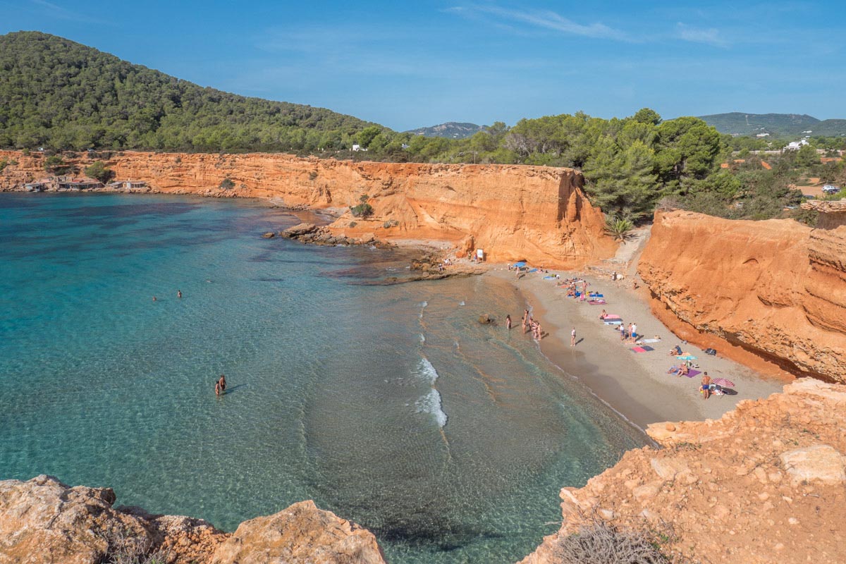
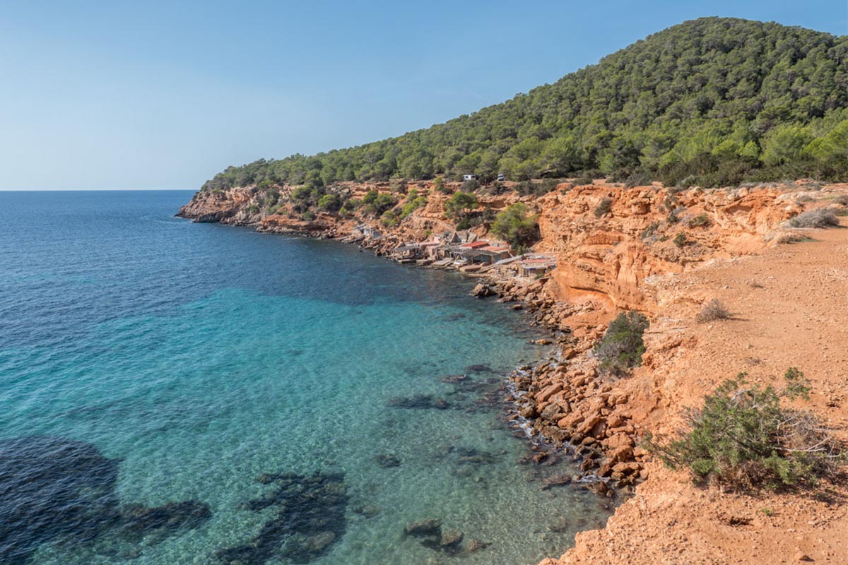
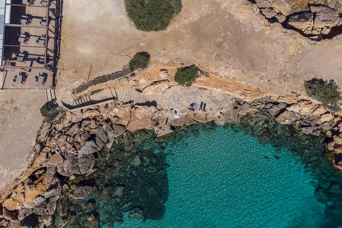
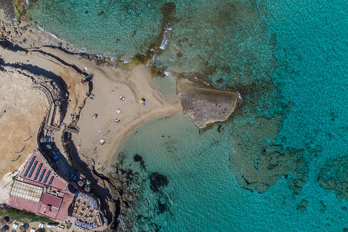
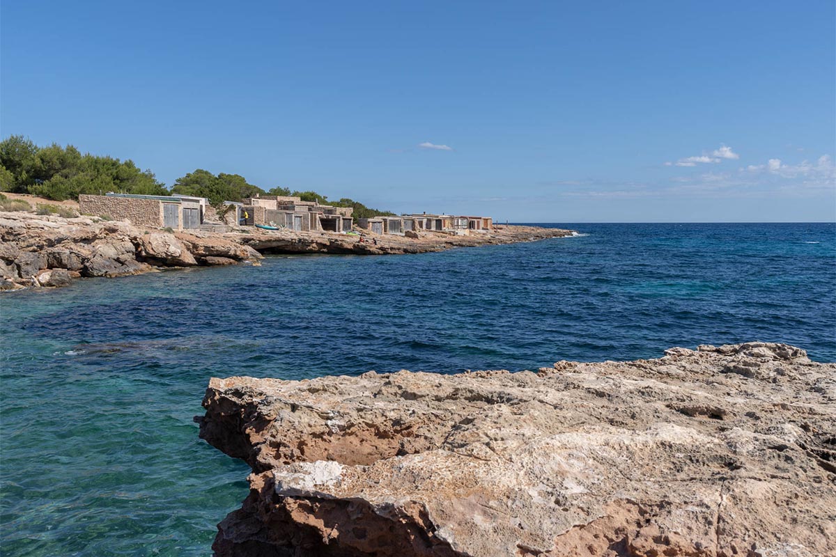
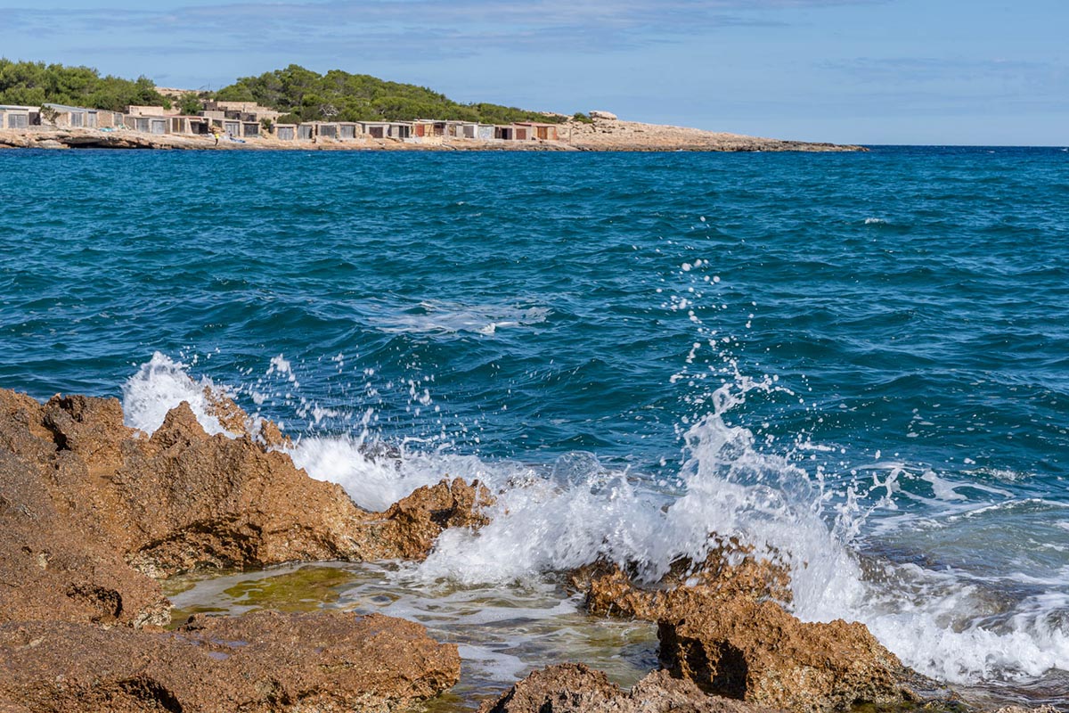
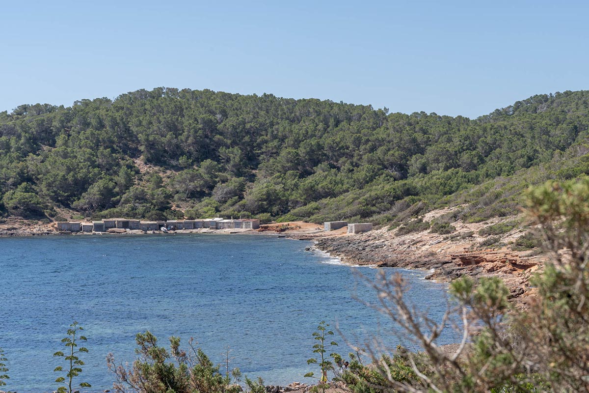
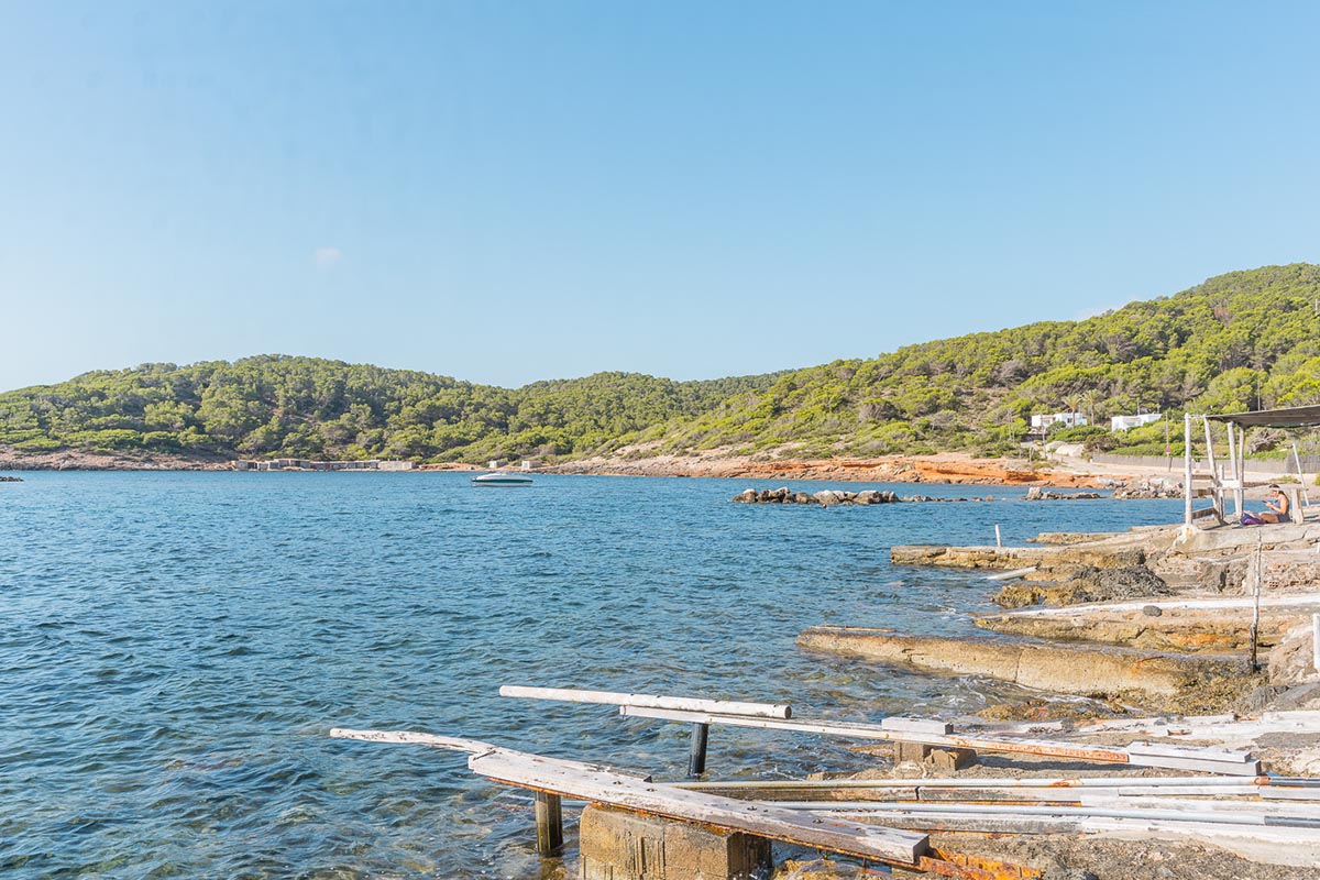
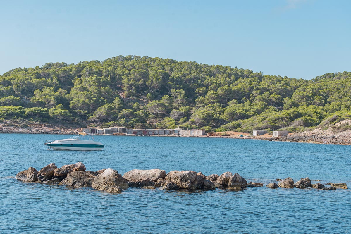
A little further on, you will come to the watch tower of Sal Rossa, which is one of the coastal fortifications build in the 18th century to protect the Pityusic islands which were frequently beset by pirates and marauding Berbers. The tower rises on a promontory which separates the spacious sands of the d’en Bossa Beach from a little cove known as la Xanga.
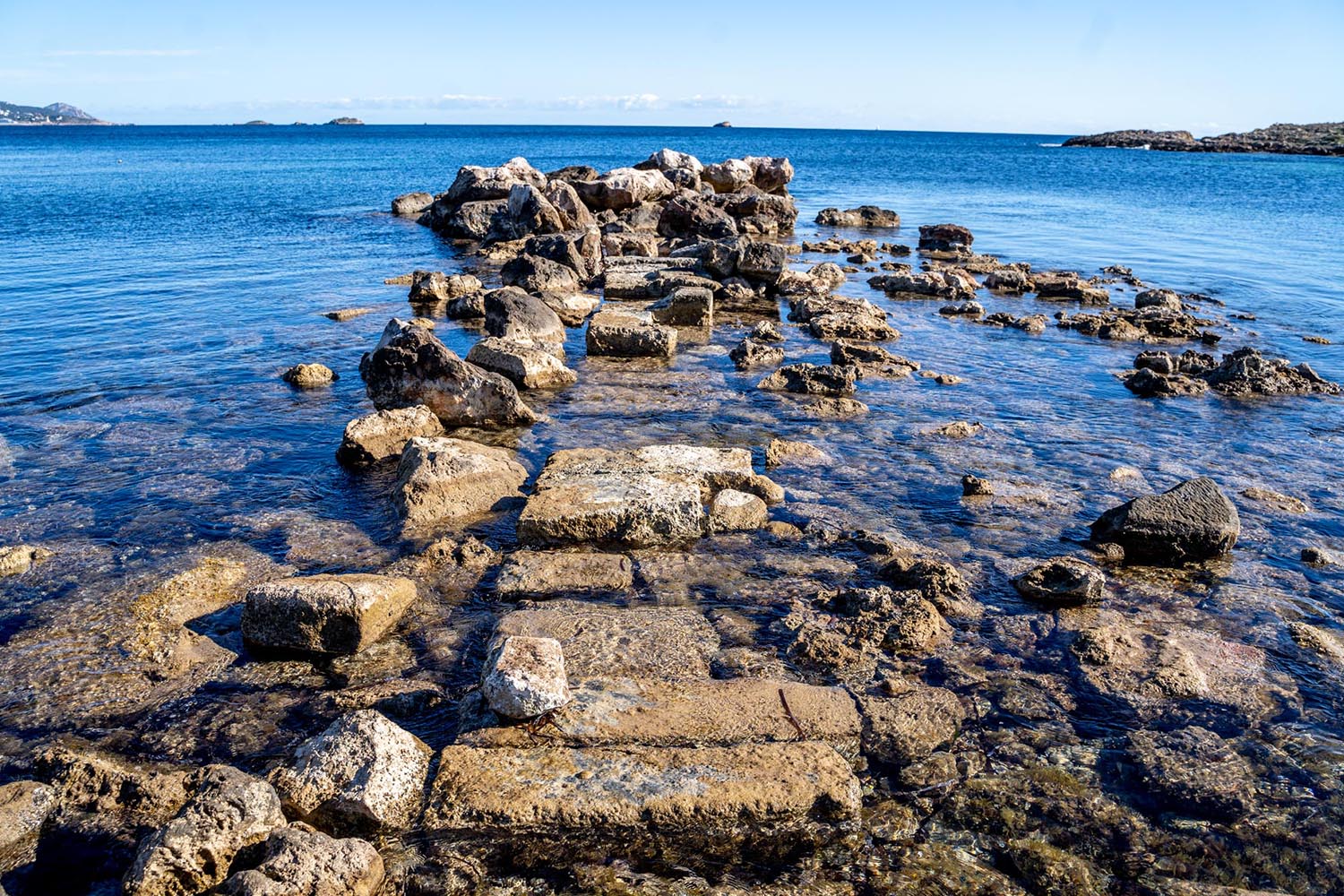
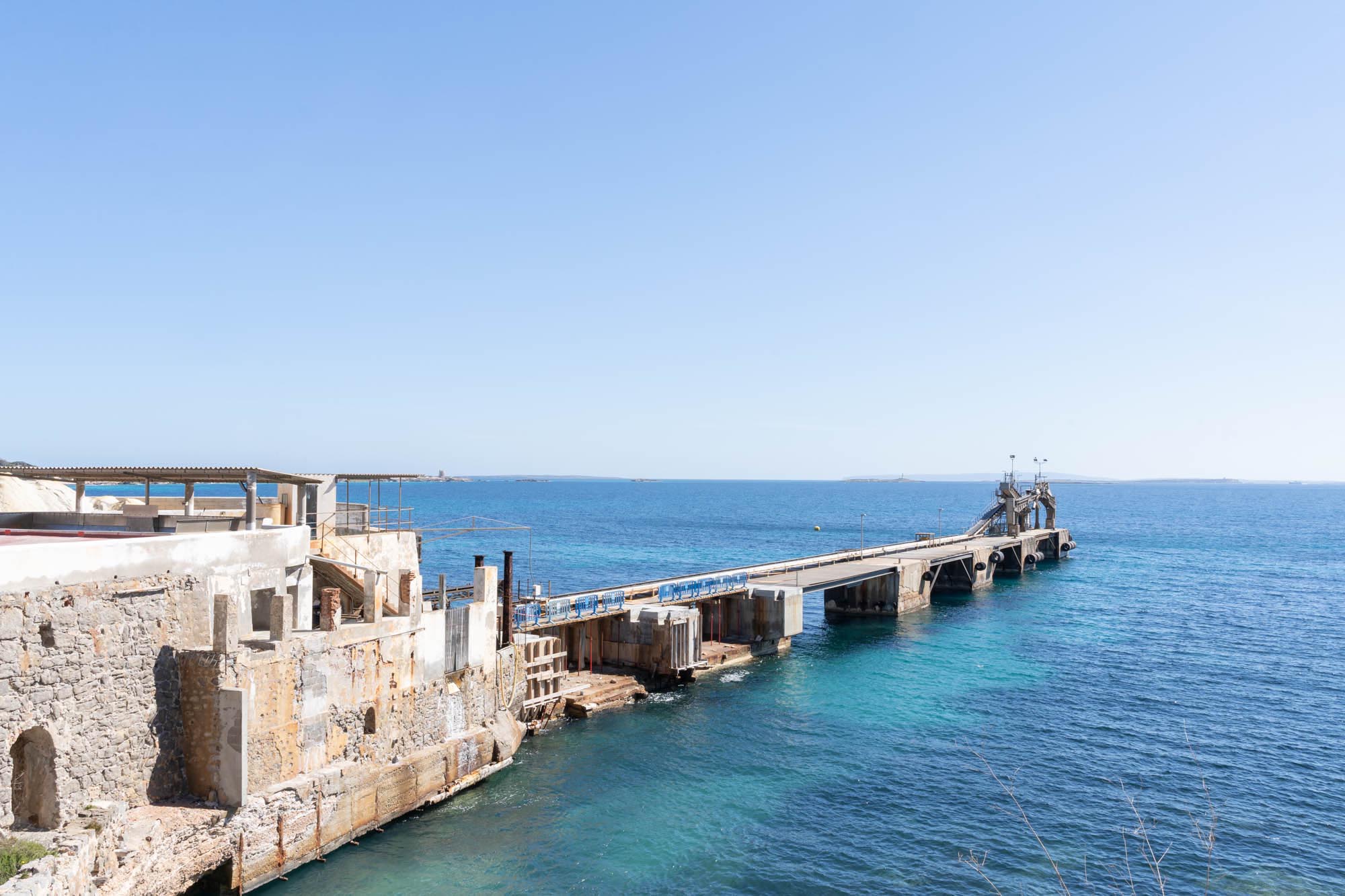
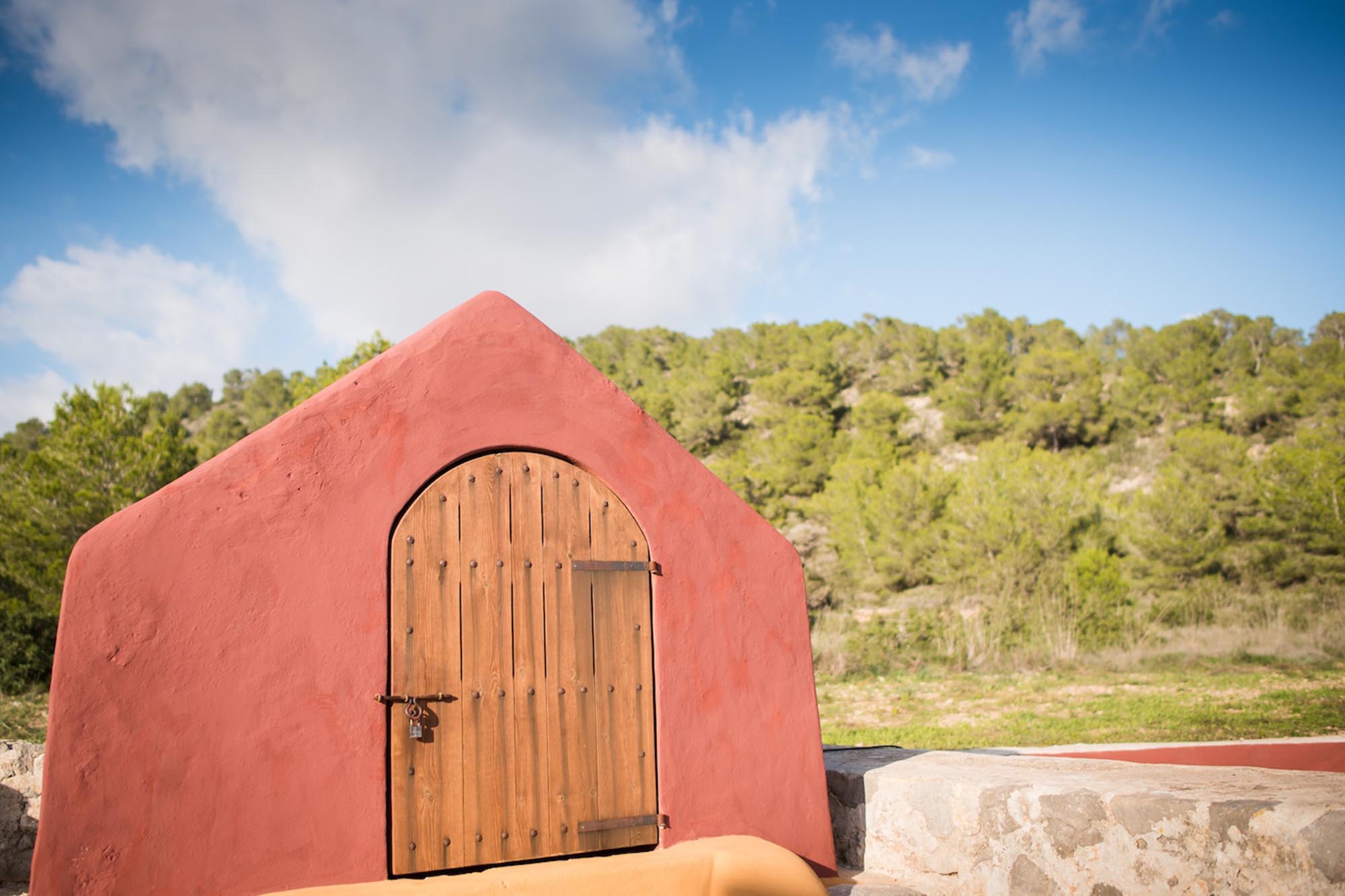
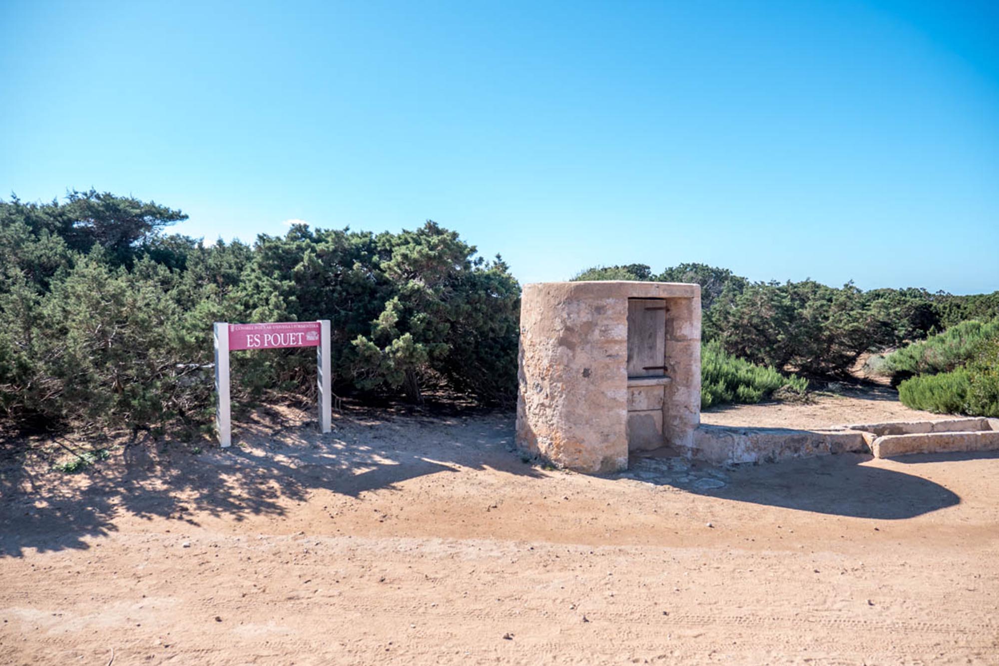
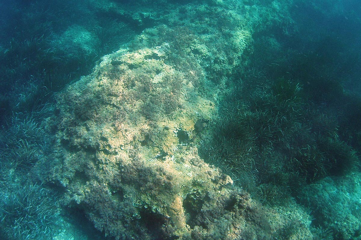
This sandy cove was once an important economic centre for the Phoenicians. During Roman times murex snails were extracted from its waters, as their shells were ground and used to make a highly valued purple dye. And in the 16th century, a large commercial dock was built on the rocks of this cove, which was the first to be used uniquely for the salt trade that had begun during the Carthaginian-Phoenician period. In addition, an almadraba, a place for trapping and catching tuna, was installed, which, following capture, was processed and preserved in salt in the facilities built there for this purpose. To this day, vestiges of this ancient production are still visible. In fact, some 250 m² of this ancient saline manufacturing factory has been recovered, along with a section of its cobbled access, and today walkers can gain some idea of the busy manufacturing processes that once proliferated in this area. The original aljibes or cisterns are preserved to this day, where fresh water was stored, and which take you back to another time when the area’s natural resources provided the main basis for trade.

You can see the full map of the route here