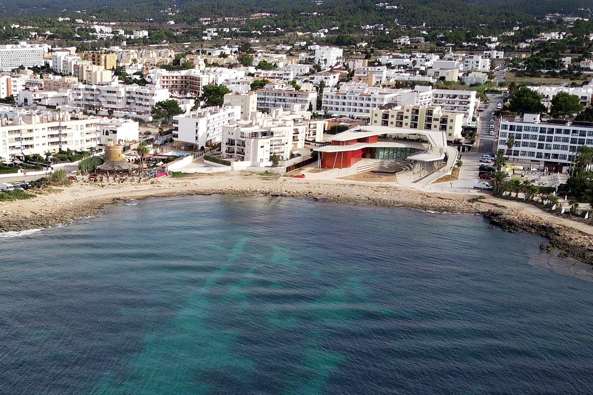

Ibiza Extrem (Sant Josep) – Ibiza
Mountain Bike routes
To cover an 82 km journey on a bicycle along roads does not appear a big problem for someone who has a certain level of fitness and who is accustomed to pedalling. In the case of the mountain bike, it represents a tough journey on two wheels, as is the case with this route. It is a journey so tough it has been dubbed ‘legbreaker’ by people who have done it. There is a reason why only one-third of those who start it reach the end.
We start at Sant Josep, travelling along a gentle stretch towards the first climb to sa Capelleta, a climb where we may struggle to stay on the bike. Next we encounter a rapid descent followed by an ascent to the Sierra de sa Murta where we start going down by a series of paths that are not without a certain technical difficulty.
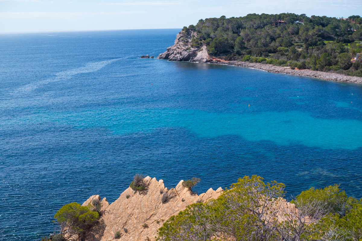
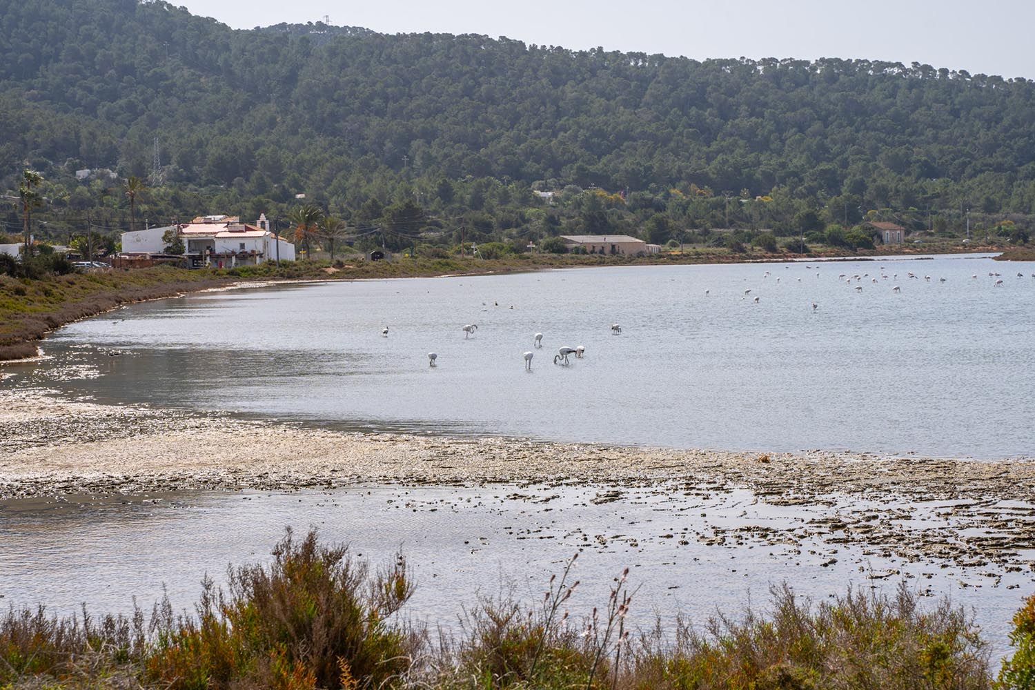
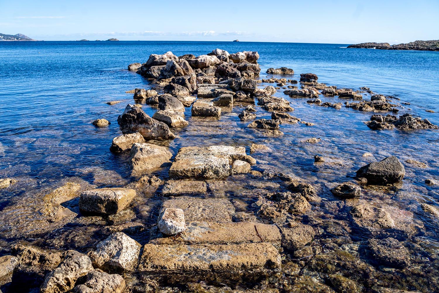
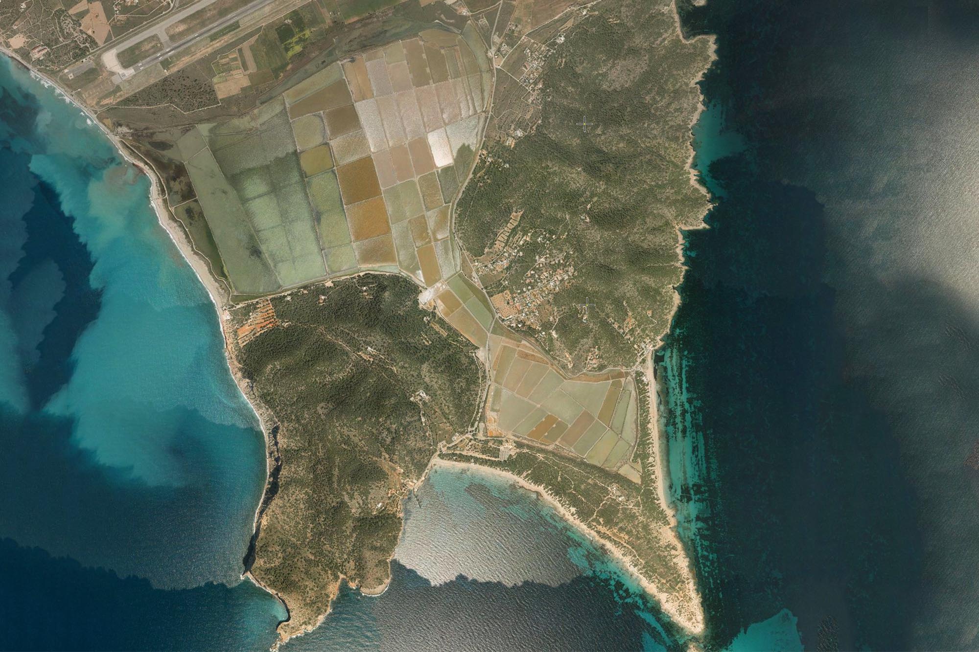
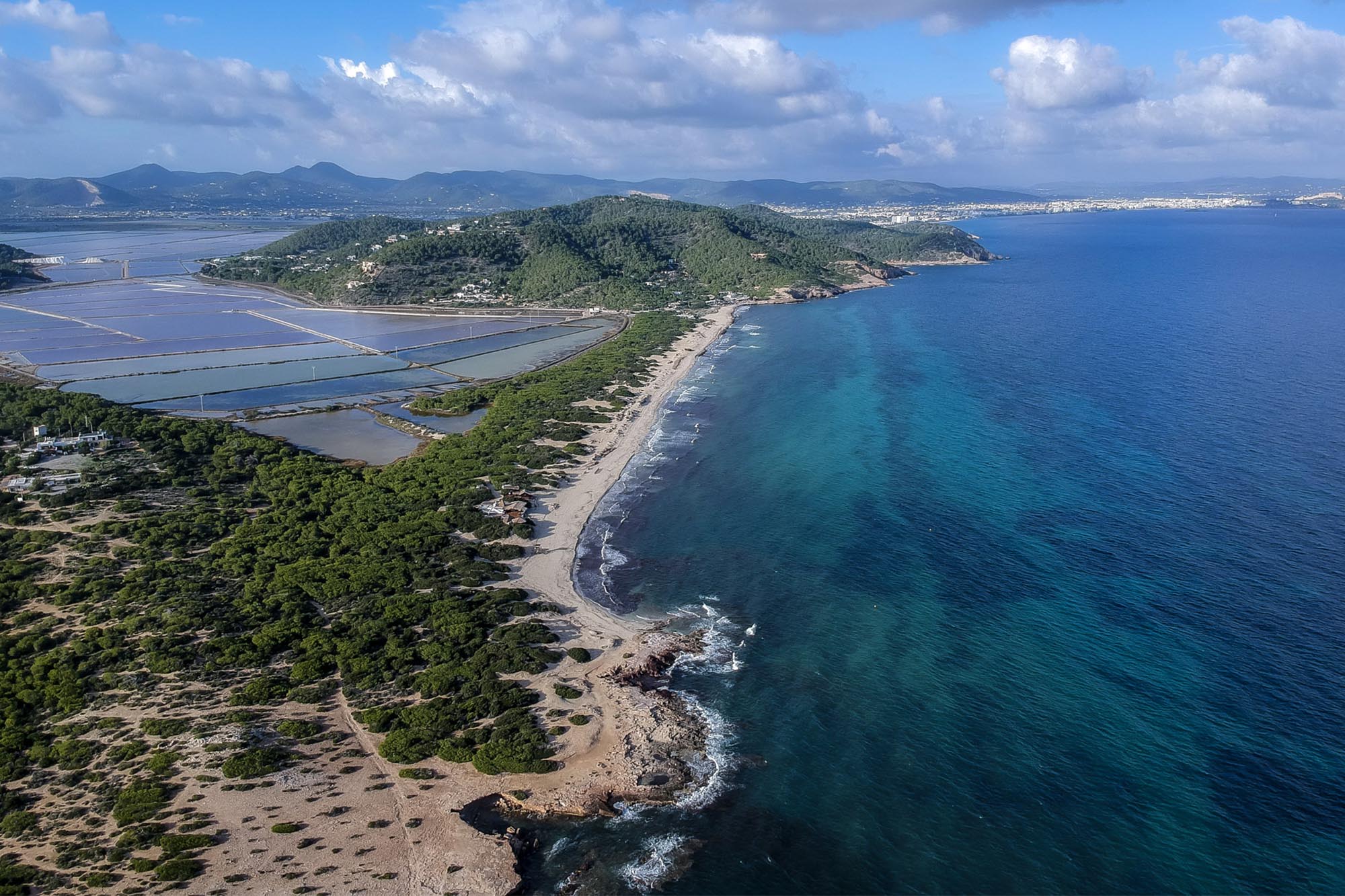
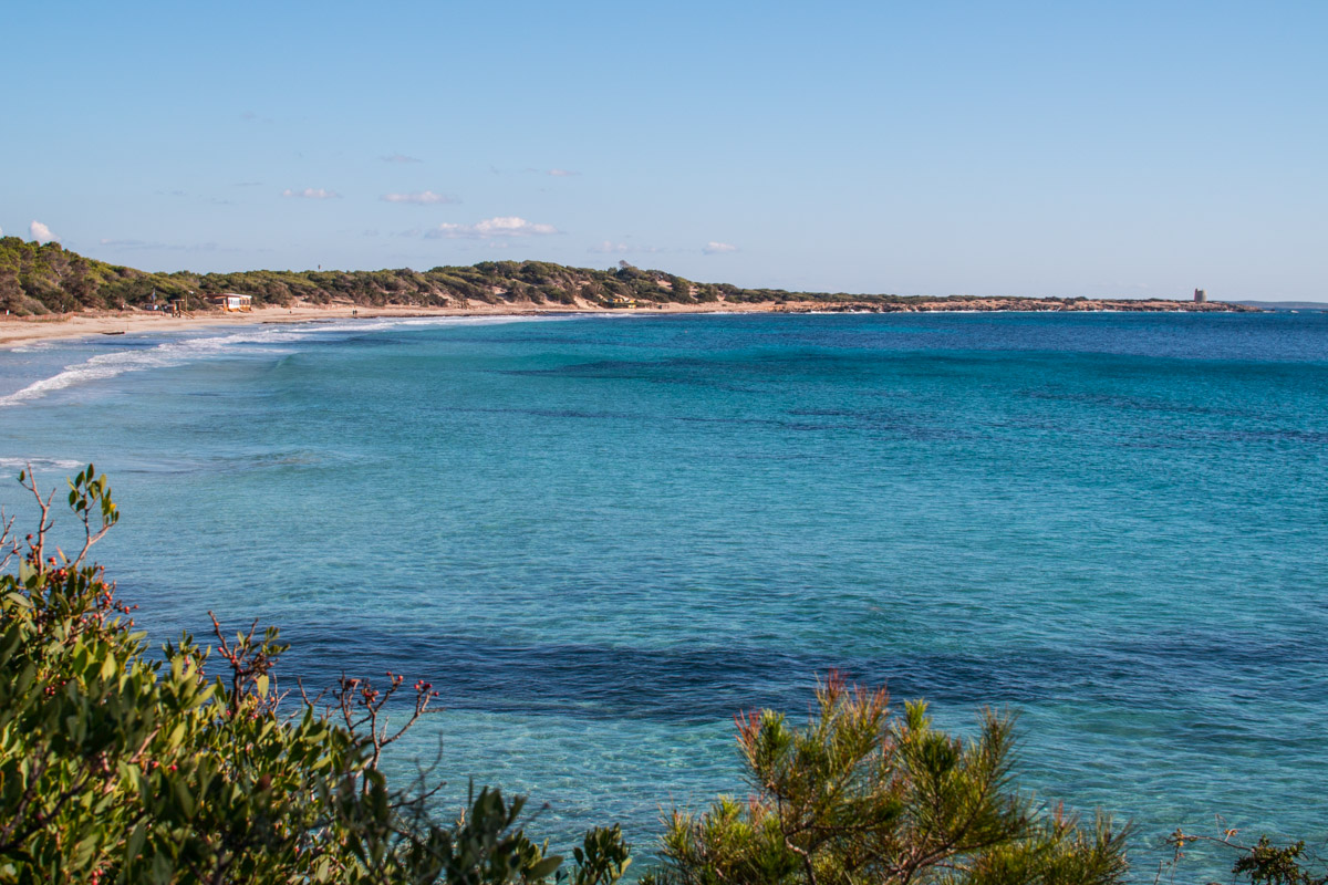
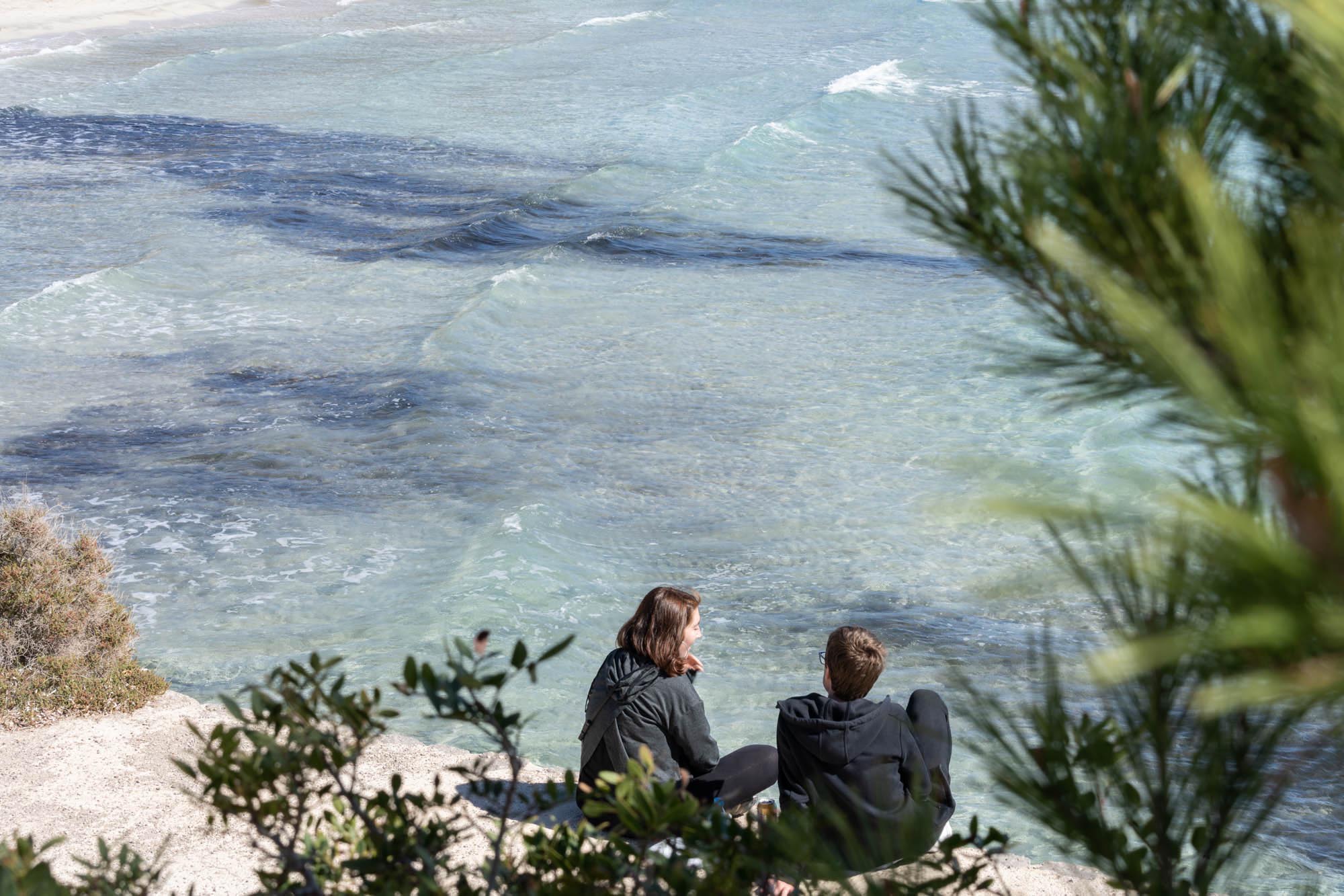
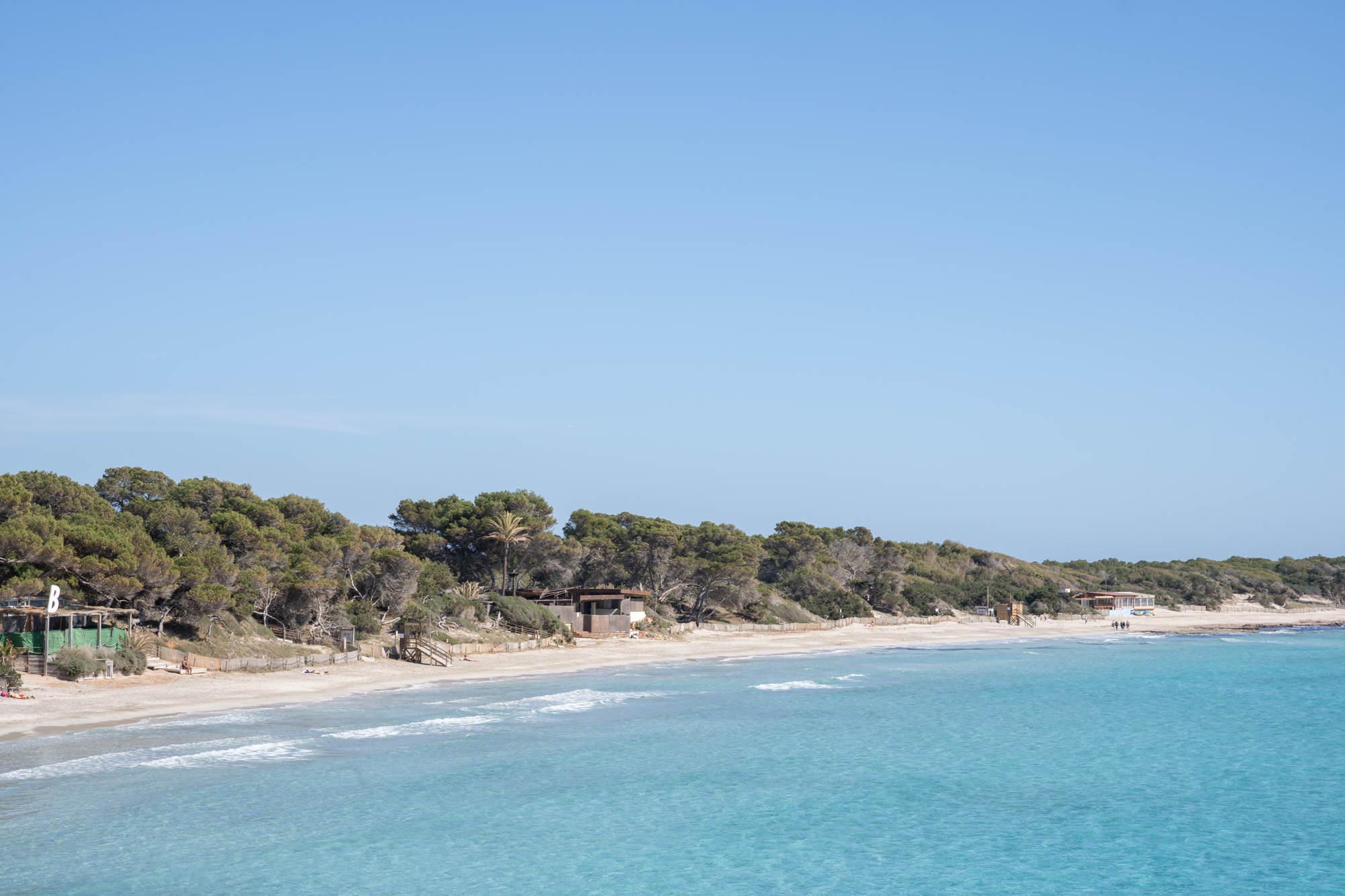
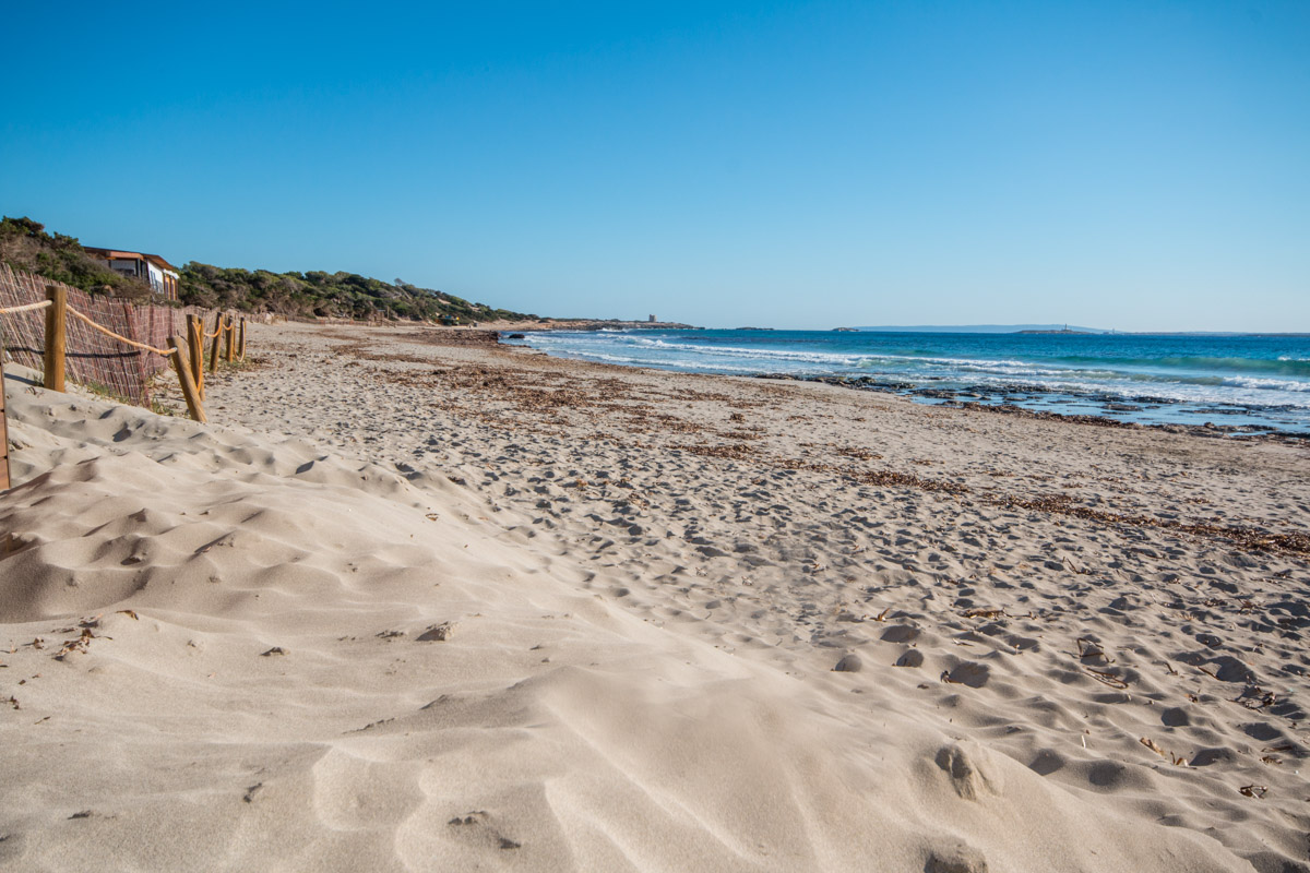
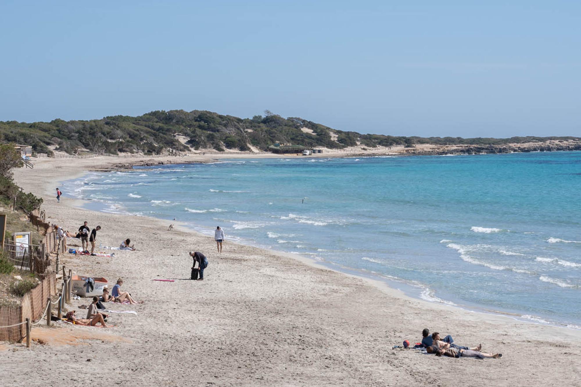
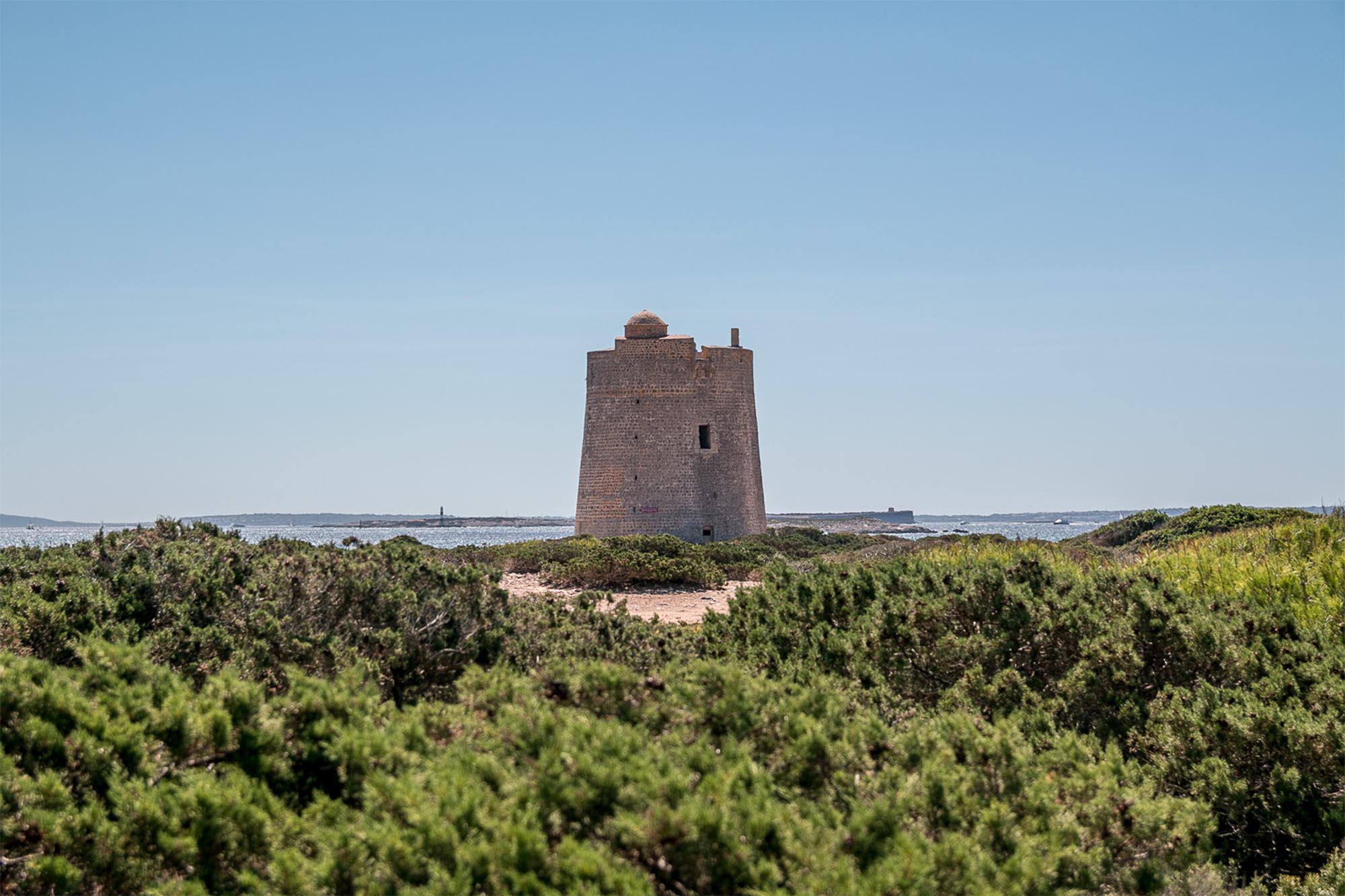
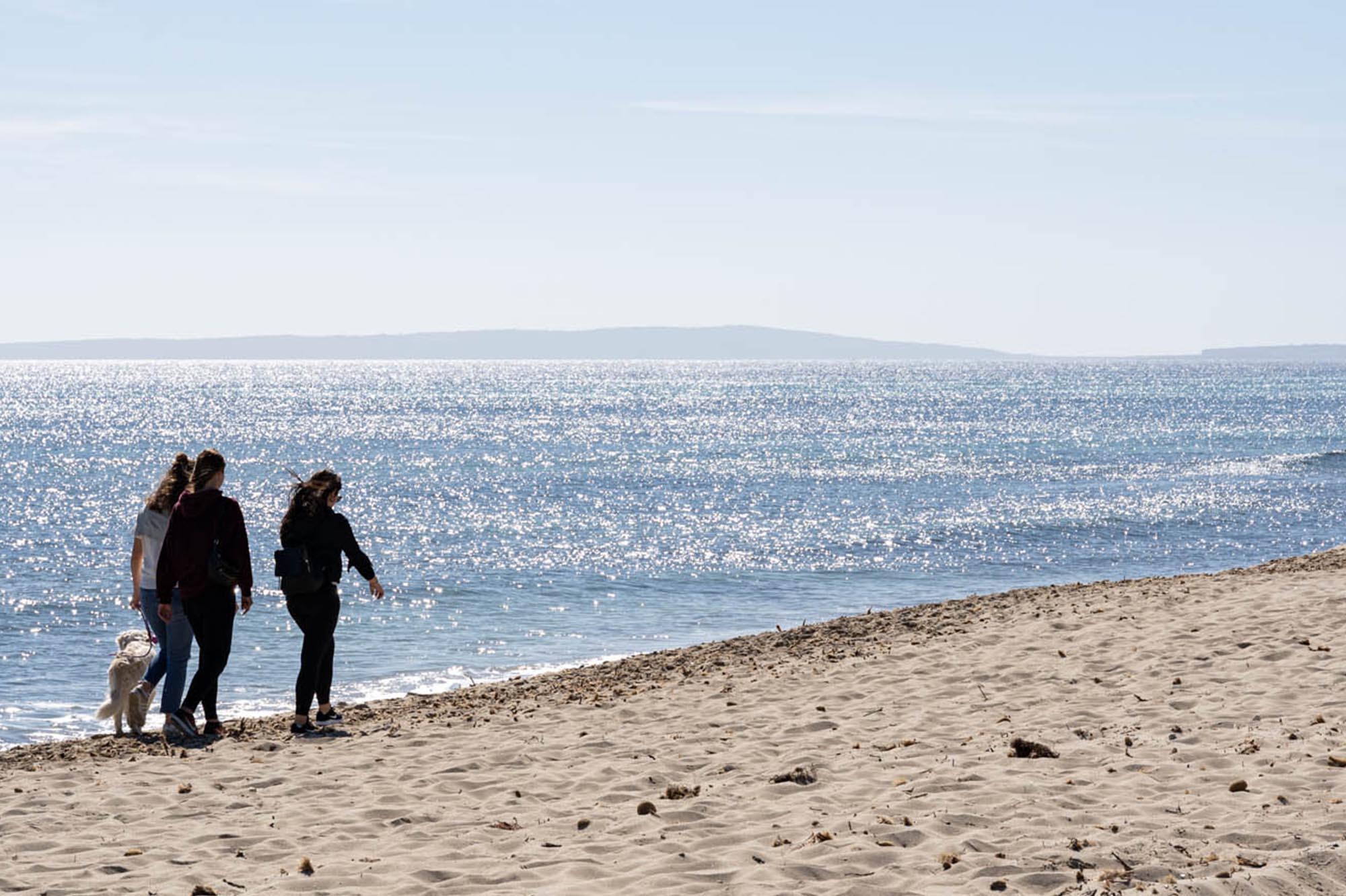
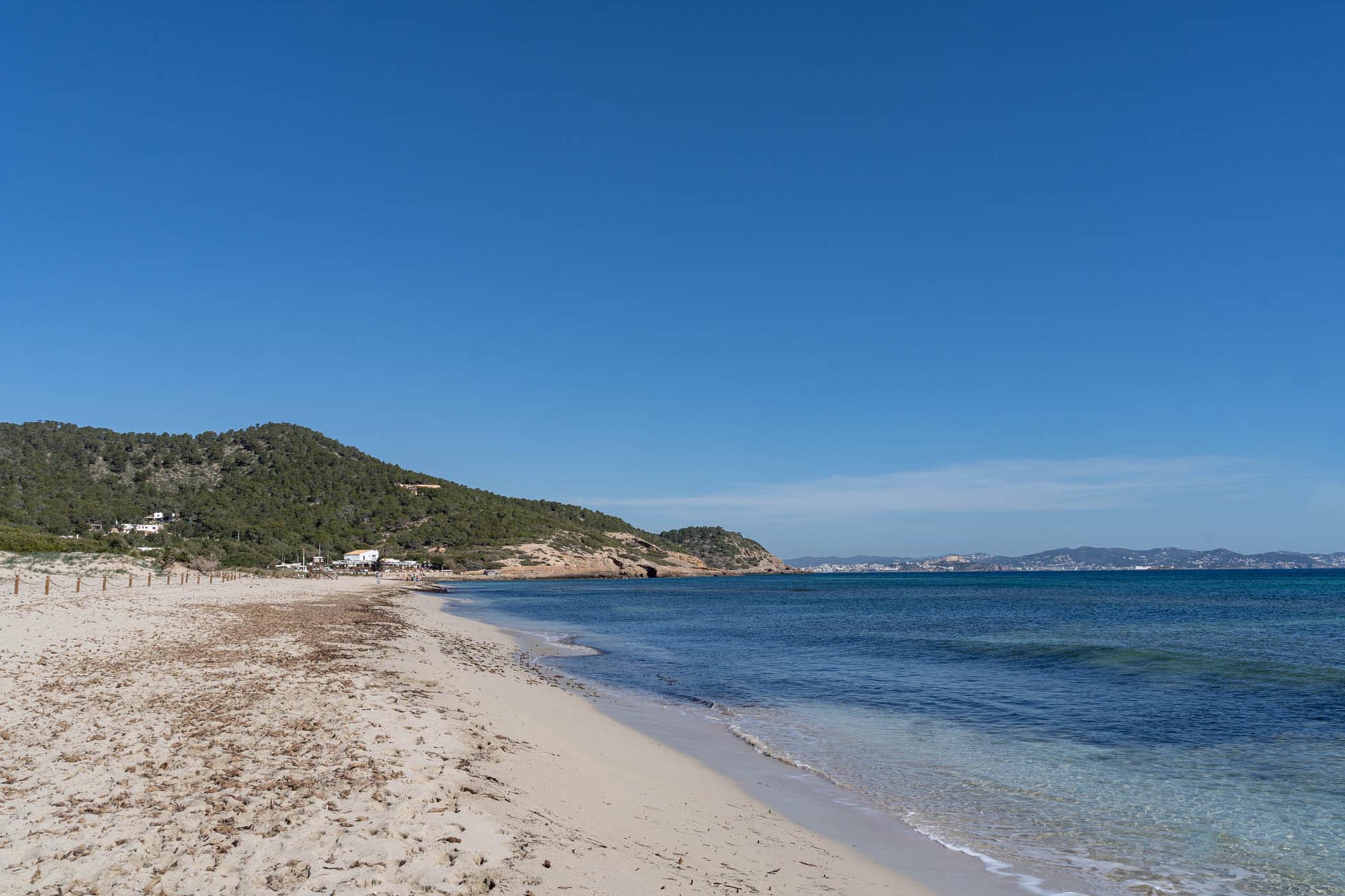
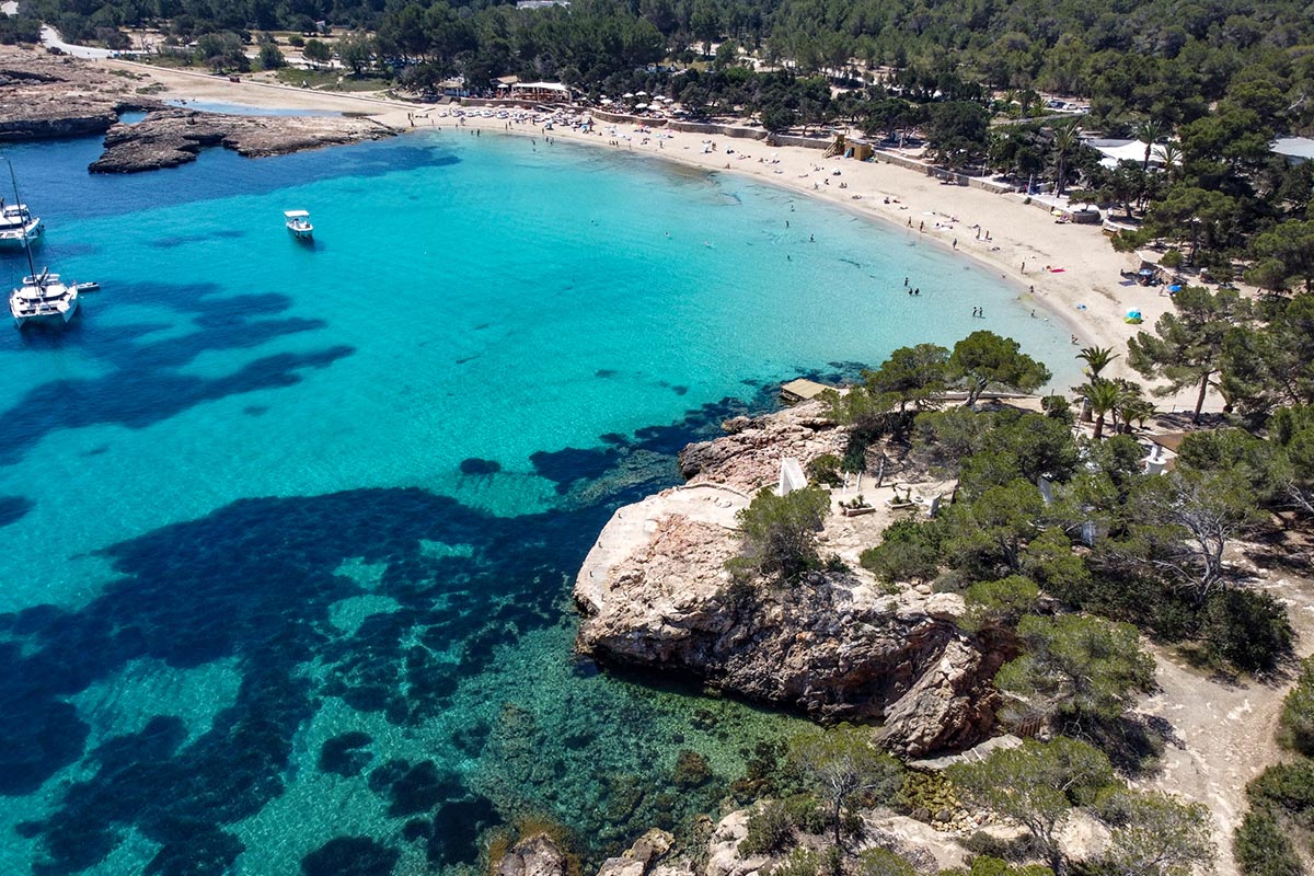
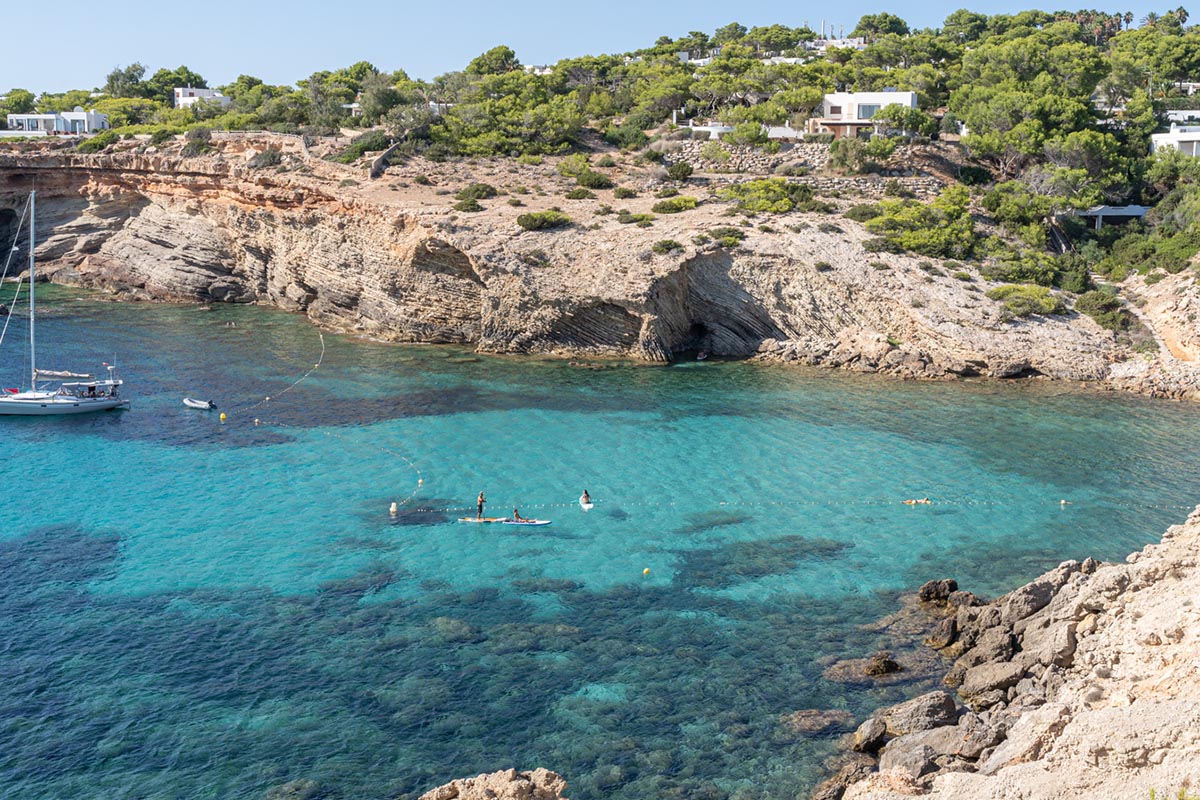
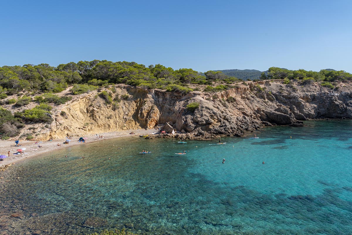
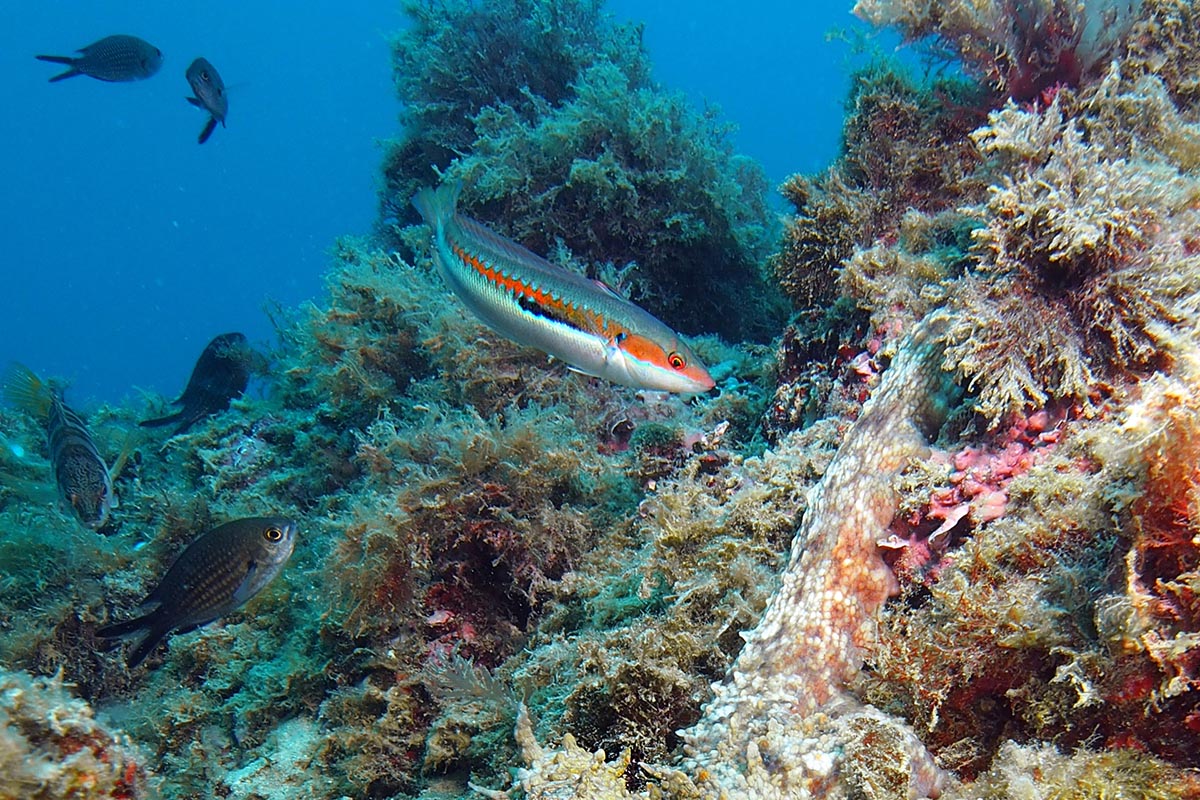
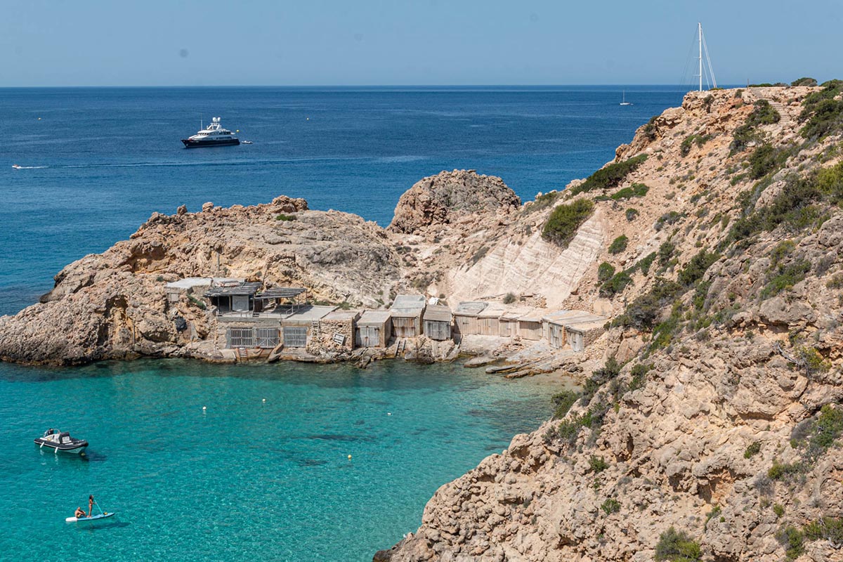
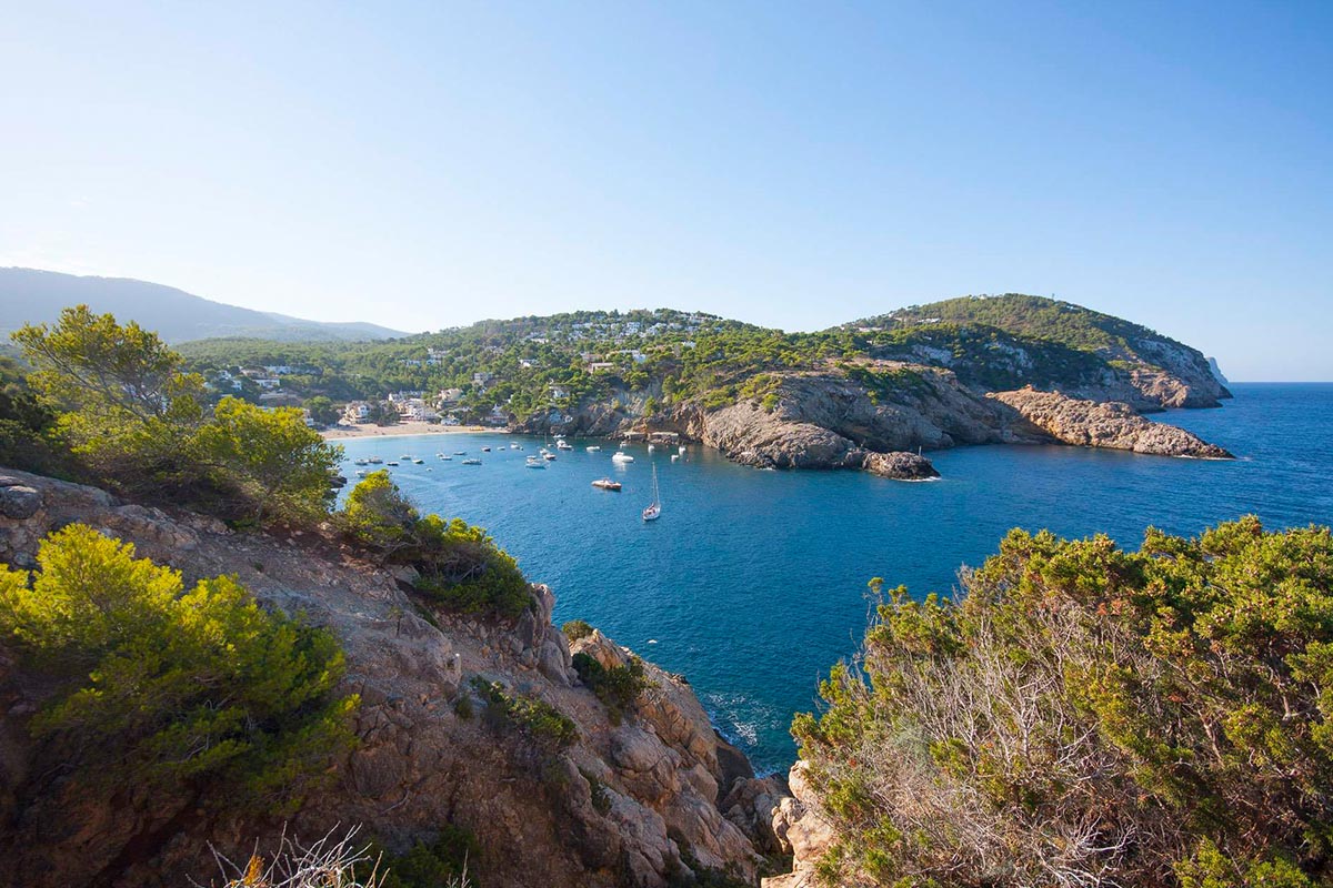
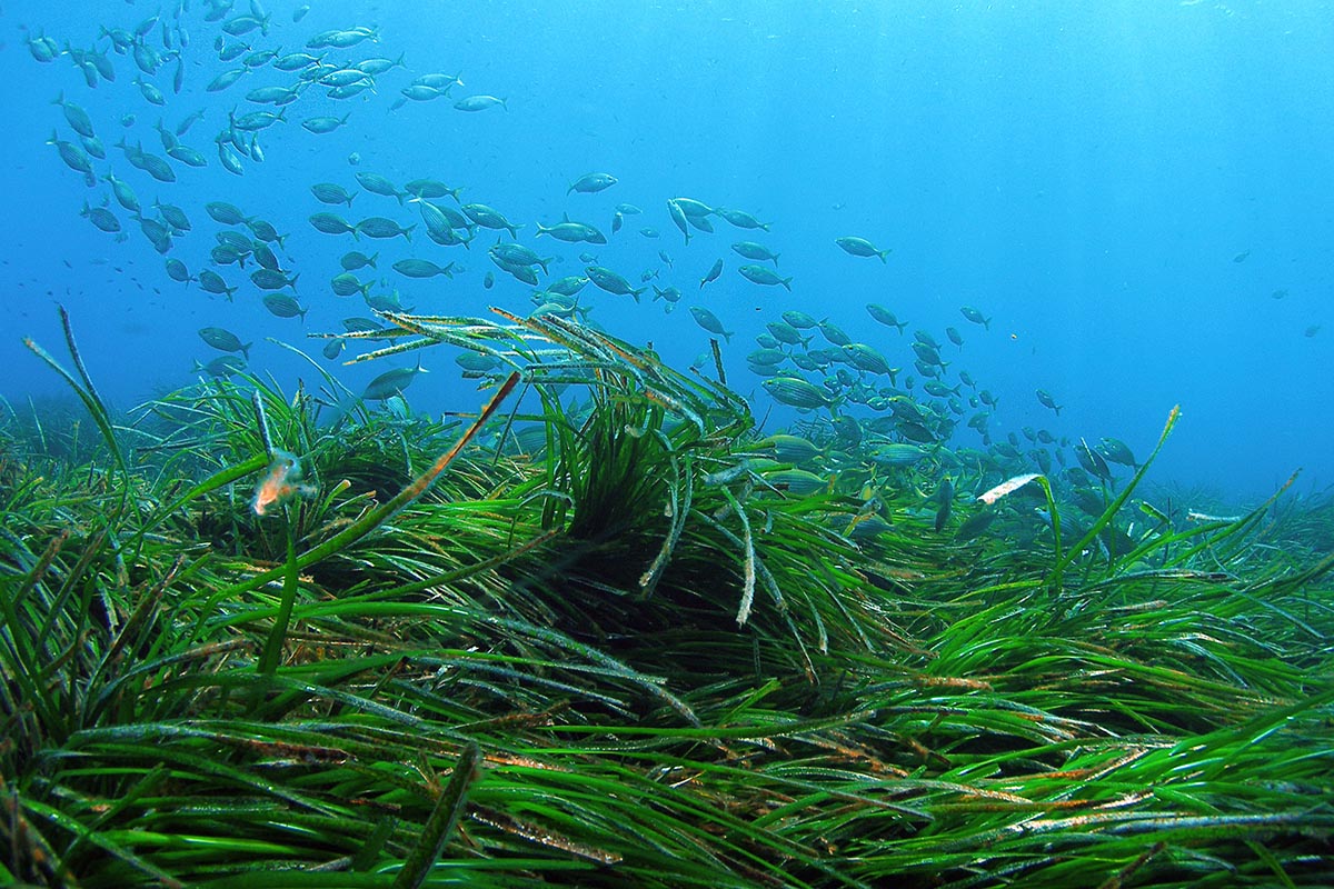
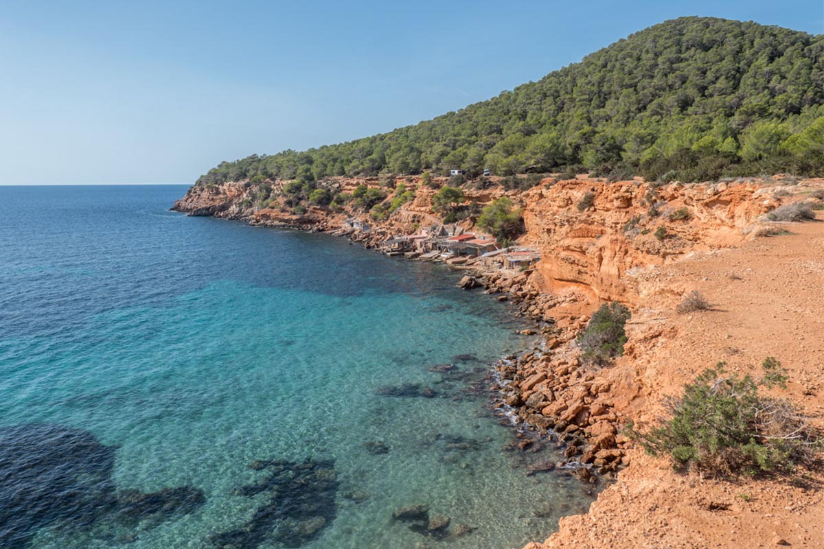
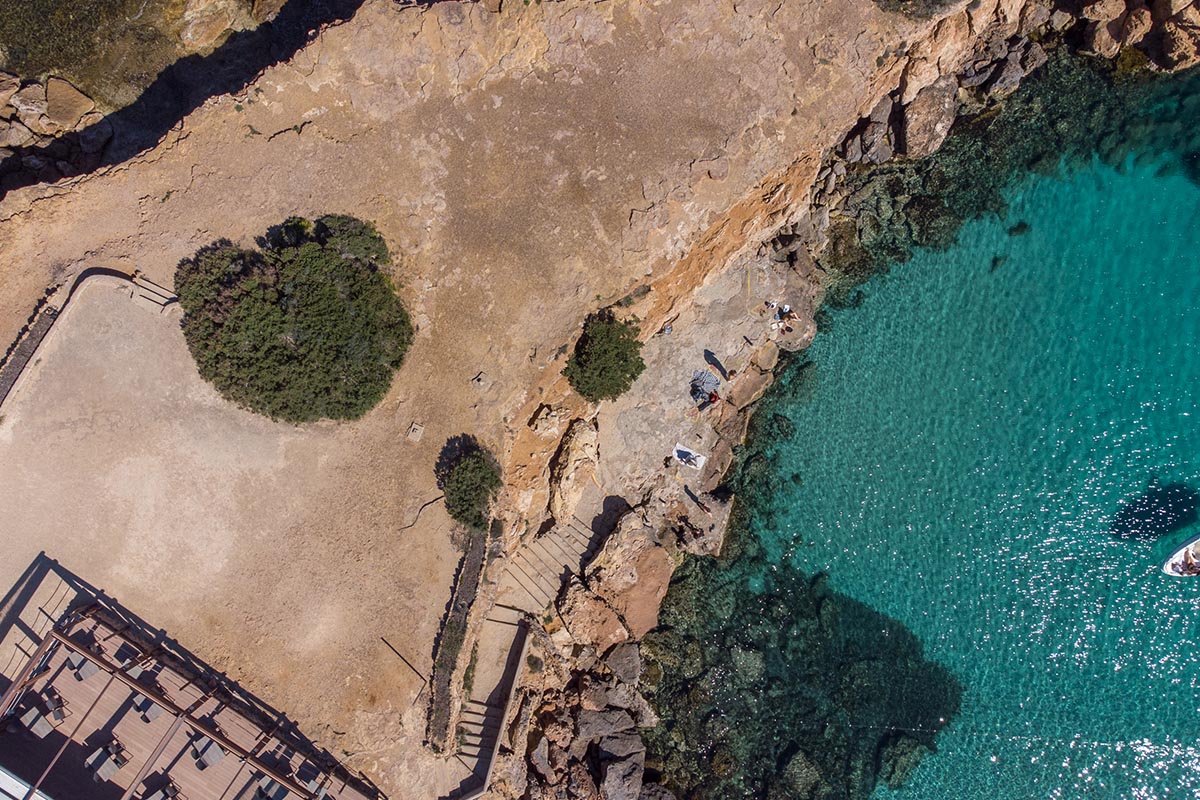
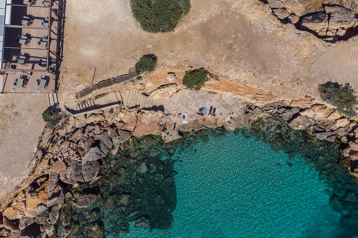
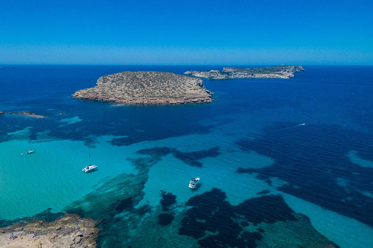
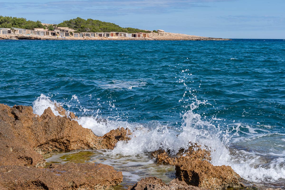
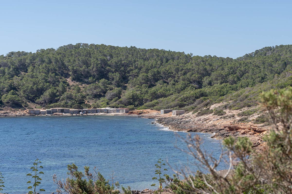
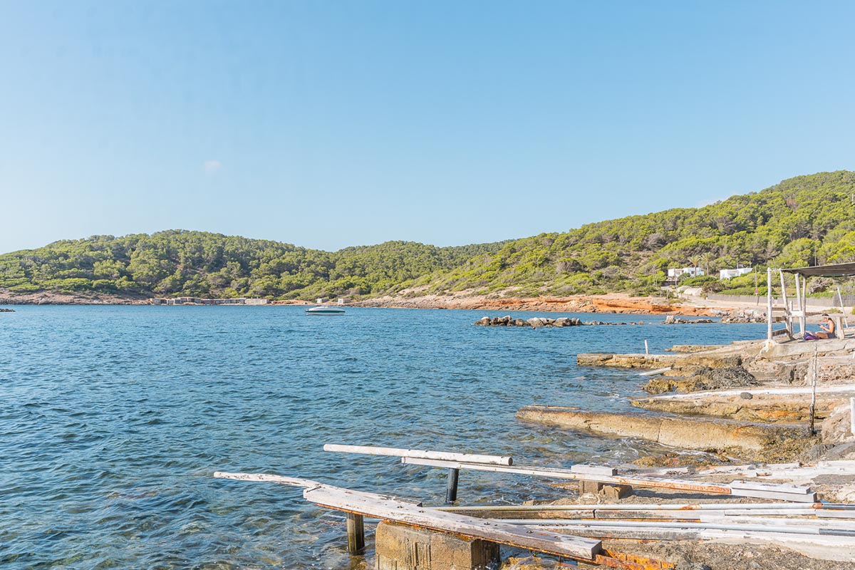
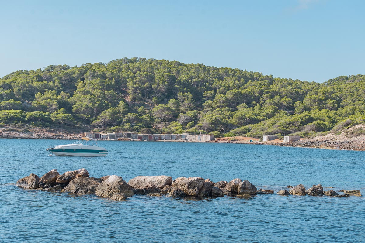
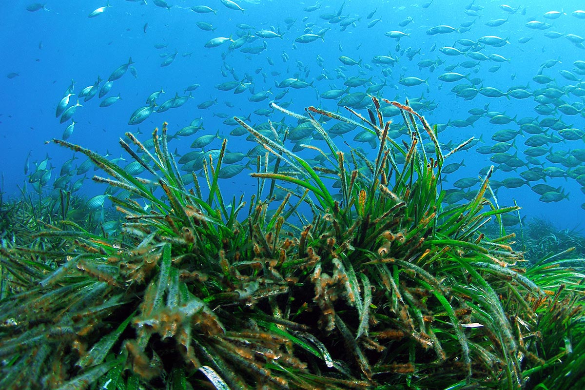
After passing through the neighbourhood of sa Carroca we again climb to sa Capelleta, this time by its east slope. The descent is through Benimussa in order to climb the other stretch of sa Capelleta, this time by its north side. From here we begin the descent to cala Jondal along a series of tracks and paths among pines and junipers, and then pass through the village of es Cubells where we start going around the cliff. At this point of the route we pay maximum attention given that we travel along a path bordering the sea.
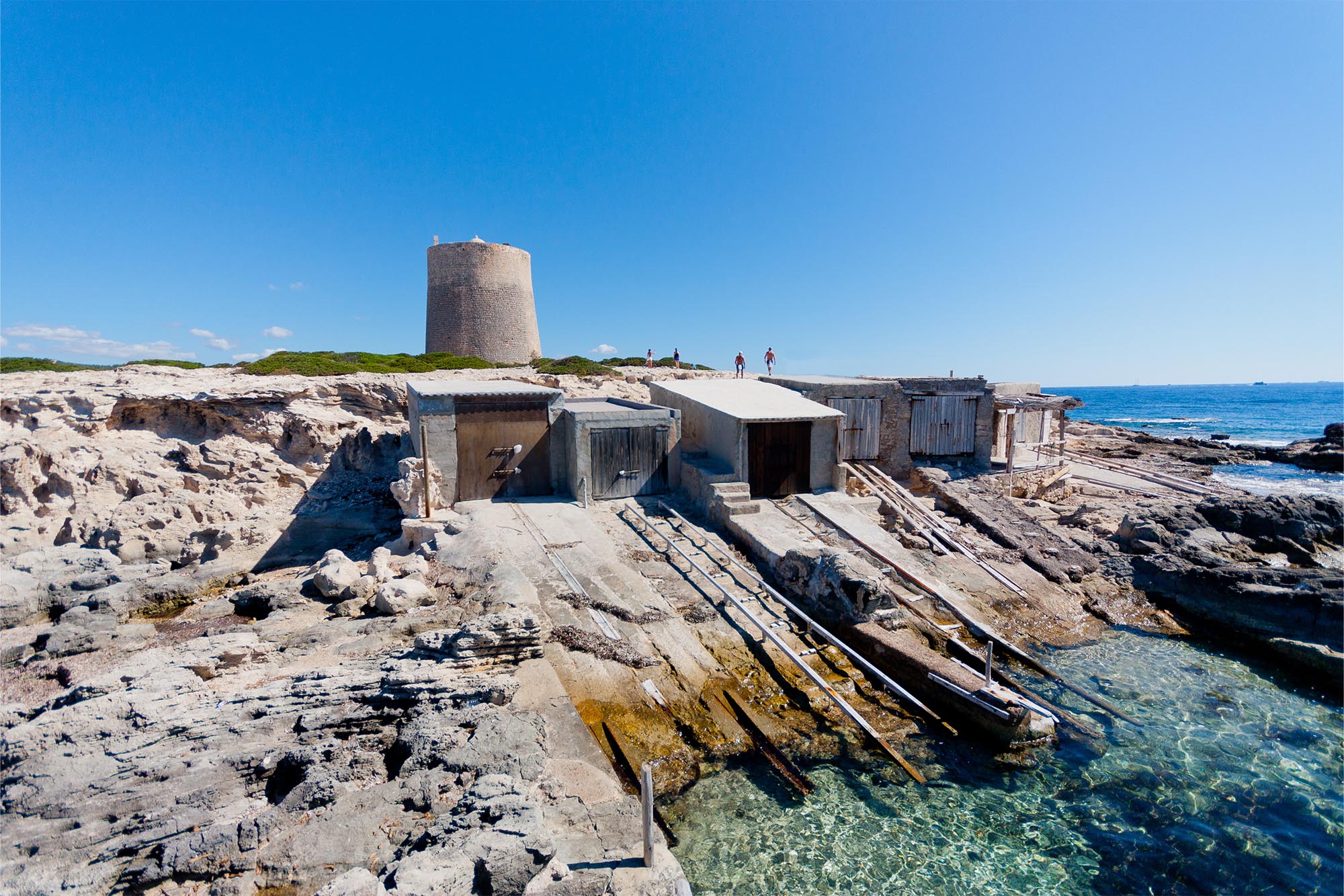
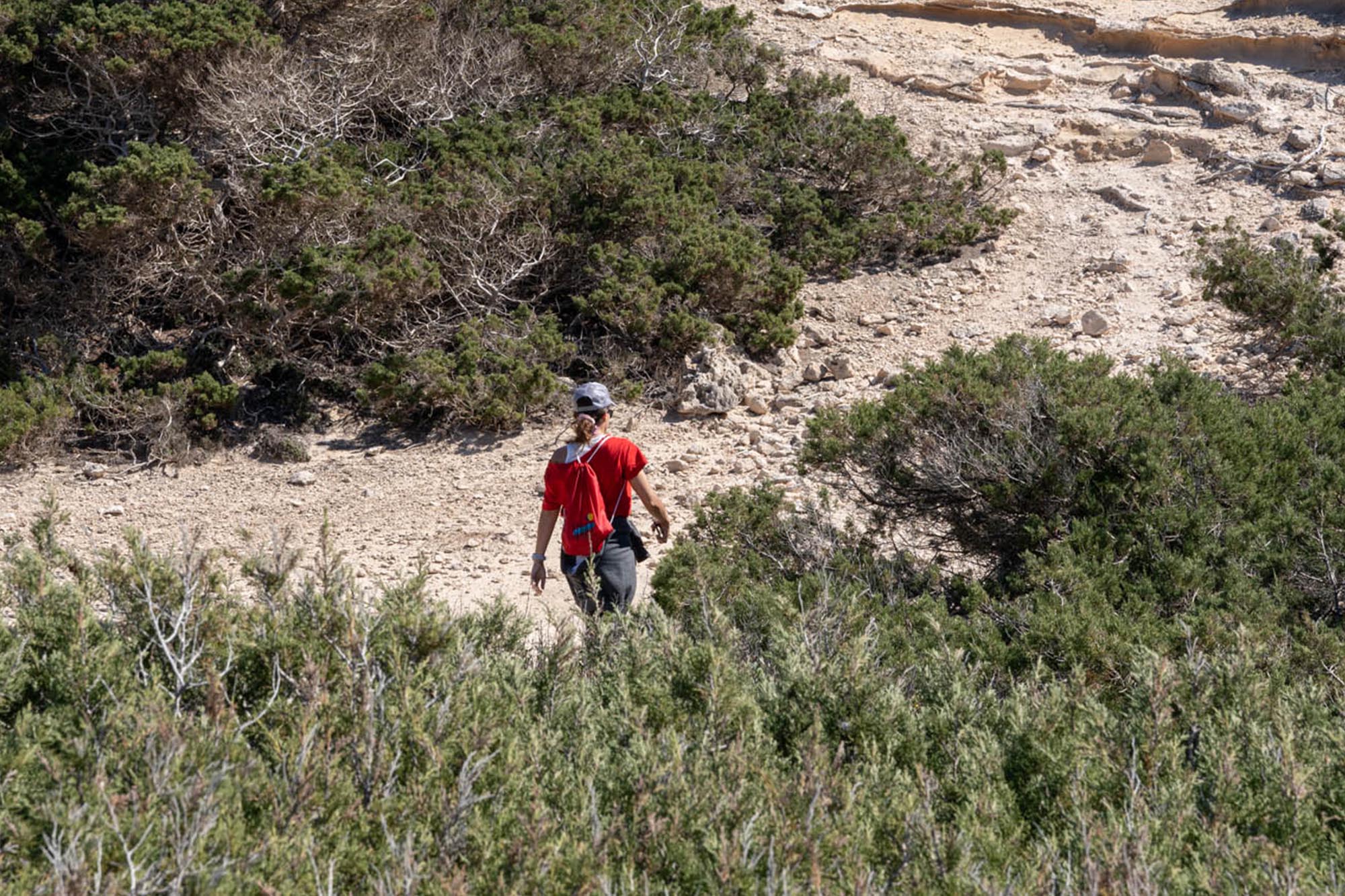
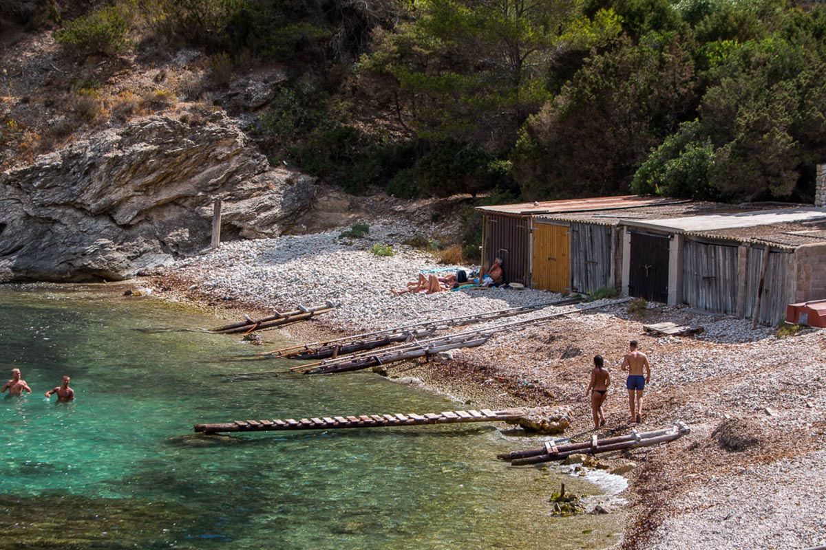
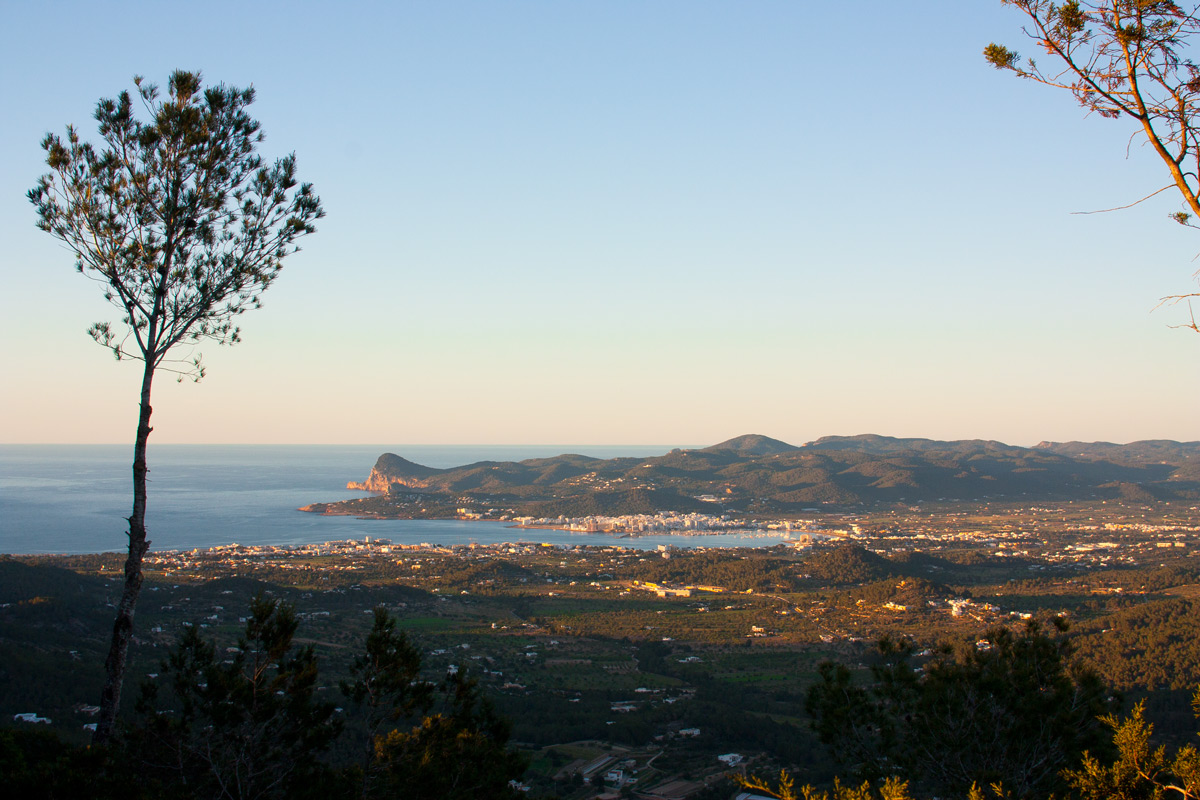
We arrive at Cala Llentrisca where we begin a climb along a stoney path with a drop of 150 metres which is why we will probably go up it on foot. Above, a path with a similar drop awaits us until 300 metres’ altitude where we find a small area of level ground where we can catch our breath. The climb to Puig d’en Serra is extremely tough as we climb the 415 metres in scarcely 1.5 km (by asphalt). From here we descend for a stretch before climbing the highest peak on the island, sa Talaia, at 475 metres’ altitude. The descent to Sant Josep is one of the best in the area: fast, among woods and with a fair drop. Once in the village, a stretch of track and asphalt form the final loop.
In order to tackle this route in full, it is necessary to have trained to a decent level, to have good supplies of food and water, to wear a helmet, to have a machine that will not give in at the first rocky descent and, above all, to have a lot of motivation.
Distancia total – 82 KM
Tiempo estimado – 8 horas
Ascenso total – 2.652 m.
Descenso total – 2.652 m.
Carretera – 15%
Pista – 40%
Camino – 45%
Dificultad técnica – Alta
Dificultad física – Alta
Dificultad global – NEGRA
– We can shorten the route by cutting out the final loop but it is advisable to enjoy it in full.
– There is a natural spring during the second climb to sa Capelleta where we can find water. Even so, it is advisable to stock up with an abundance of food and water for this route.
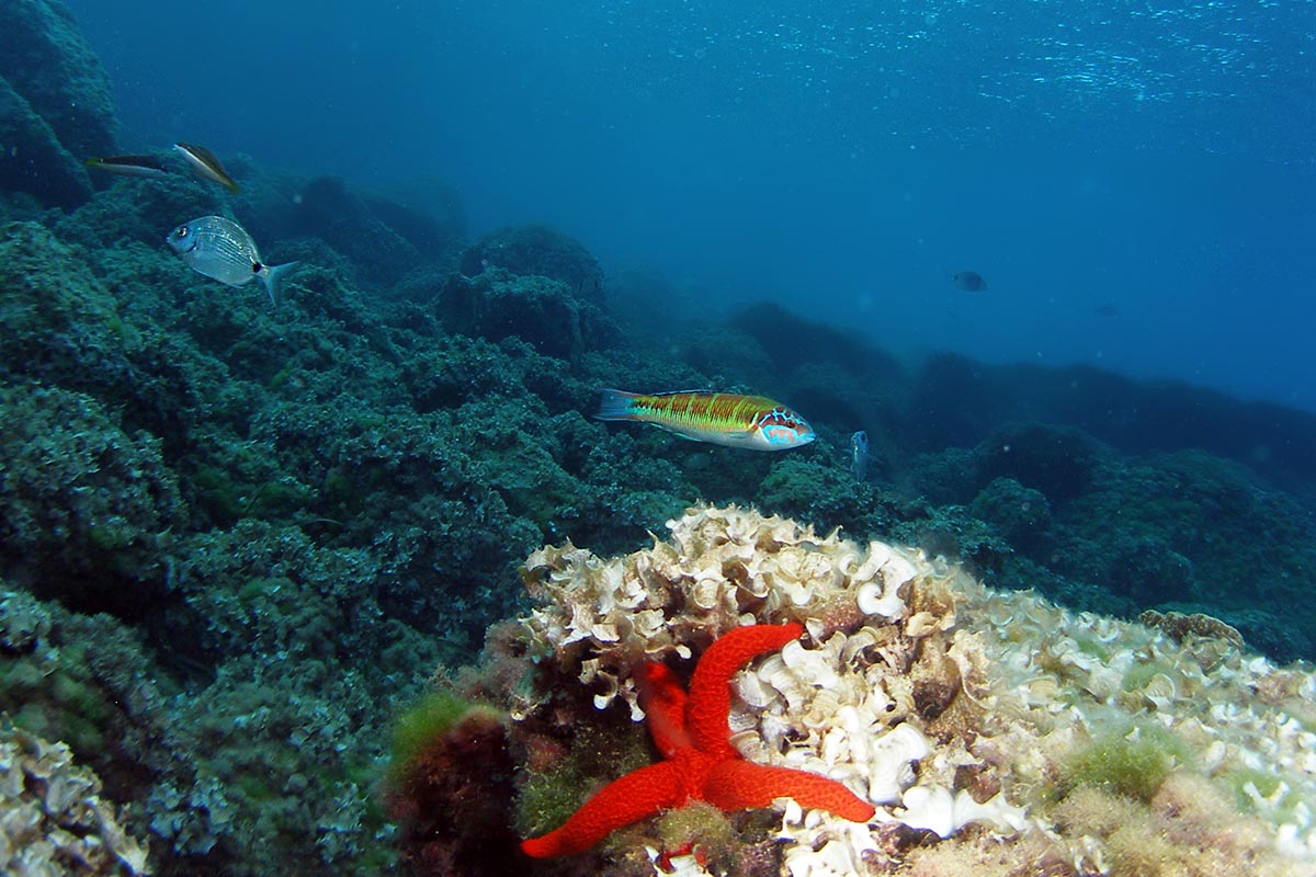
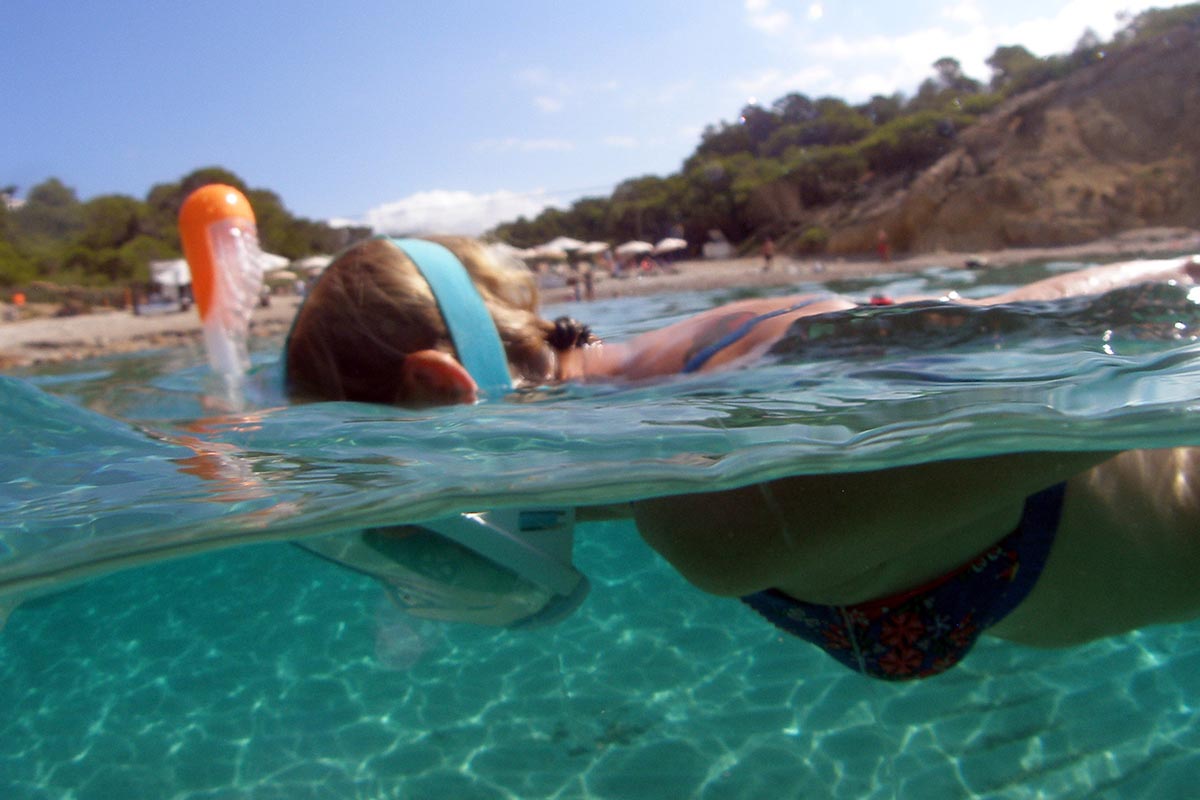
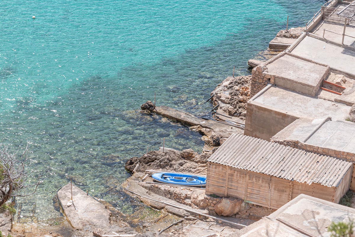
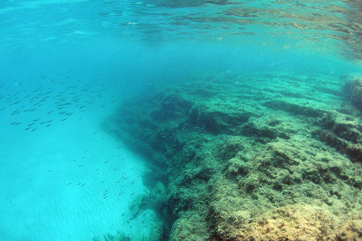
– Special care must be taken on the Cala Llentrisca path, next to the sea.
– The length of the route and the available hours of daylight should be taken into account. In any event, it is advisable to carry back-up lights.
– Always wear your helmet.
ROUTE METER
1. Departure. We leave Sant Josep along Can Cantó street heading north. At the following crossroads we turn left, ascending.
2. Left turn at the track. We see a tight curve in the road and we turn into the descending track to the left. Further on, next to a house, we continue straight ahead and then take the right fork.
3. Right fork. We arrive at a fork and take the right. 50 metres further on we turn left along a descending path, turn right at the following fork and continue along the main path without turning off.
4. Left fork. At this fork we take the left, we continue until a track where we turn left and we carry straight on until a road where we turn right.
5. Right turn at the track. At this point we turn right along a dirt track, at the following crossroads we go straight on, at the crossroads a little further ahead we turn right, ascending, and at the following crossroads we go straight on.
6. Left turn at the road. We arrive at a road and we turn left. At the following three crossroads, we go straight on without turning off.
7. Right fork along the track. We see a fork and we take the track to the right. At the following fork we take the left until we arrive at a road where we turn right.
8. Right turn at the crossroads. We arrive at a crossroads and we turn right. After 100 metres we turn left along a track on which we continue without turning off.
9. Left turn at the path. We turn left along a stony path that ascends up a steep slope (we will probably have to get off our bikes). When we arrive at the top we encounter a crossroads and we descend to the right along a cement path.
10. Left fork along the track. We arrive at a fork and we take the left which ends up being a track. At the following crossroads we turn right and continue along the main track until a road.
11. Left turn at the road. We come to a road and turn left. After 10 metres, we turn left along a track. We carry on along this track until we arrive at a road where we turn left.
12. Right turn-off into path. At this point we turn right along a path that descends. At the following crossroads we go straight on until a road where we turn right.
13. Right turn at the track. A few metres from the previous crossroads, we turn right along a track. At the two following forks we continue to the right. We pass Casita Verde until a road and we turn left.
14. Right turn at the track. We turn left along a track and we start the ascent to sa Murta. At the following fork we take the left, ascending up the main track.
15. Left turn. We almost reach the top and turn left, ascending. At the following crossroads we turn left and at the two following crossroads we turn right to start descending.
16. Left turn into the path. We turn around 180 degrees to the left so as to continue descending along a path. At the following crossroads we go right. Further on we reach a crossroads where we go straight ahead along a descending path.
17. Right turn. We arrive at a gravel track and we go to the right, descending. At the following crossroads, we turn right and we continue along the same track without turning off until we arrive at a road where we turn left.
18. Right turn at the path. At this point we turn into a path -parallel to the road- that descends along a rushing stream until it connects with the road 500 metres further down.
19. Go straight along the path. We reach a crossroads and we go straight on along a path that goes over a rushing stream until the path ends at a street 1 km further down. We turn right along the street.
20. Right turn. After continuing along the street, we turn right. 10 metres further on we turn into a path on the left. We reach a road where we turn left and then right along a track.
21. Right fork. We reach a fork and we take the right, ascending until a track where we turn left. When we arrive at a road, we turn right and then left along a track.
22. Left turn the path. We turn left, entering a path that passes close to several houses until we reach a road where we turn left. At the next crossroads we turn right and we continue along the road, without turning off, for 2 km.
23. Left turn at the track. We turn left along a forest track where a few metres further on we find a spring. The climb to sa Capelleta starts here.
24. Left turn at the crossroads. We arrive at a crossroads and we turn left, ascending along a path. A little further on we continue ascending along the main track to the right. When we arrive at the top -a track next to a house- we descend heading the right.
25. Left turn at the crossroads along the road. After the descent we arrive at this crossroads and we turn left. After 100 metres we turn left into a track next to a house. At the following crossroads we go straight on and at the following fork we take the right.
26. Left fork. We arrive at a fork next to a house and we take the left. A little further on we reach a path and we start going down to the right. We continue along the main track, without turning off at the crossroads.
27. Right turn. We arrive at a dirt track, we turn right and continue going down. At the following fork we take the left. Further on we find a crossroads where we carry straight on along the asphalt road, without turning off.
28. Right turn. We come to the Sant Josep road but we take a path to the right which becomes a gravel track. We reach a main road which we cross and we continue straight ahead, passing close to a bar. At the two following crossroads we turn left and we continue along the track without turning off.
29. Left turn. At this stage we take a path that enters the woods to the left. When we arrive at a house with an impressive olive grove, we turn right along a path that starts to descend, entering the Cala Jondal mountain bike trail. We continue straight along the path.
30. Right fork. We reach a fork and we take the right along a hard path with stones. Further on we come to a house and we carry on ahead, descending. At the following crossroads, we turn left and then straight on.
31. Right turn. We again head into the woods to the right. We continue through the woods without turning off. We reach a crossroads where we turn left until a house where we go down along a track to the left.
32. Right turn at the road. We arrive at a road and we turn right. A little further on we turn to the right again and continue along a track without turning off. At the next crossroads with a road we turn right.
33. Go straight on at the track. At this crossroads we once again head into the countryside along a track. At the following crossroads under the woods we turn right, right again and then left at the fork.
34. Go straight on at crossroads. At this crossroads we go straight ahead and a little further on -next to a house- we turn left along a path and 20 metres further on turn left again, descending along a path.
35. Go straight on. We come across an alternative path but we continue straight on until we reach a path and we turn right. At the following crossroads we take the track heading right.
36. Go straight on at crossroads. We arrive at a crossroads where we continue straight on until a road where we turn right. At the following crossroads we turn left to es Cubells.
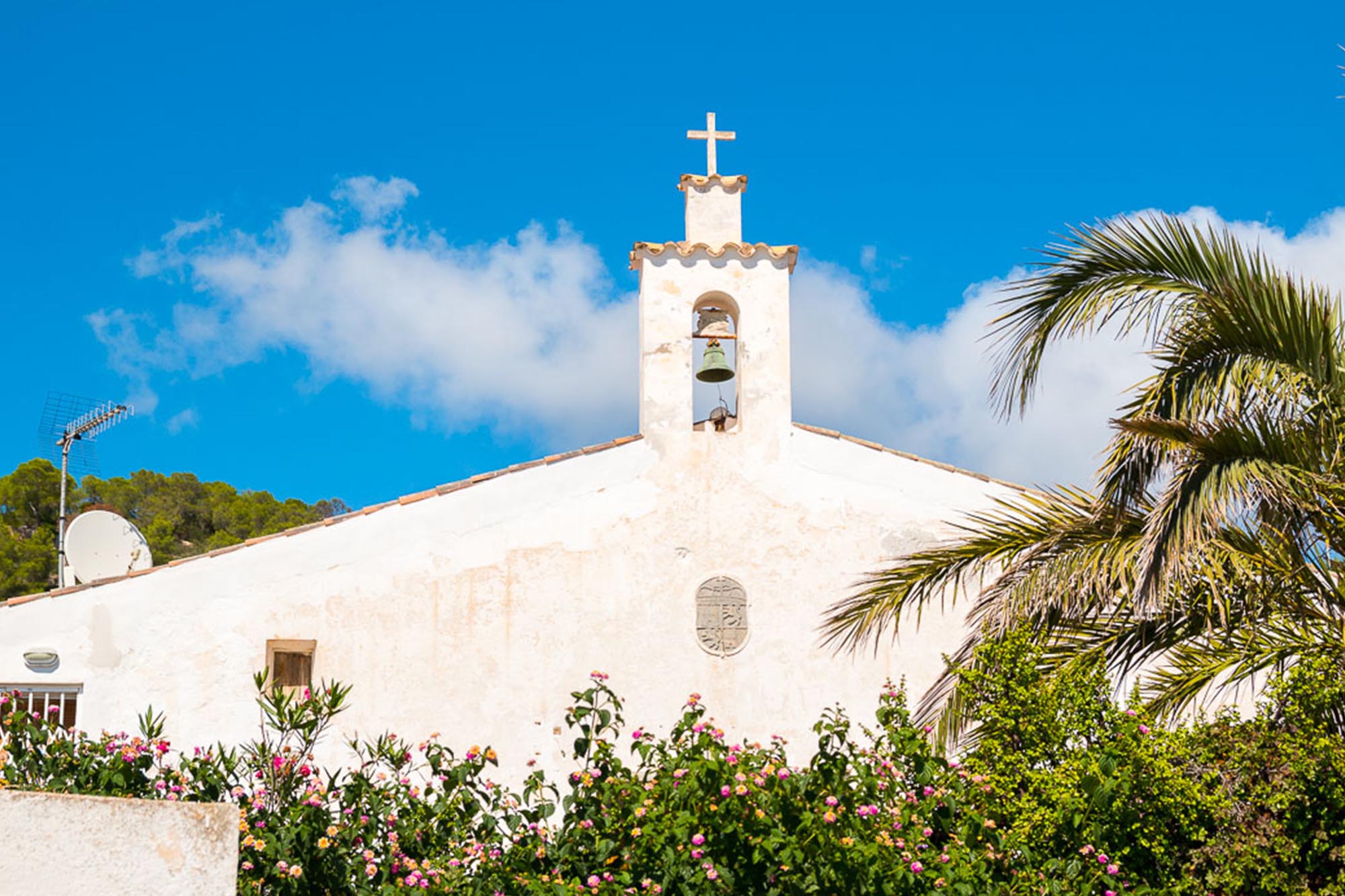
37. Left turn at village. We arrive in es Cubells and we turn left next to the church. We take a road with numerous houses and which goes around the cliff in a southwest direction for 3.5 km.
38. Go straight on into path. We come to the end of the road and we continue ahead, taking a narrow path that goes around the cliff to cala Llentrisca. From there, we climb up a path that exits to the right and snakes upward with a steep slope.
39. Right turn at track. We reach a track and we turn right to continue ascending. If we turn right, we can visit a charming viewpoint.
40. Right turn at crossroads. At this crossroads we turn right and continue straight along the same track until the top. Then we descend for a stretch, without turning off, until we come to a road where we turn right.
41. Left turn. At this point we turn left along a road that ascends up a steep slope through the woods.
42. Go straight on. We reach the highest point of the climb next to a house and we go straight on along a dirt path. At the following fork we turn right and continue straight on without turning off.
43. Left turn at the track. We arrive next to some houses and turn left along a descending track.
44. Left turn. At this point we turn almost 180 degrees and we take another track that descends. 200 metres further on -next to a house- we descend along a path to the right which heads into a wooded area.
45. Left turn at the track. After crossing a rushing stream, we arrive a track and we turn left. At the following fork we turn left. We go straight on, without turning off, for 1.5 km.
46. Go straight along the path. We arrive at a stage where the path is not very clear. We have to continue on the path ascending in a northerly direction and which leads up to an agricultural terrace. Once there, we head left.
47. Right turn at crossroads into the track. We arrive at a track where we turn right, ascending. At the following crossroads we turn right and continue ascending along the same track without turning off.
48. Right turn at crossroads. We arrive at a crossroads and we turn right, ascending, towards the top of sa Talaia. At the top we pass by a transmitter (TV antennas) and we go straight on, descending for a stretch.
49. Right turn at mirador (viewpoint) into path. We arrive at the sa Talaia mirador (viewpoint) close to some antennas. Here we take a path that descends sharply to the right. At the two following crossroads we turn left, descending.
50. Right turn. At this point we go down some stairs to the right (we have to get off our bikes). Further on we turn to the right and we arrive at a track where we descend going right until an asphalt road where we go straight ahead.
51. Left turn at village. We arrive in Sant Josep and turn left along this street. At the following crossroads we turn right.
52. Right turn-off. At this point we take a turn-off to the right and 1.5 km further on (after passing in front of the sports centre) we turn right (next to a water tank).
53. Right turn at the road. We pass a quarry. We arrive at a road where we turn right and we follow the road until a crossroads where we turn left.
54. Right turn at the track. We turn right along a track. We go straight on, gradually ascending, without turning off. 1 km further on we reach a crossroads. We go left.
55. Left turn at the road. We arrive at a road and turn left, then turn left again along another road. 50 metres further on we take a turn-off to the right along a descending road.
56. Go straight on at crossroads. We reach a crossroads and we continue straight on along a dirt track. At the next fork we turn left.
57. Loop. At this point we connect with the route during its ascent to sa Talaia and continue along this stretch -already covered- until Sant Josep.
58. End of route. We finish the route in the village of Sant Josep.