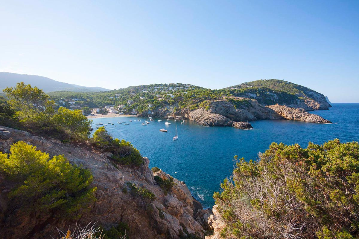

Kayak route from Platges de Comte to Sa Conillera – Ibiza
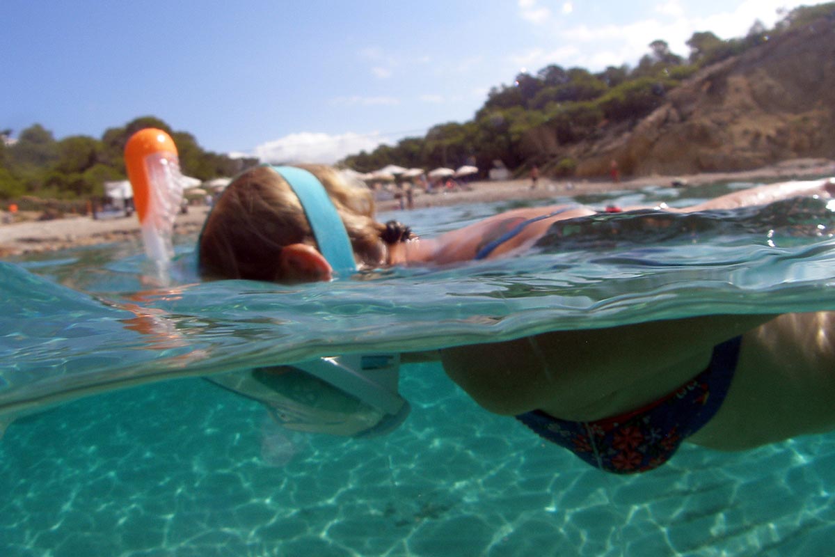
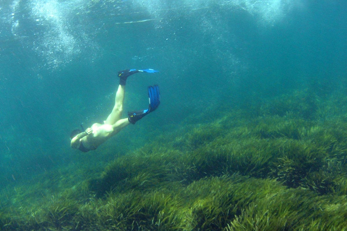
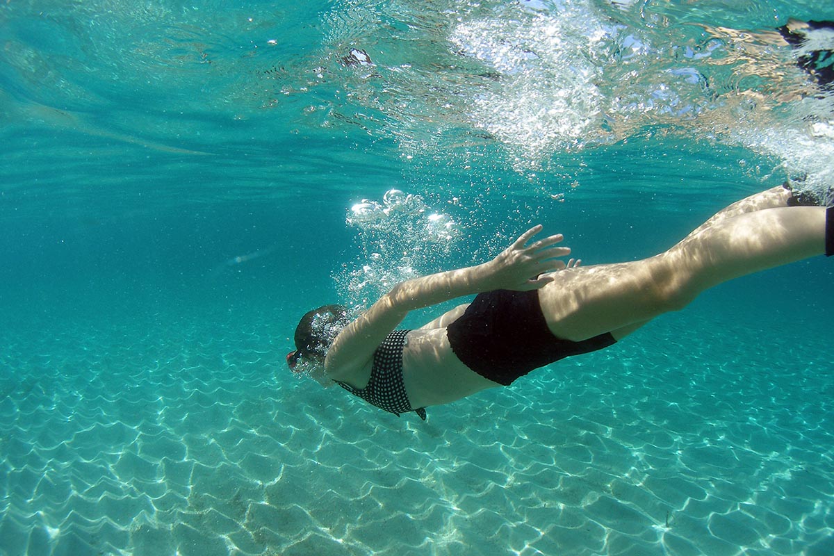
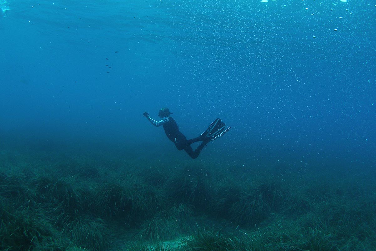
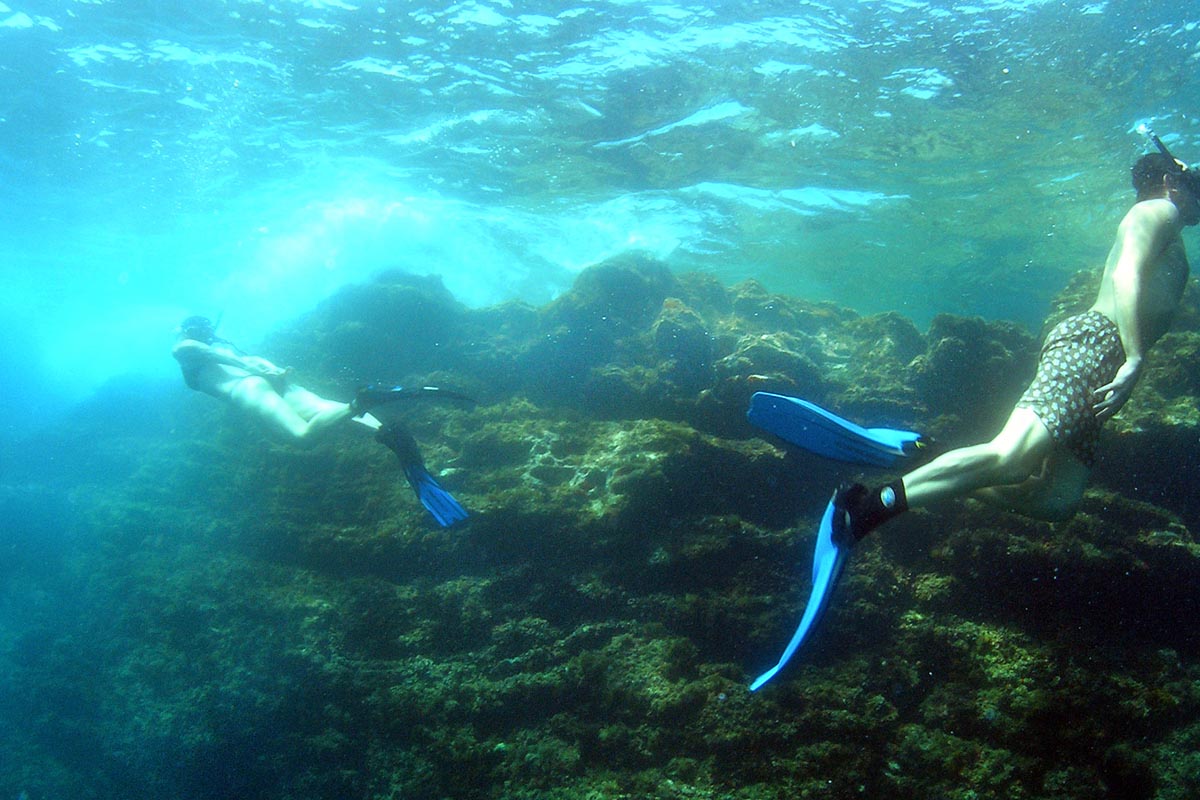
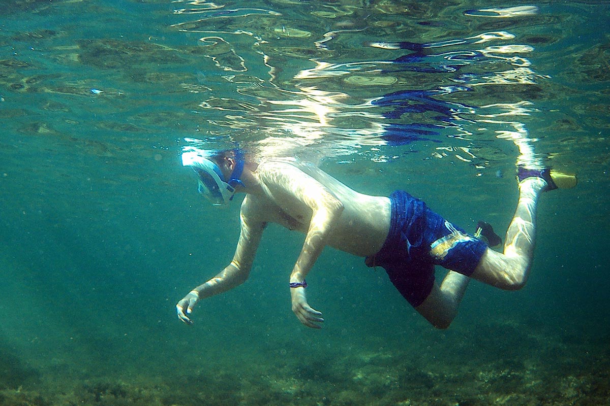
Kayaking
TIME: 4.00 Hours
LONGITUDE: 6,3 Miles
DIFFICULTY: High
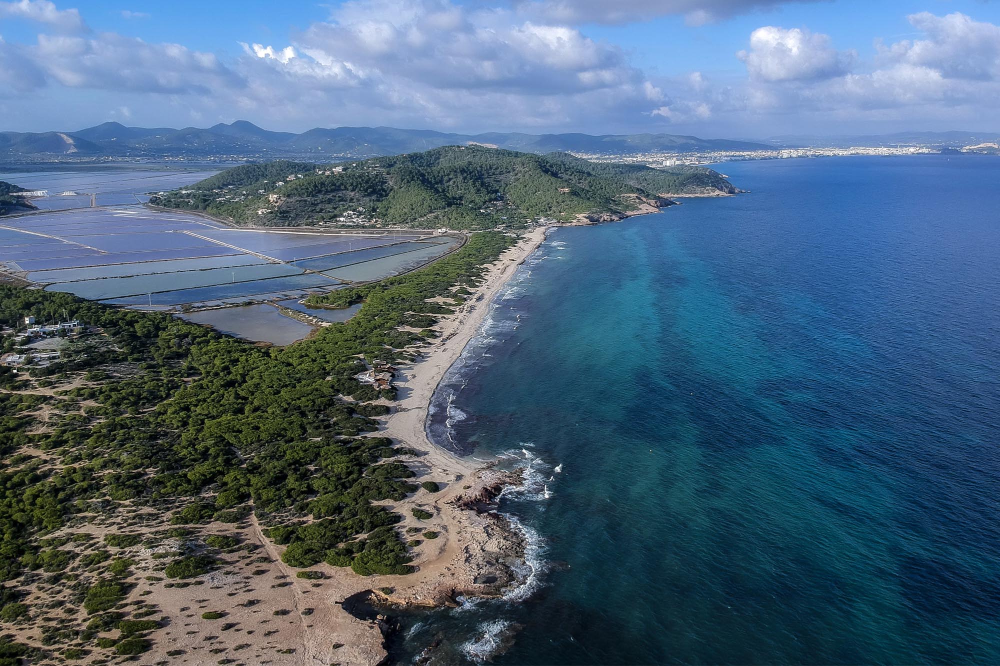
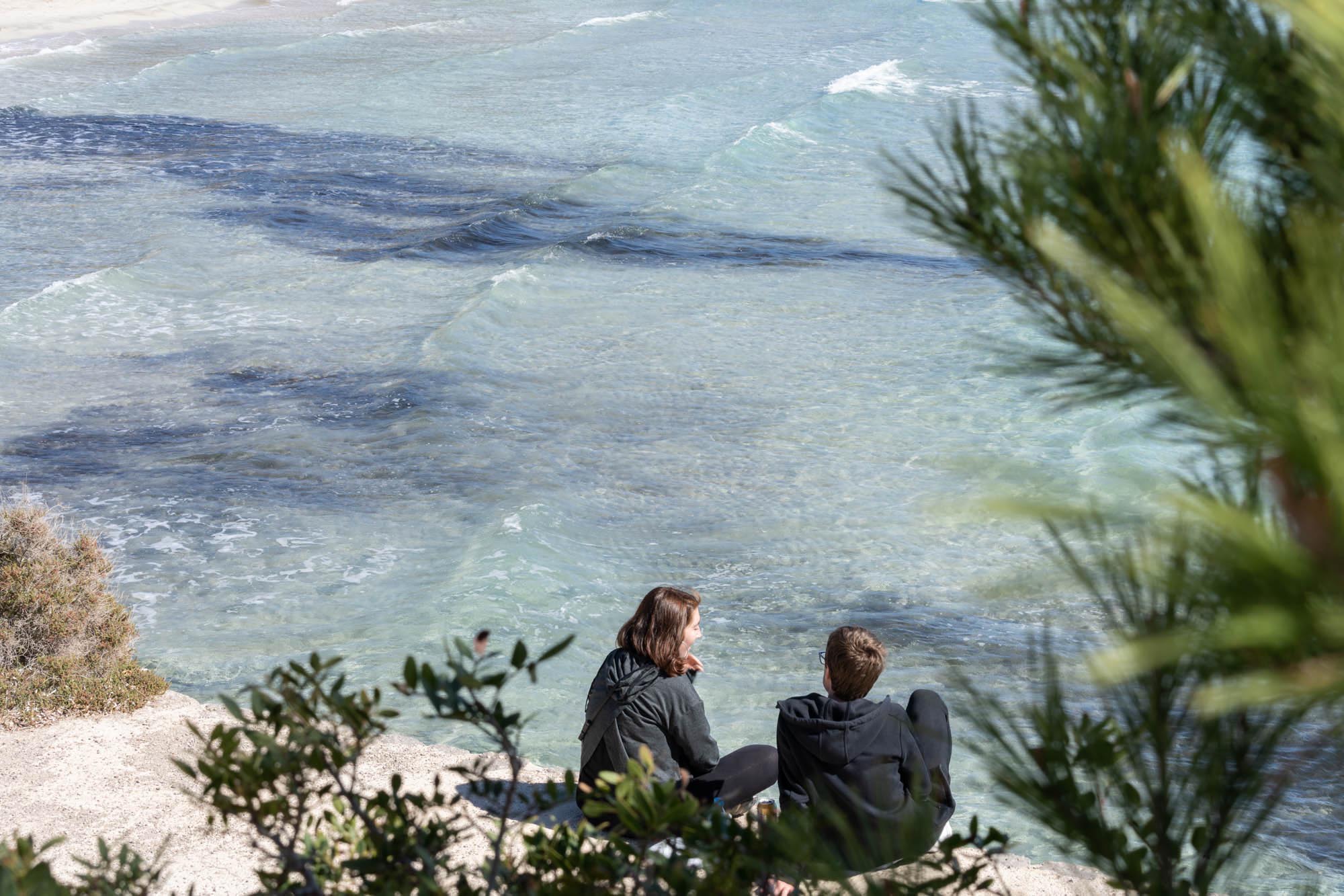
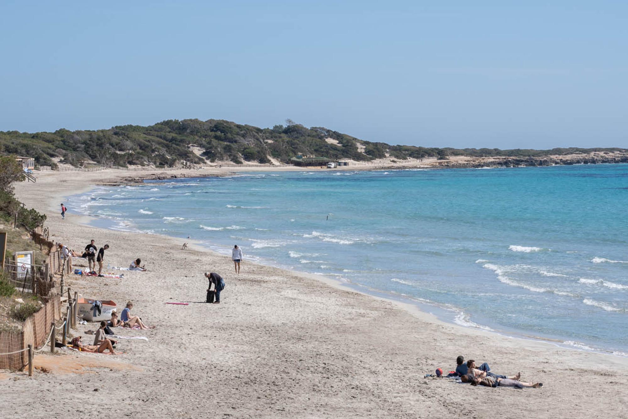
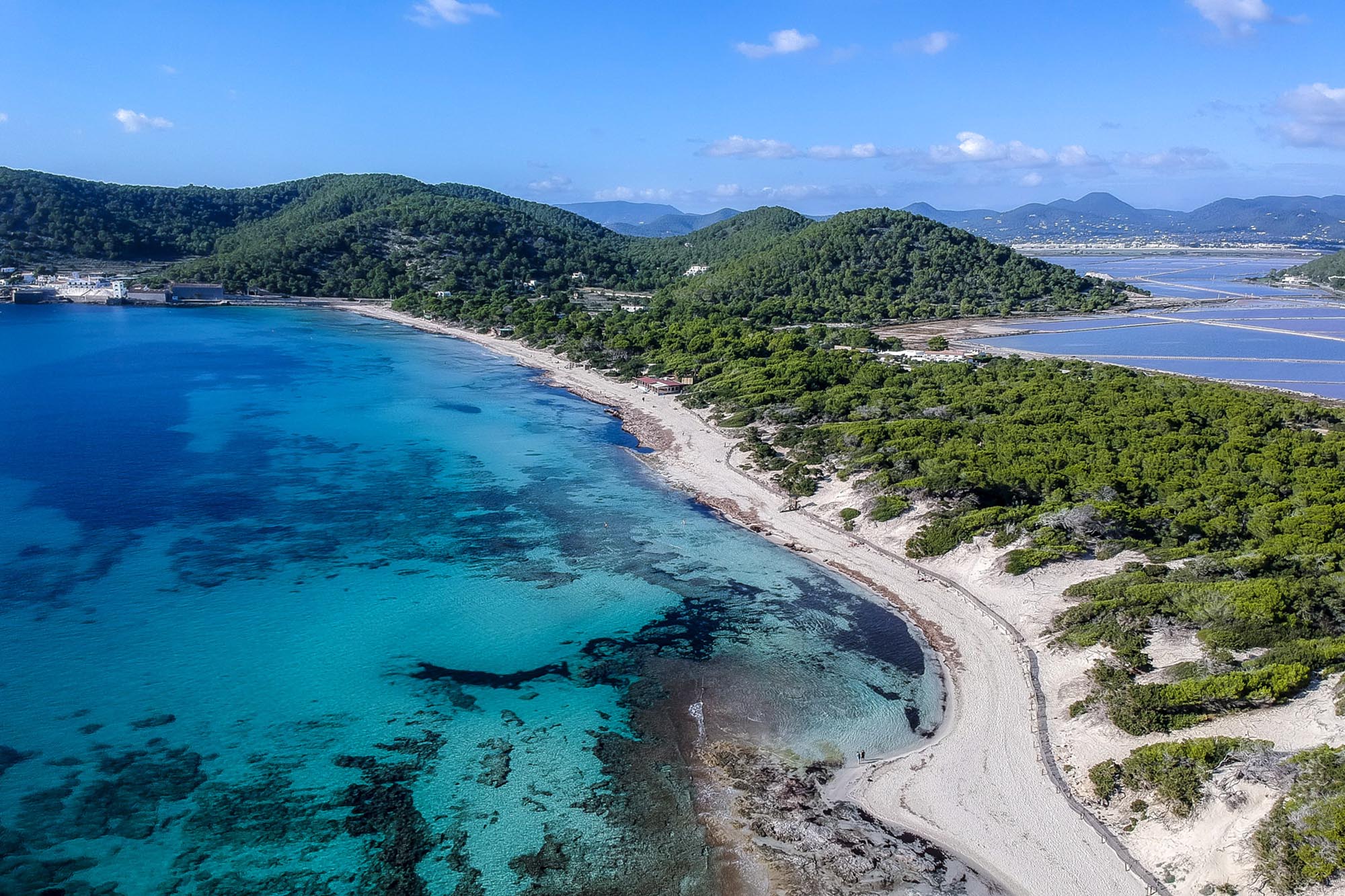
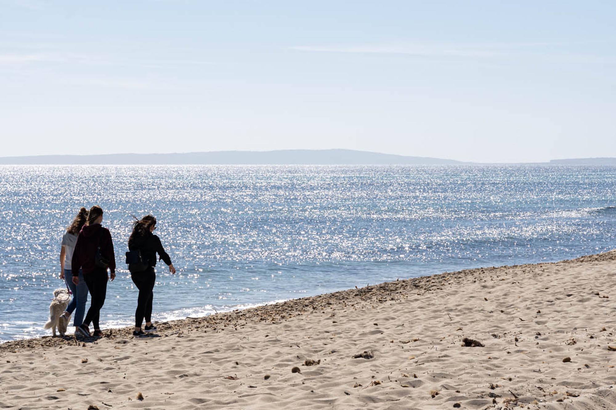
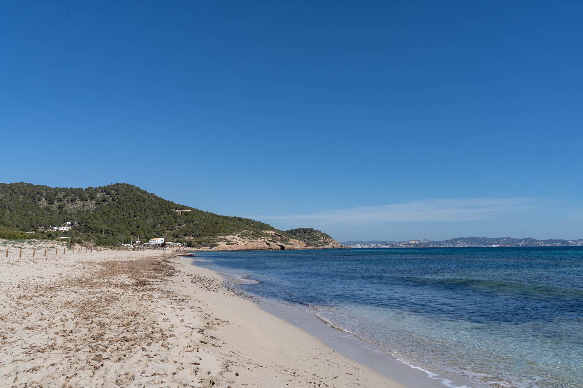
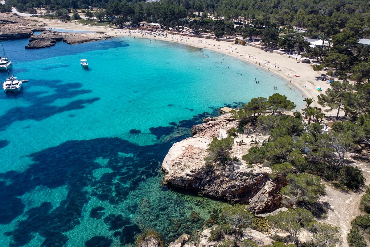
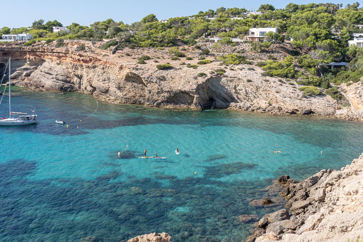
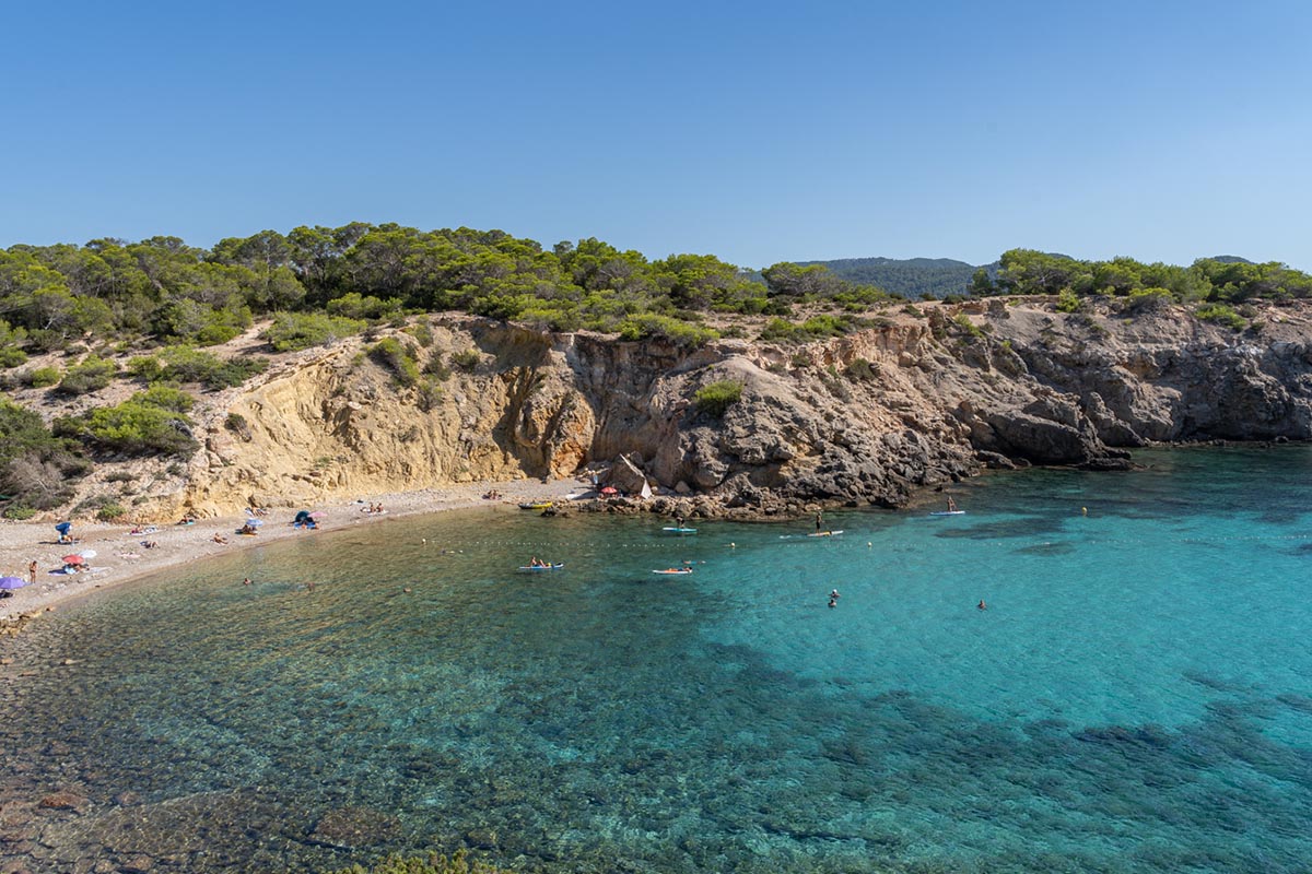
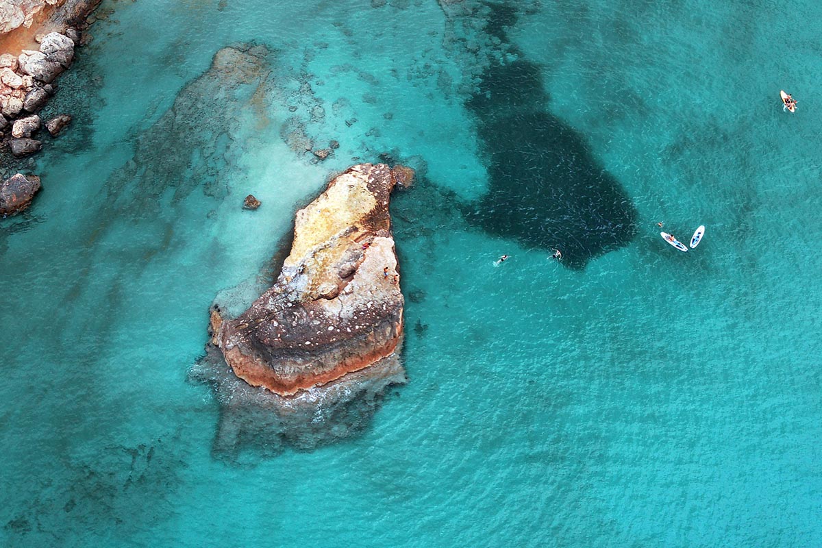
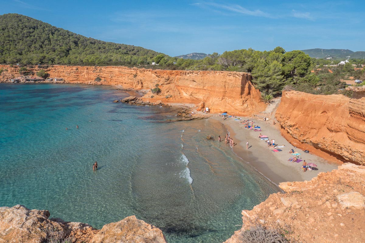
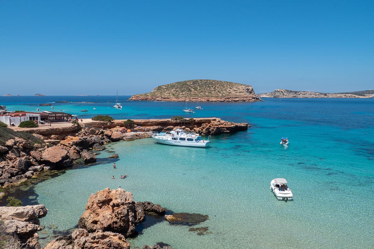
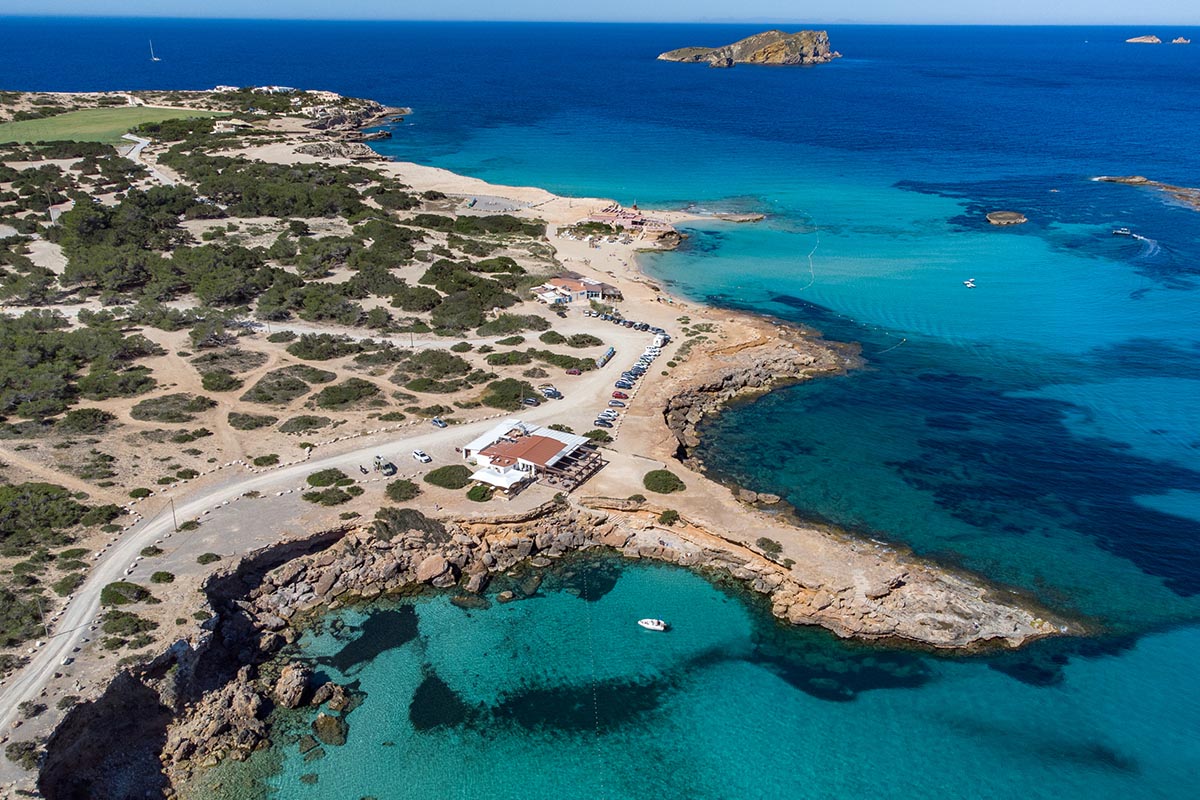
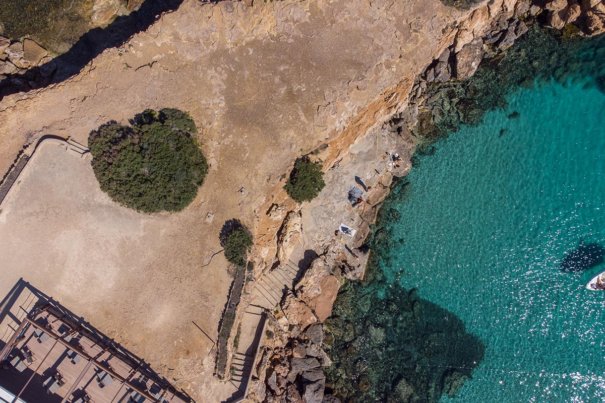
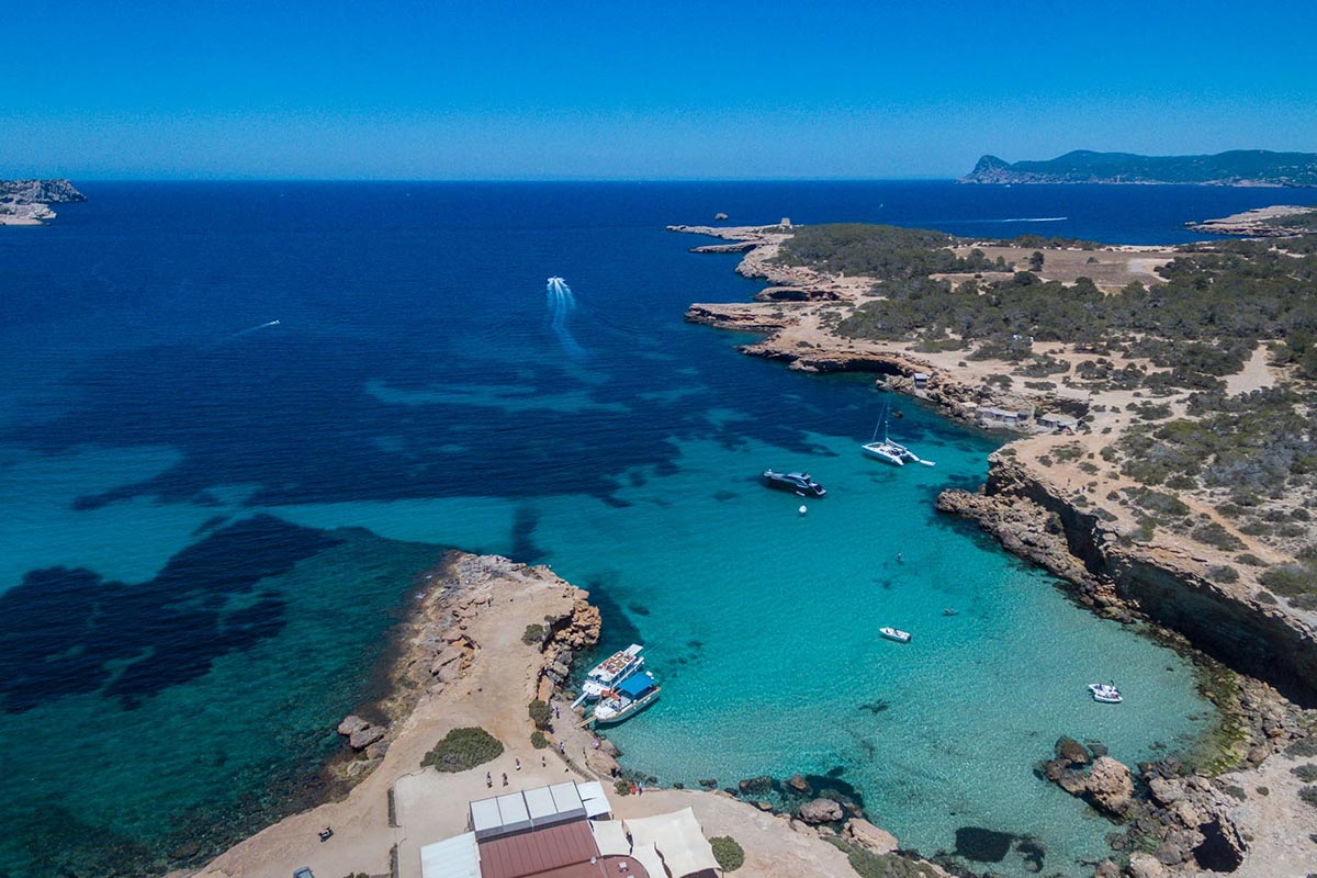
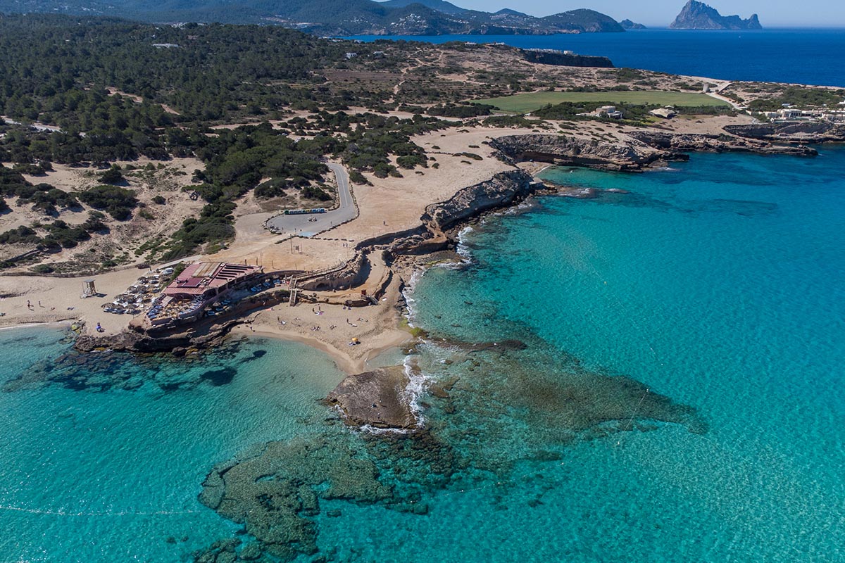
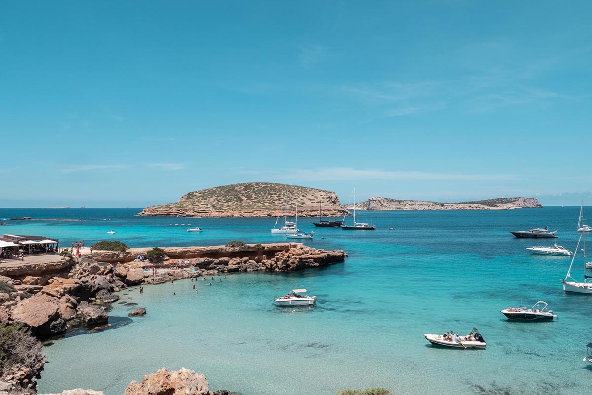
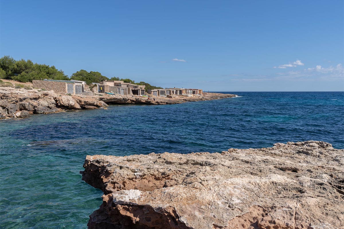
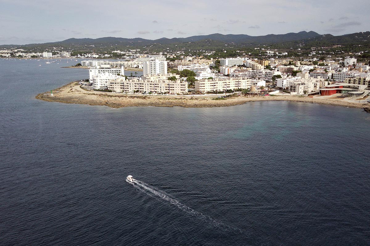
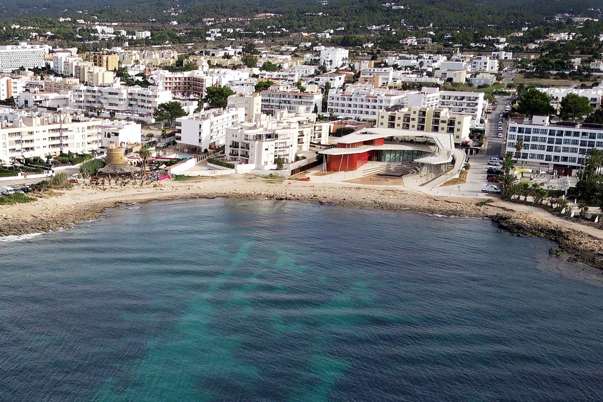
STARTING POINT: Platges de Comte
ARRIVAL POINT: Platges de Comte
HOW TO GET THERE:
From Sant Josep along the road of Sant Josep to Sant Antoni (PM-803), at the height of Sant Agustí we take the left turning signposted to Cala Comte (Platges de Comte) until we reach the beach.
CROSSING:
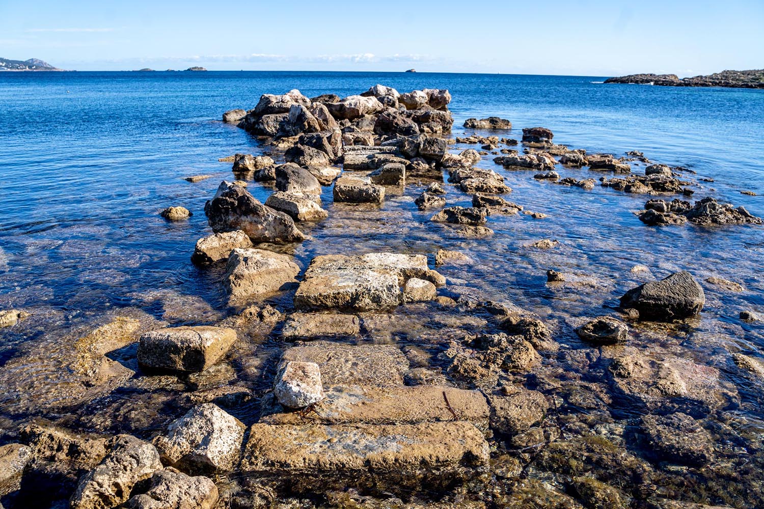
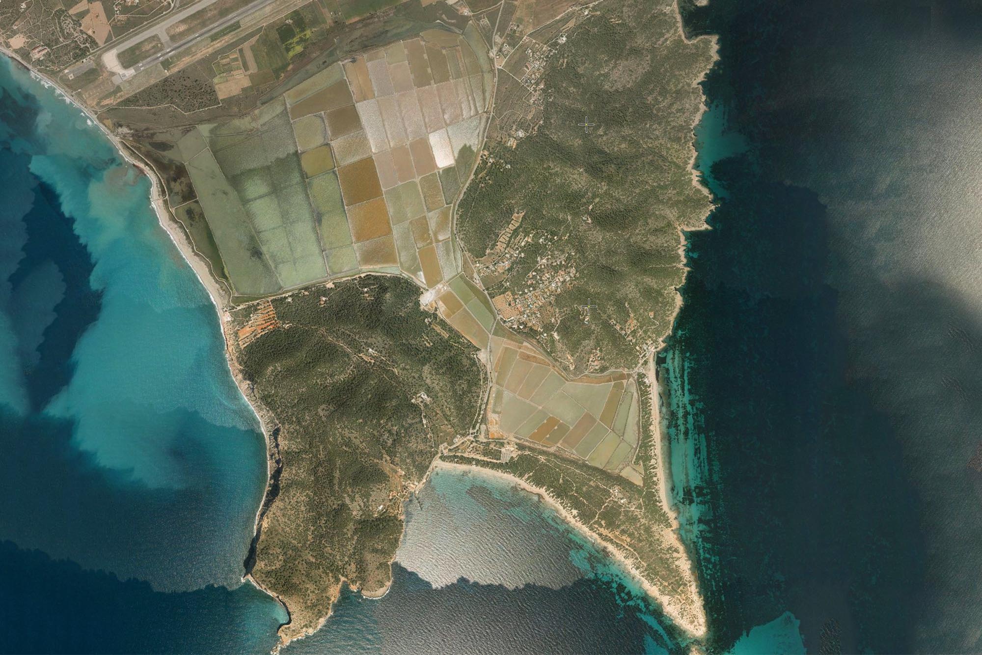
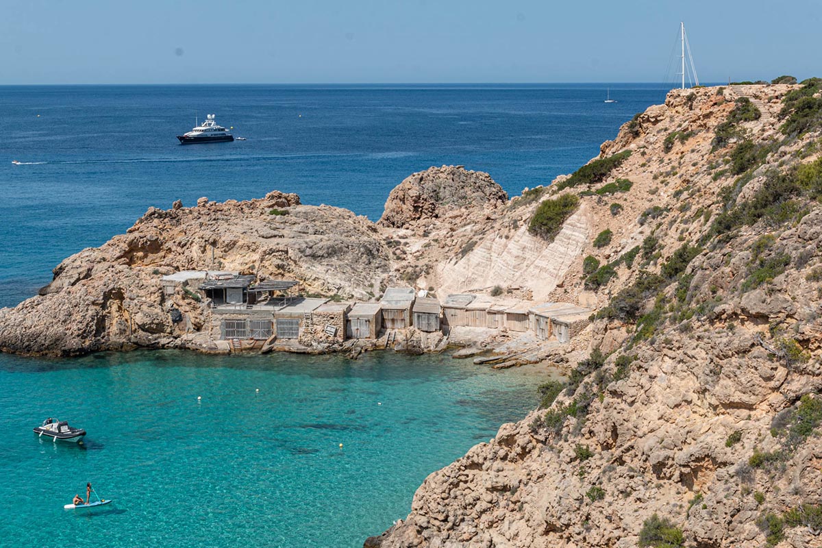
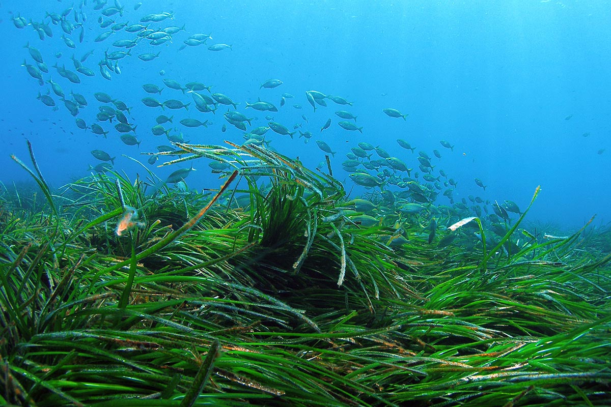
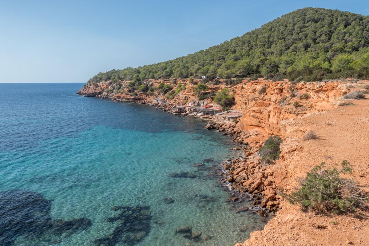
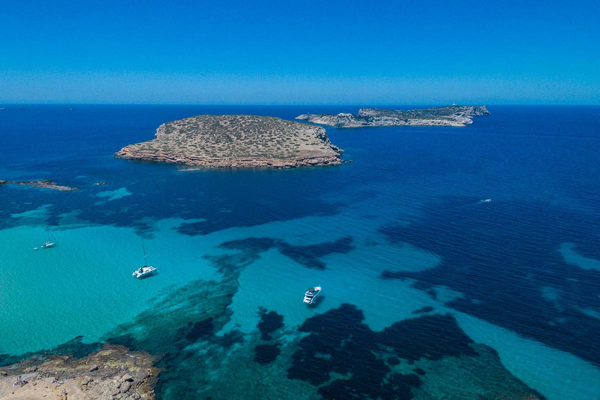
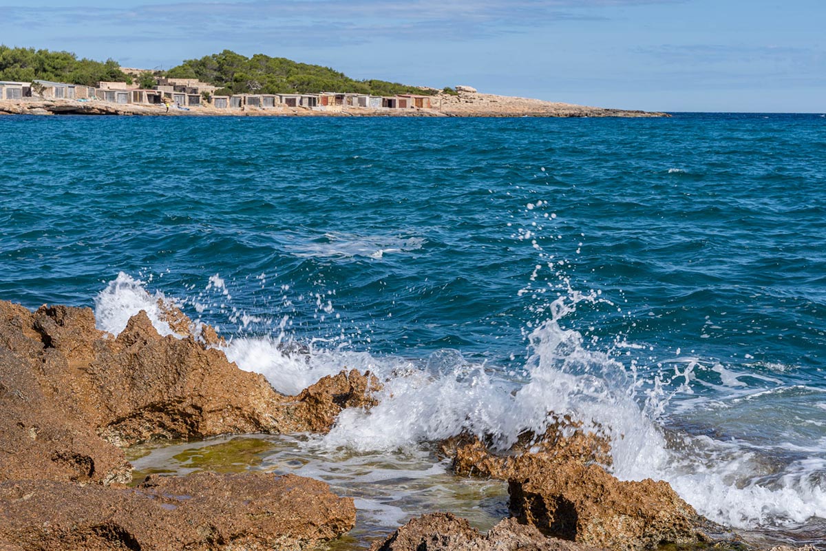
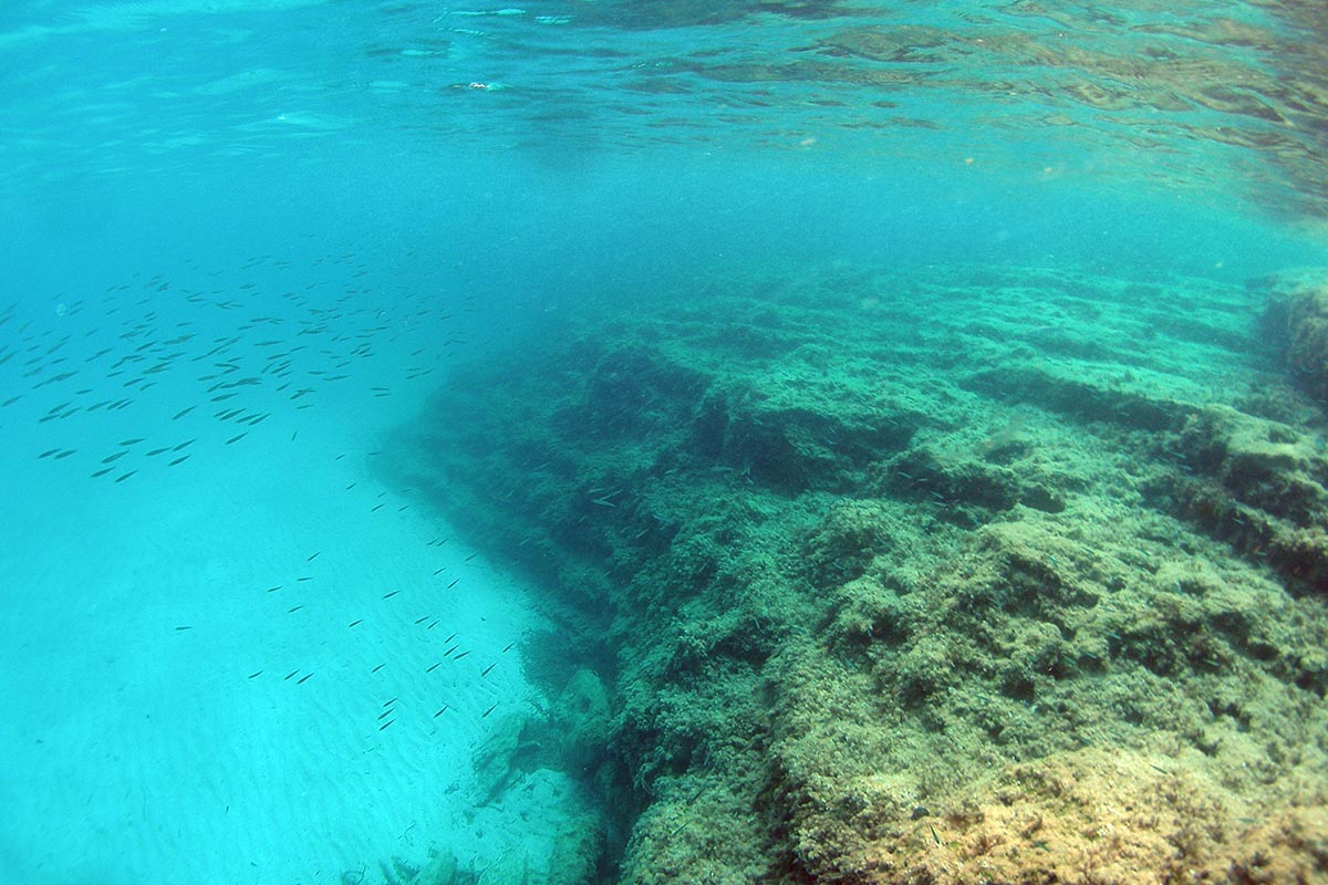
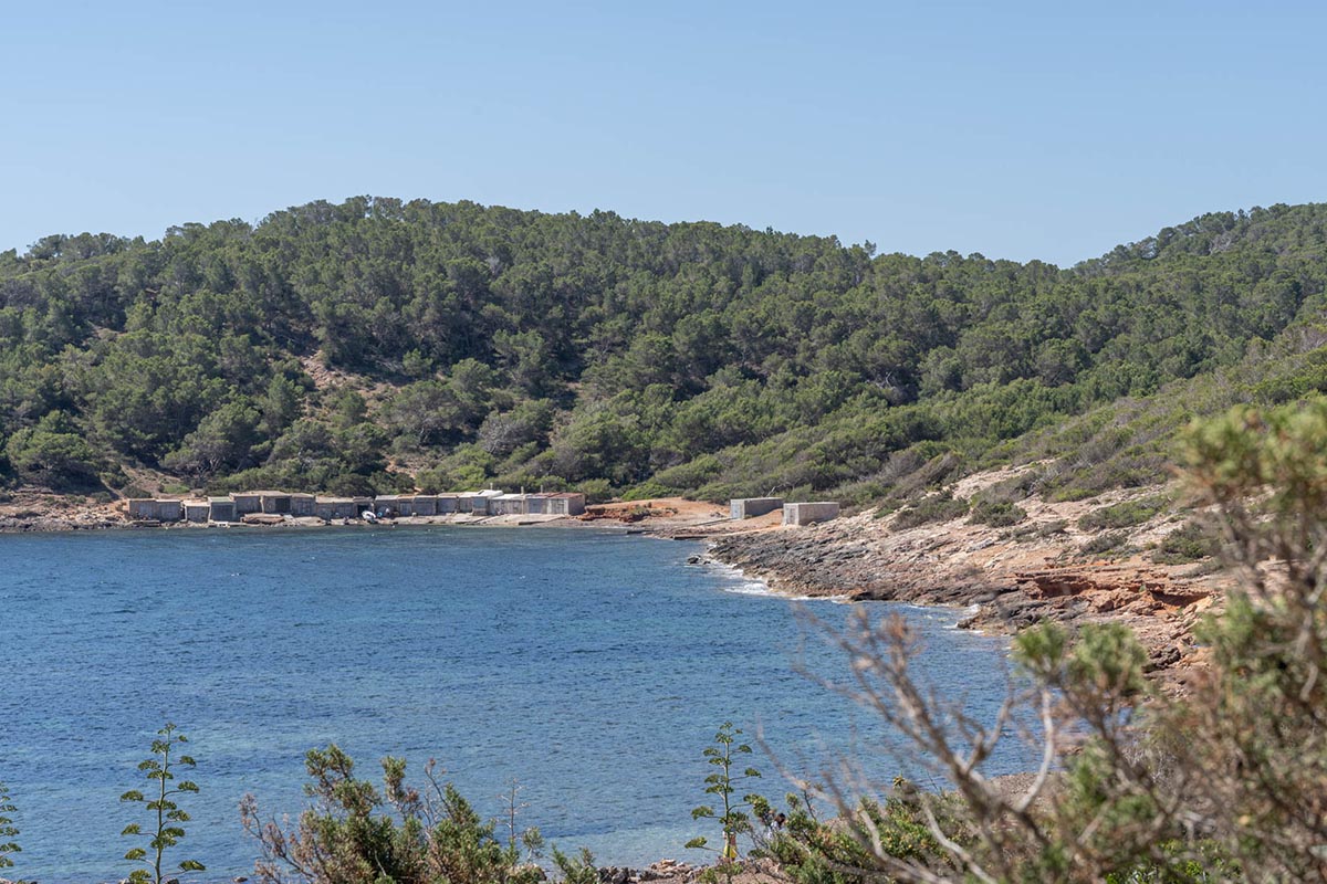
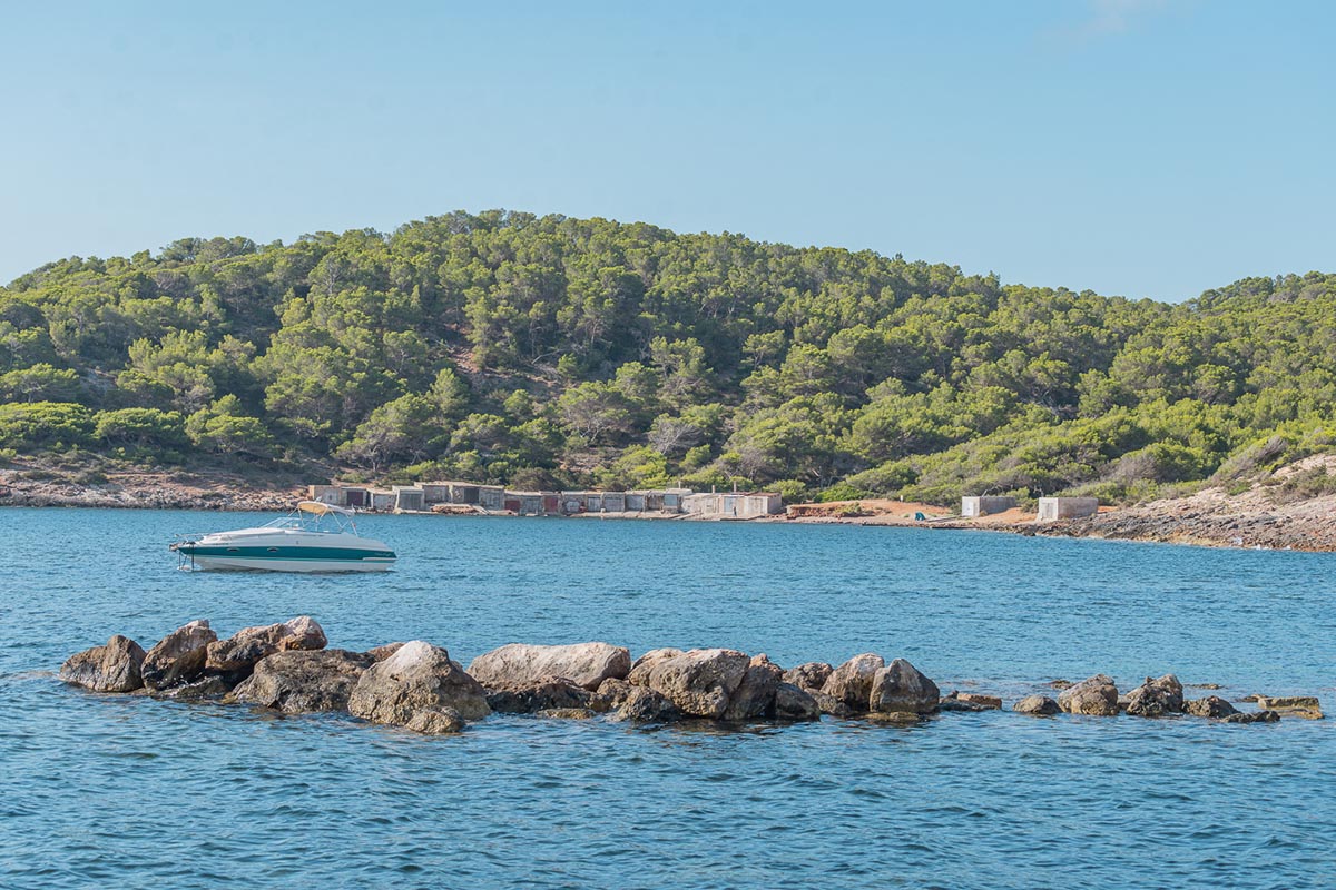
This route takes us to the islet of Sa Conillera which at over a mile long is the largest in the municipality.
It is important to remember before setting out, that not only is the route long but there is no possibility of disembarking or victualing; furthermore the navigation could be dangerous particularly on the West coast of Sa Conillera as it looks out on to the open sea. Therefore, we recommend gathering the necessary provisions beforehand likewise taking the appropriate precautions in this sense.
We will start navigating towards the island of des Bosc and we will leave this on our port side, passing by the Punta de Sa Cova des Porcs and continuing below the cli s of this virtually triangular island.
And thus we arrive at the beautiful Es Cap des Picatxos rocks, which rise out of the water with admirable shapes. Here we have to cross a rocky area with quite a lot of currents, abundant waves and seagoing traffic as it is used as a crossing place for a large number of vessels.
Once we have crossed, we will leave behind on our starboard side es Cap Blanc travelling along the coast of Sa Conillera sailing northwards..
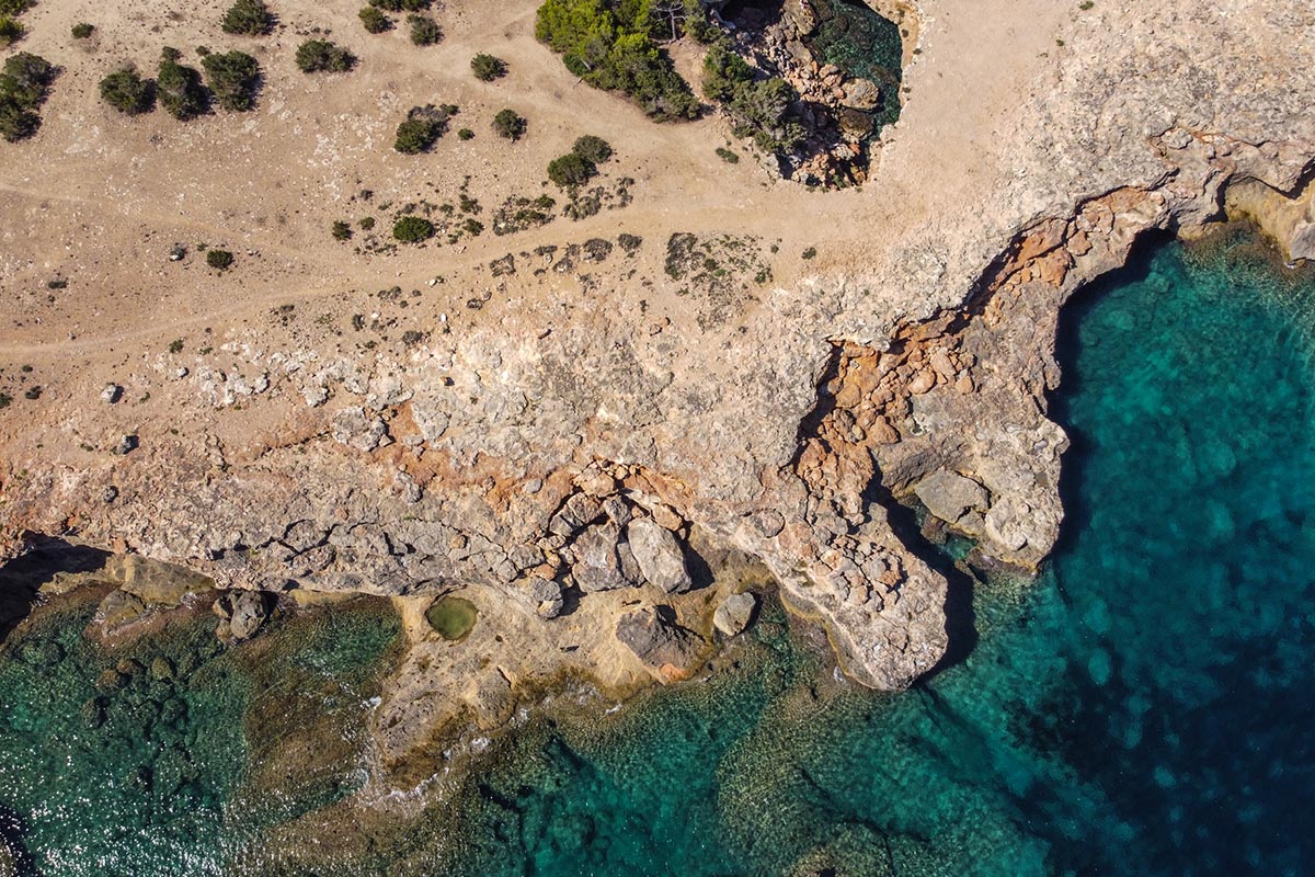
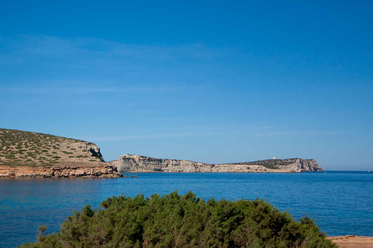
This is an area of very abrupt large cliffs, where we reach Punta de Llebeig de s ́Estufador which is pretty exposed to the open sea. A little farther on we reach a cove called s’Estancia de Fora, with lower rocks to nish at Cap de s ́Àguila. Here we start another stretch of cli s which are very often beaten by the groundswell.
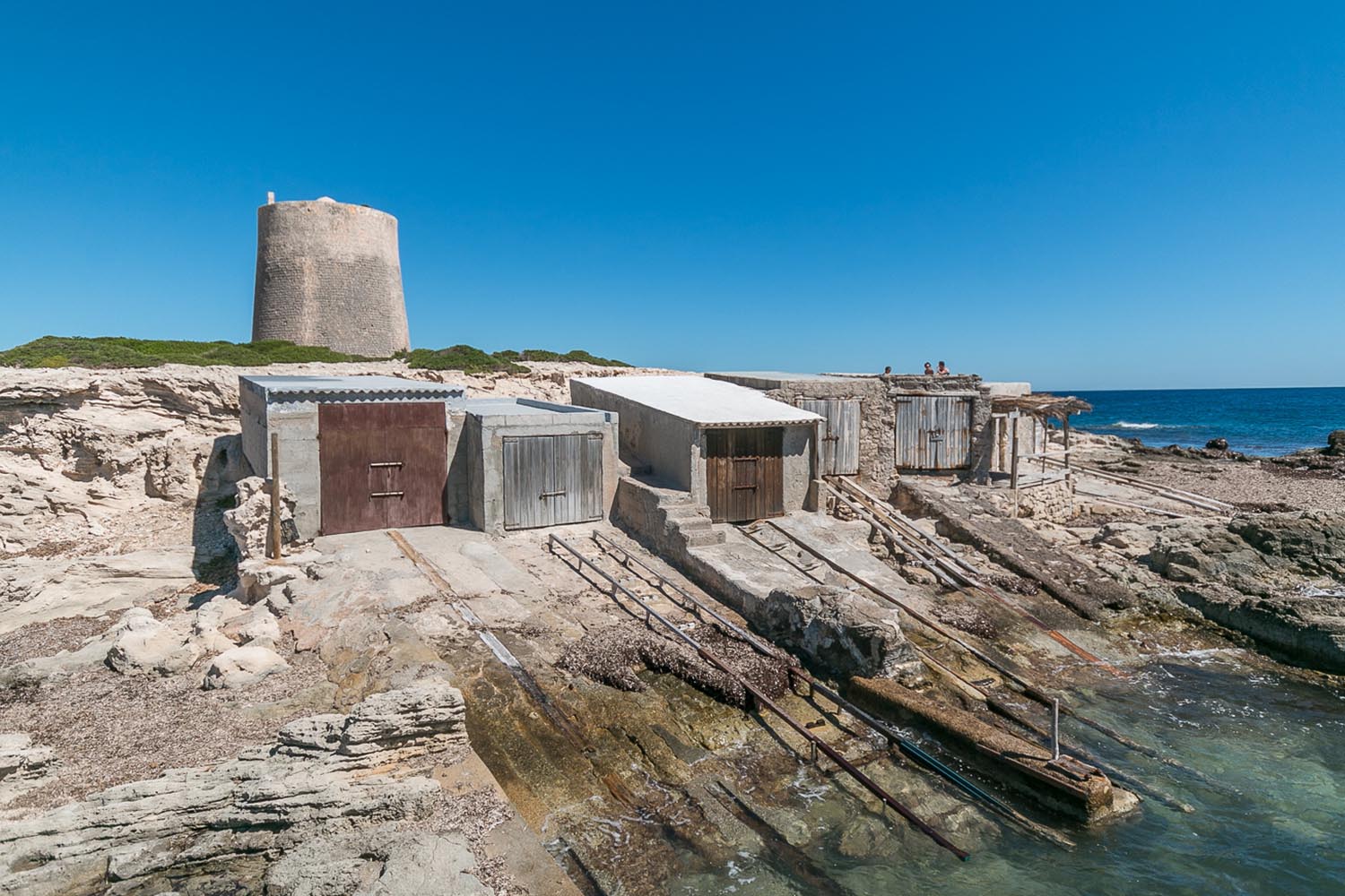
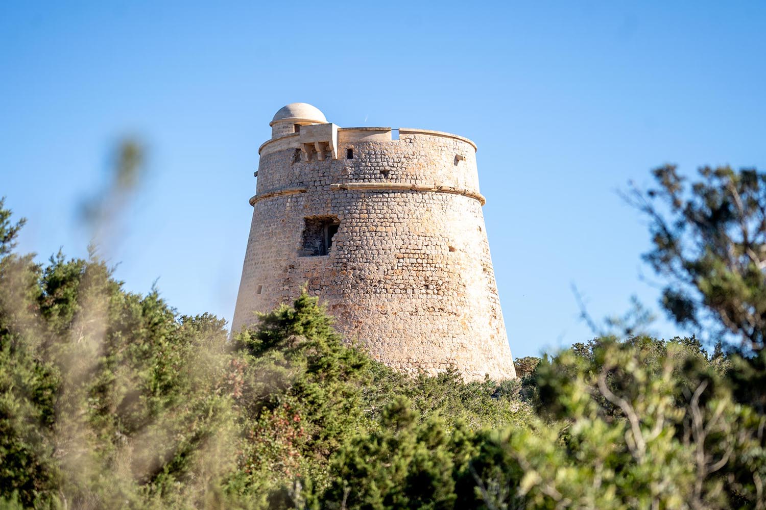
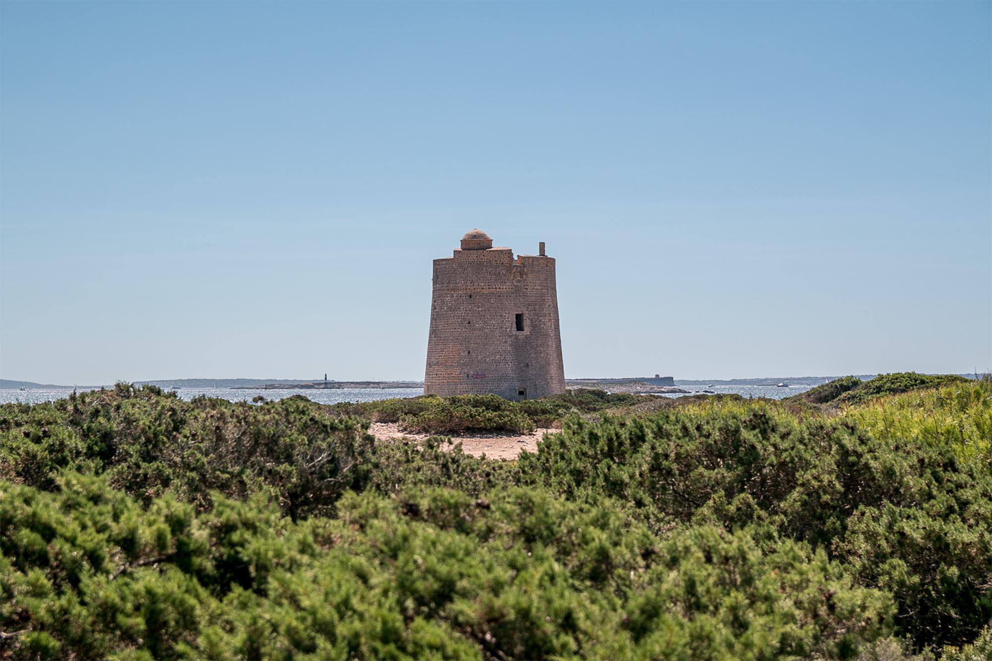
Now we will pass round the Punta de es Rellotge; from here we can make out the lighthouse of the island, one of the most beautiful of the Pitiusas and very important for sailing along this coastline. We continue to hug the coast along the northern edge of the island, which is also exposed to strong swells, and so we will round the Punta des Cavall, and farther along the Punta de Na Collet..
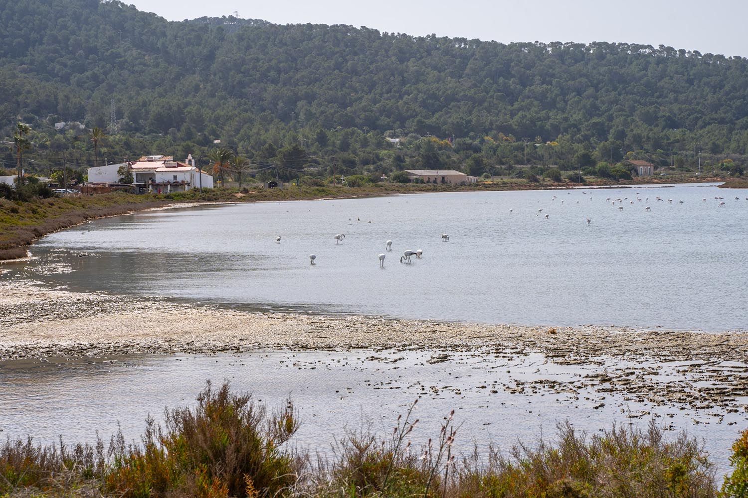
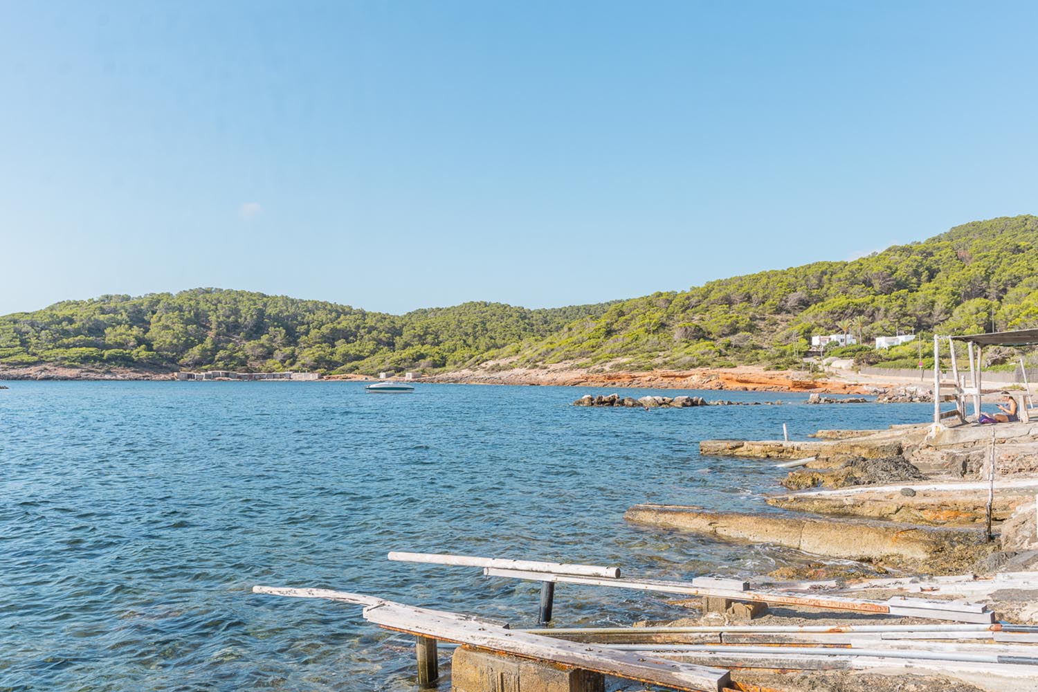
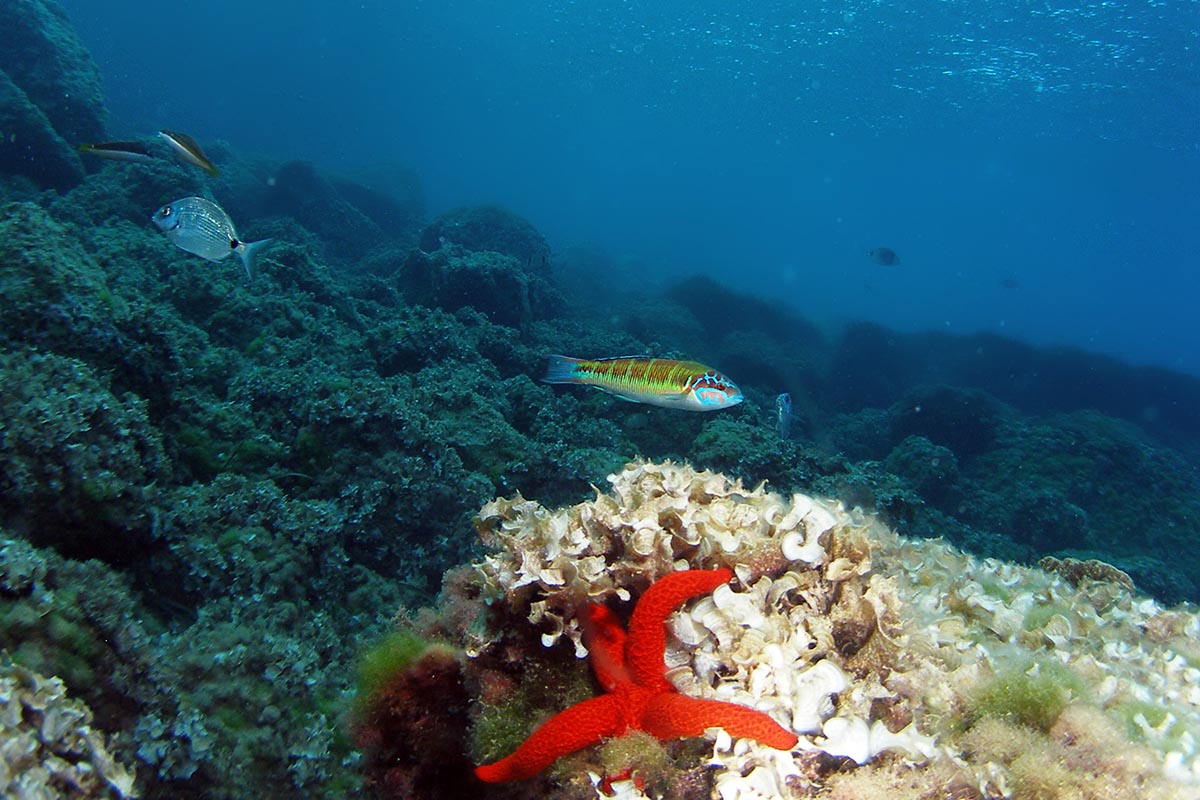
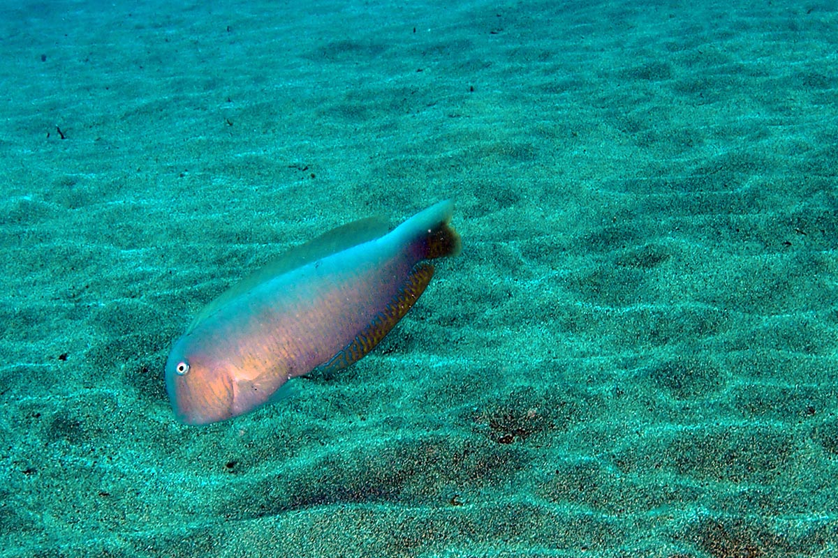
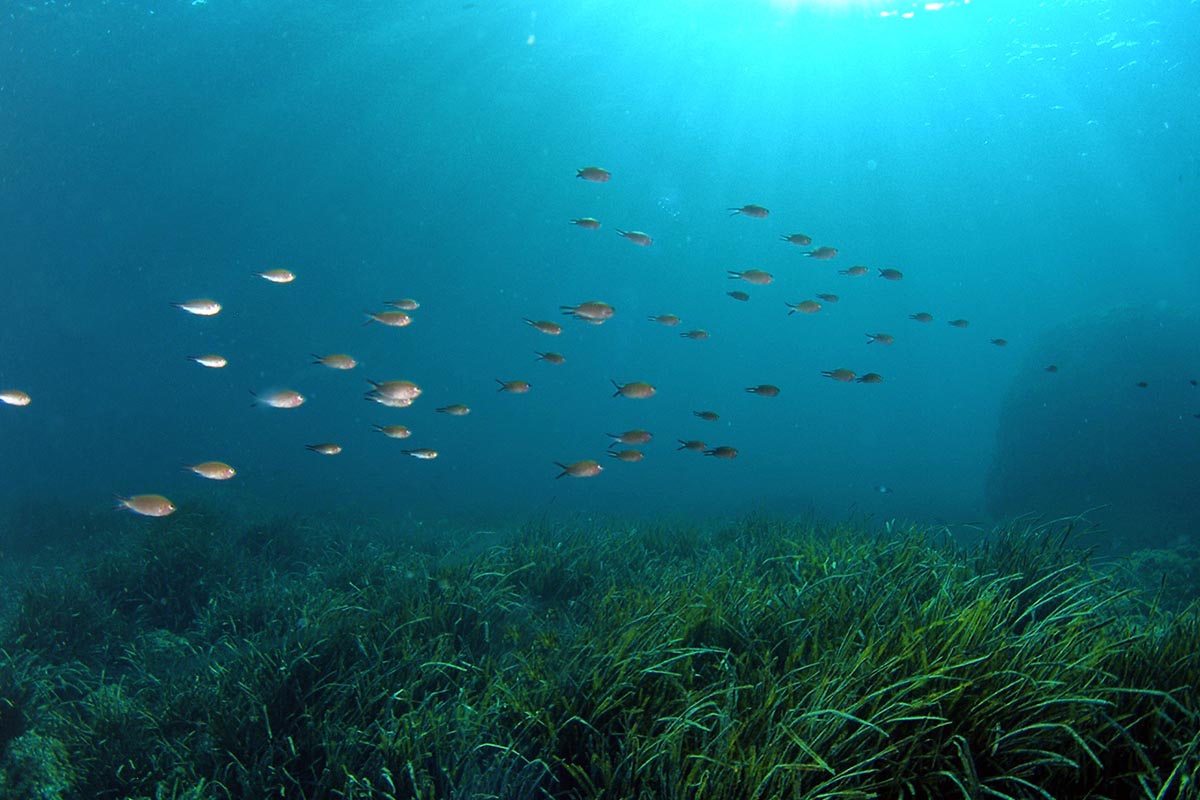
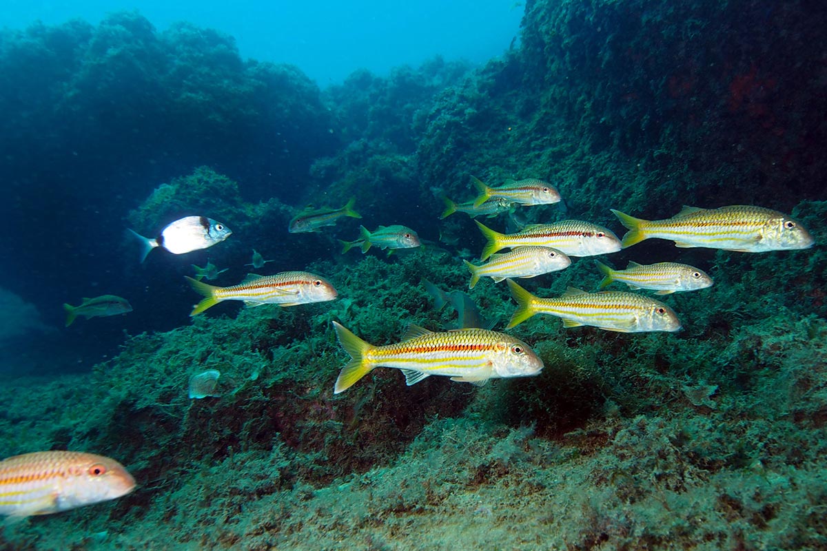
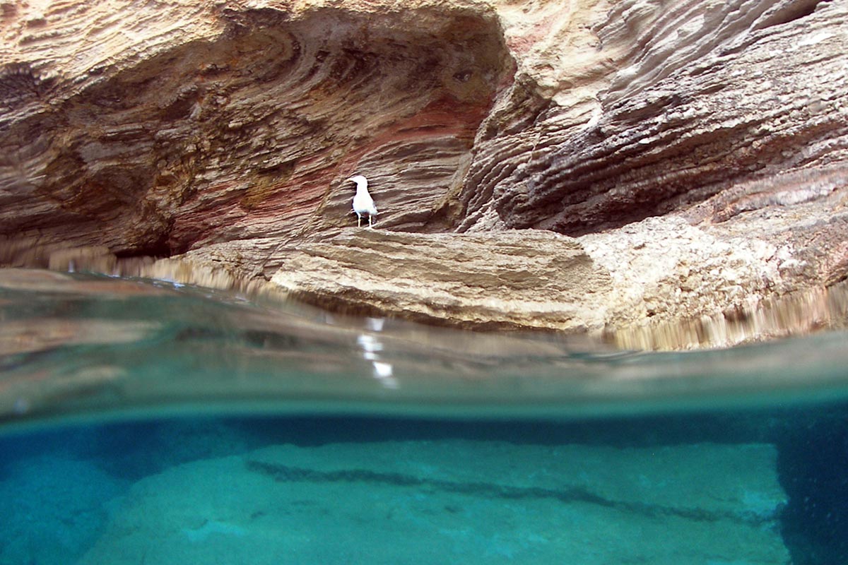
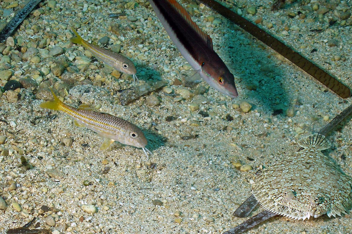
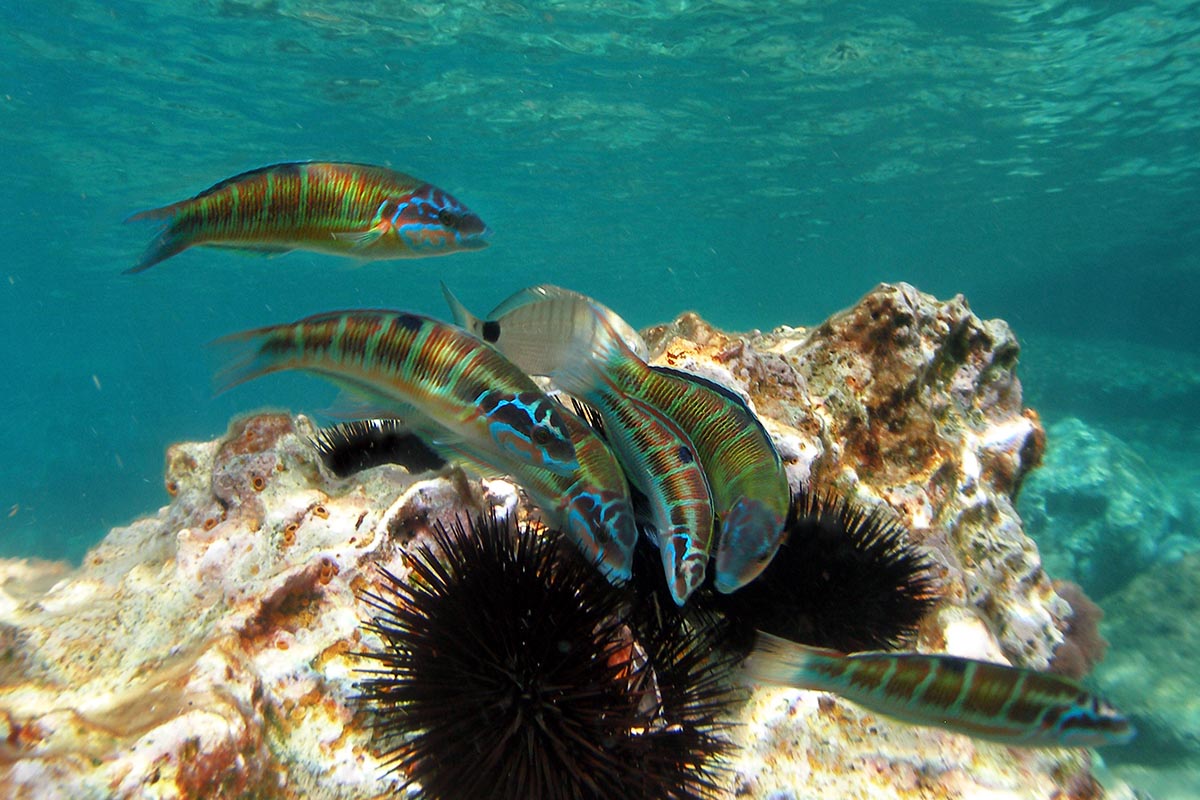
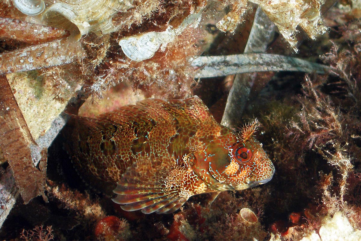
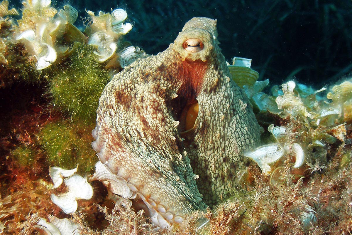
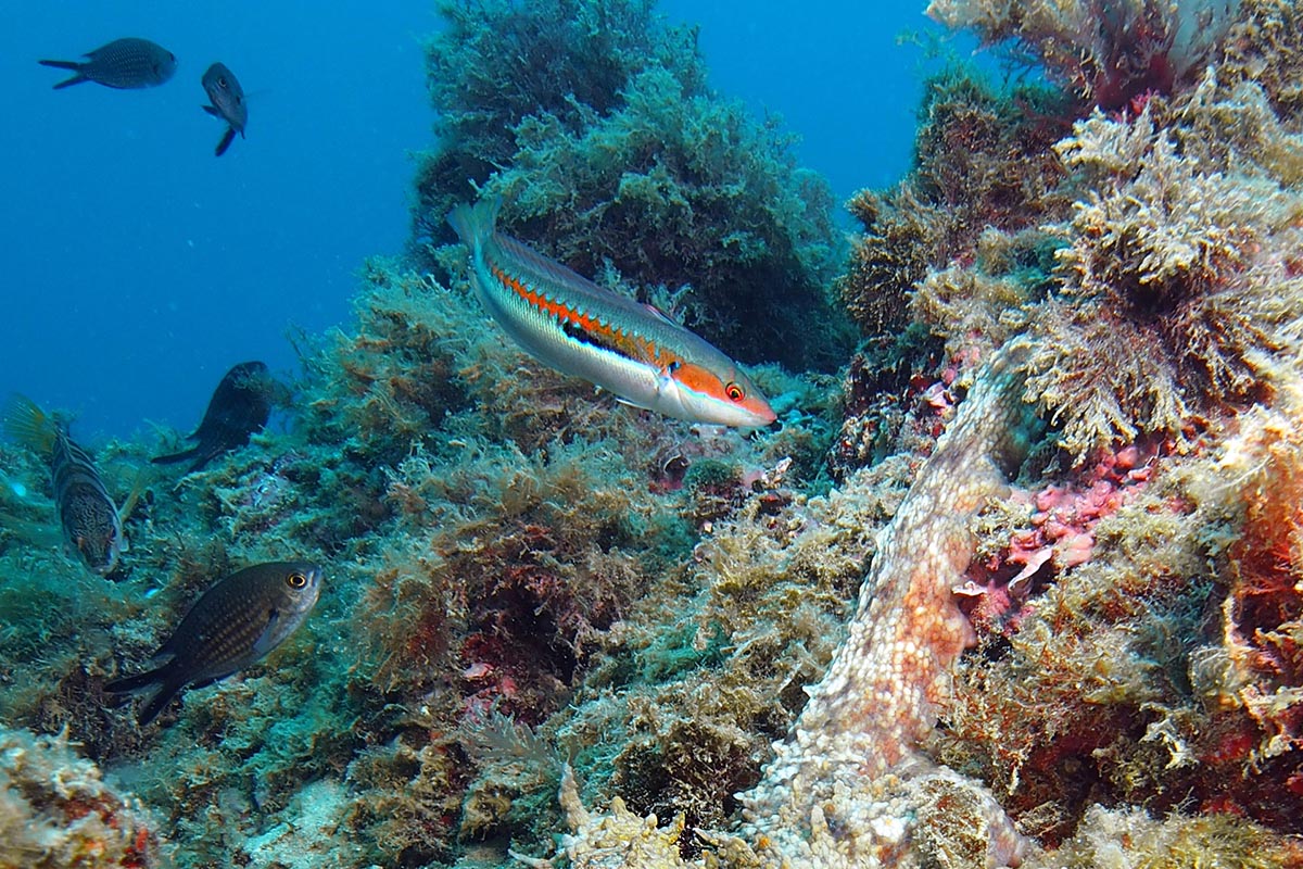
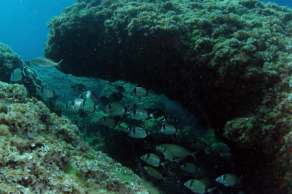
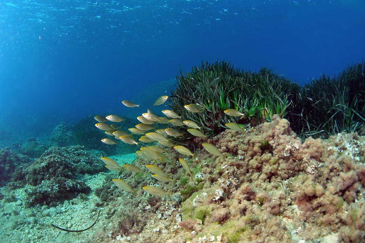
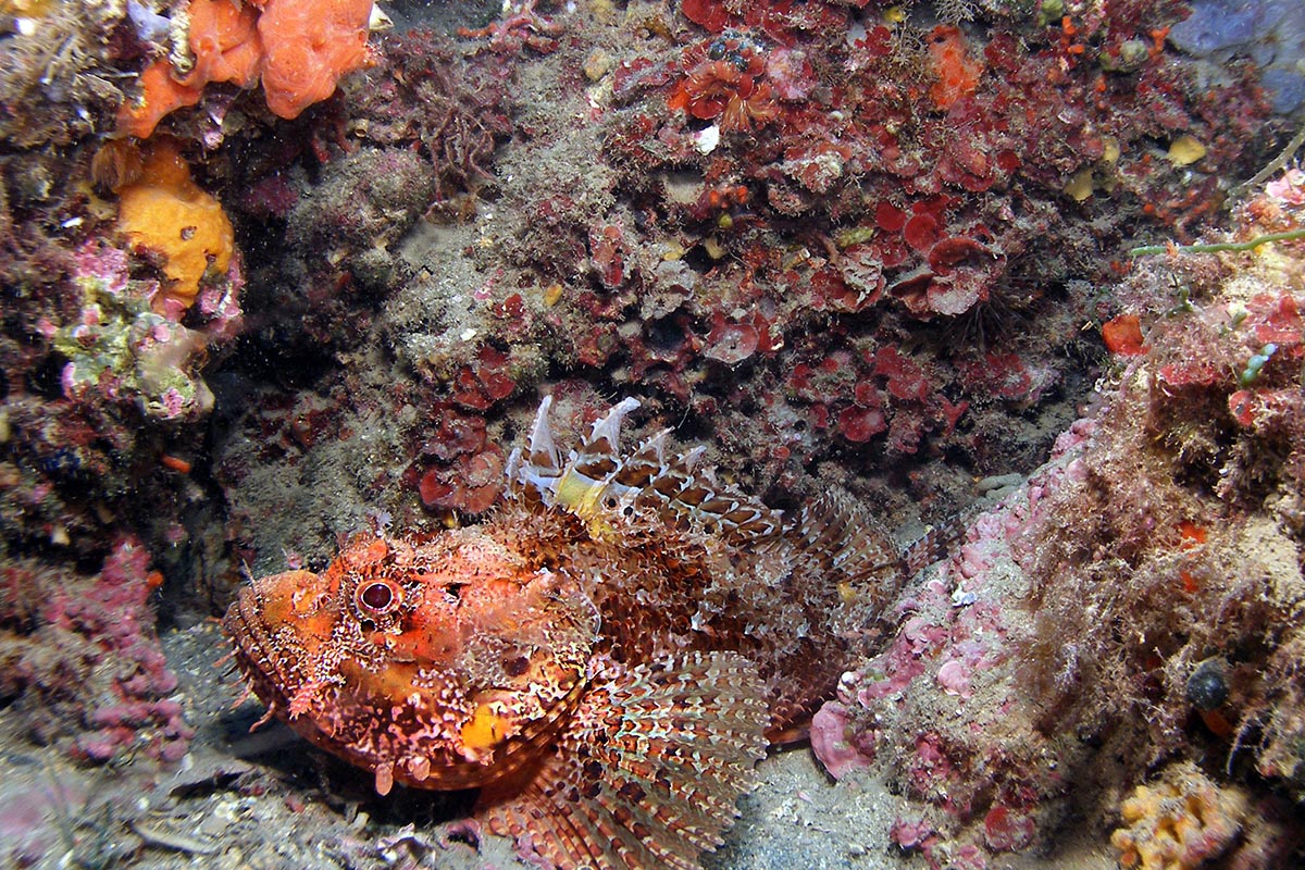
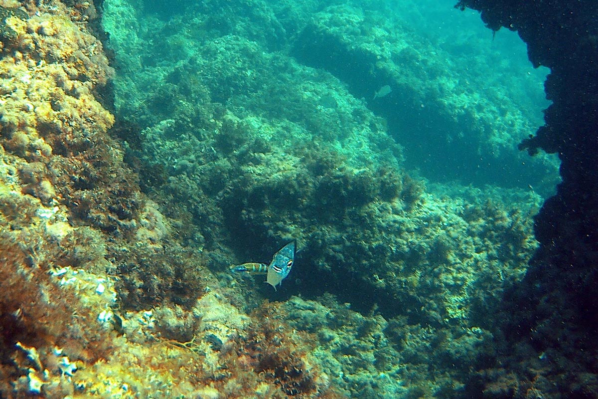
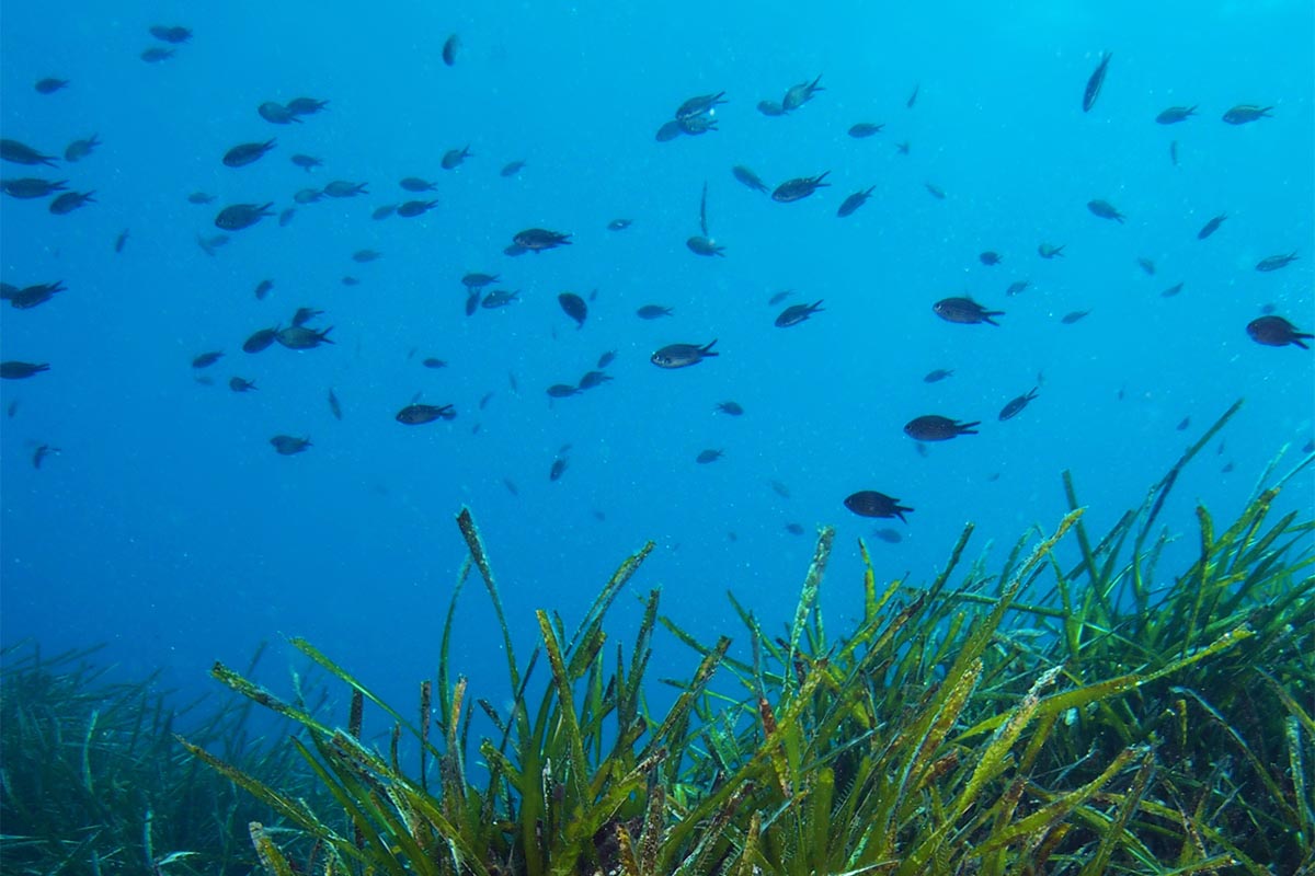
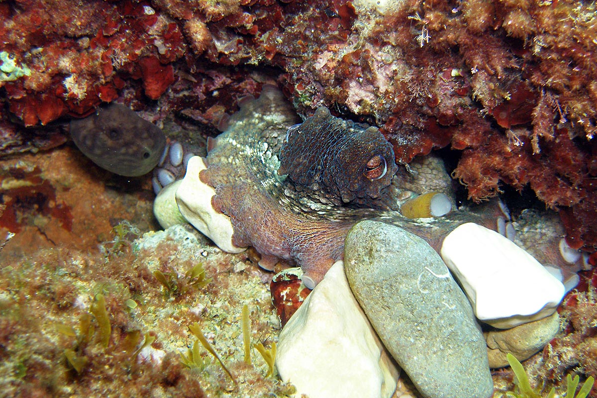
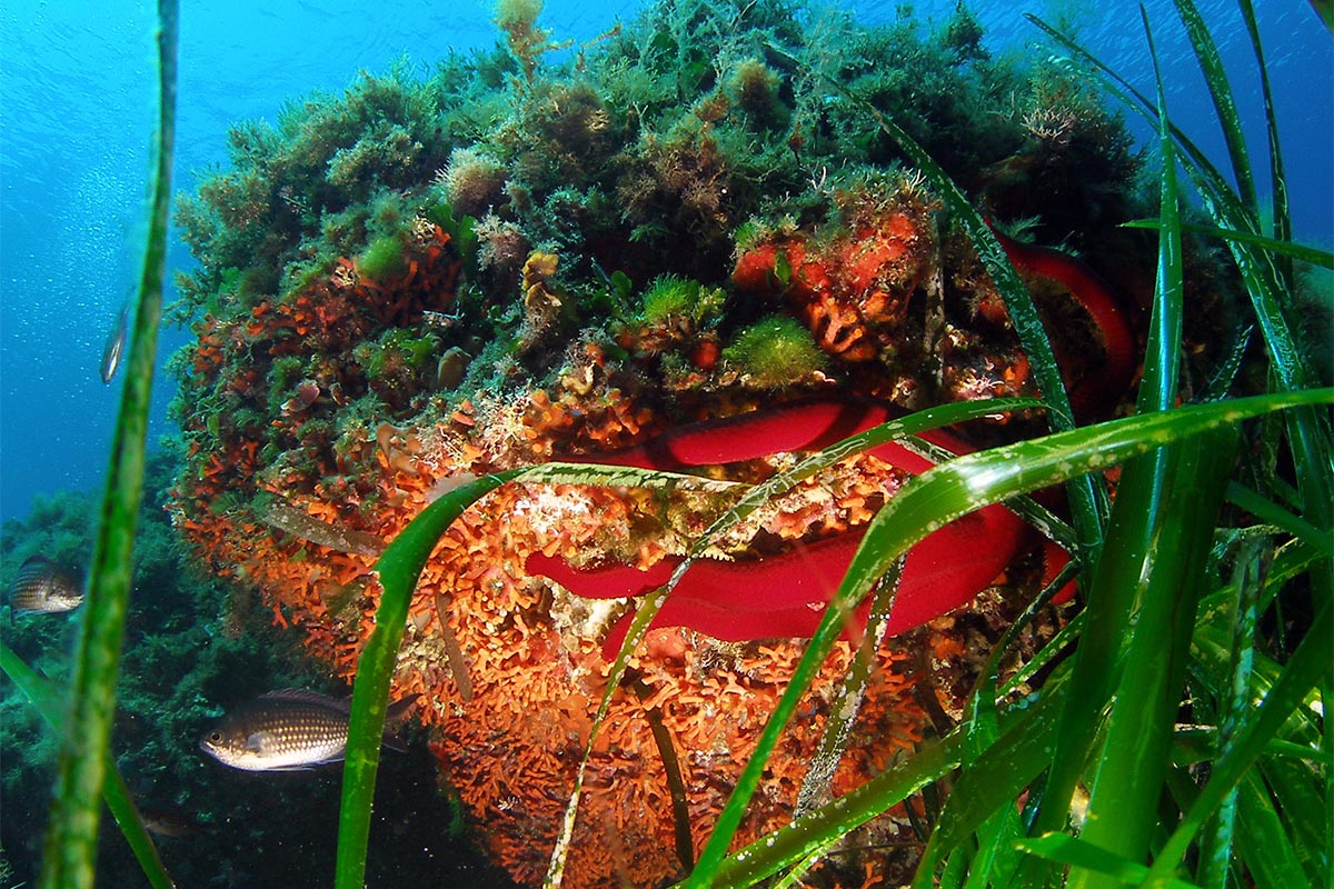
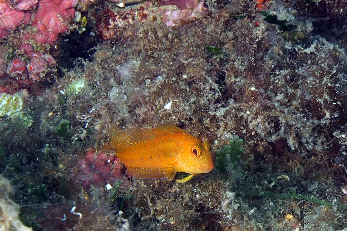
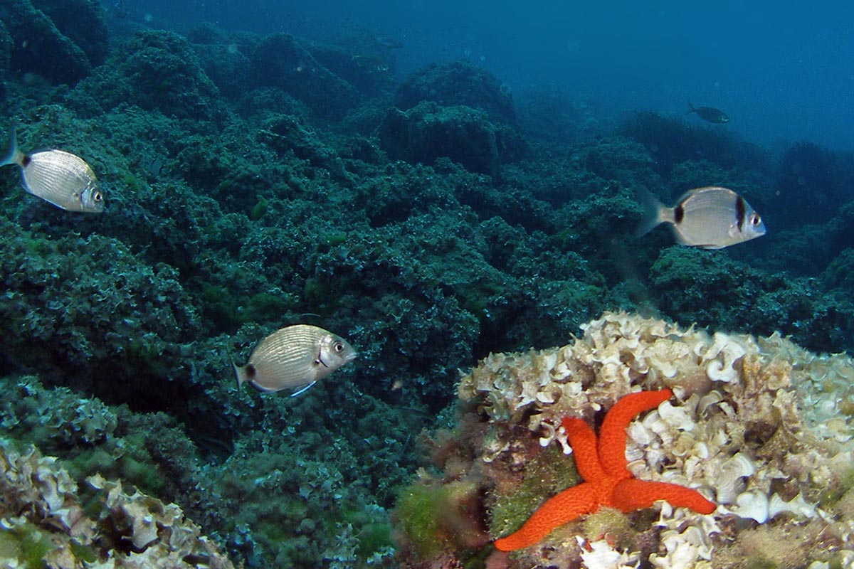
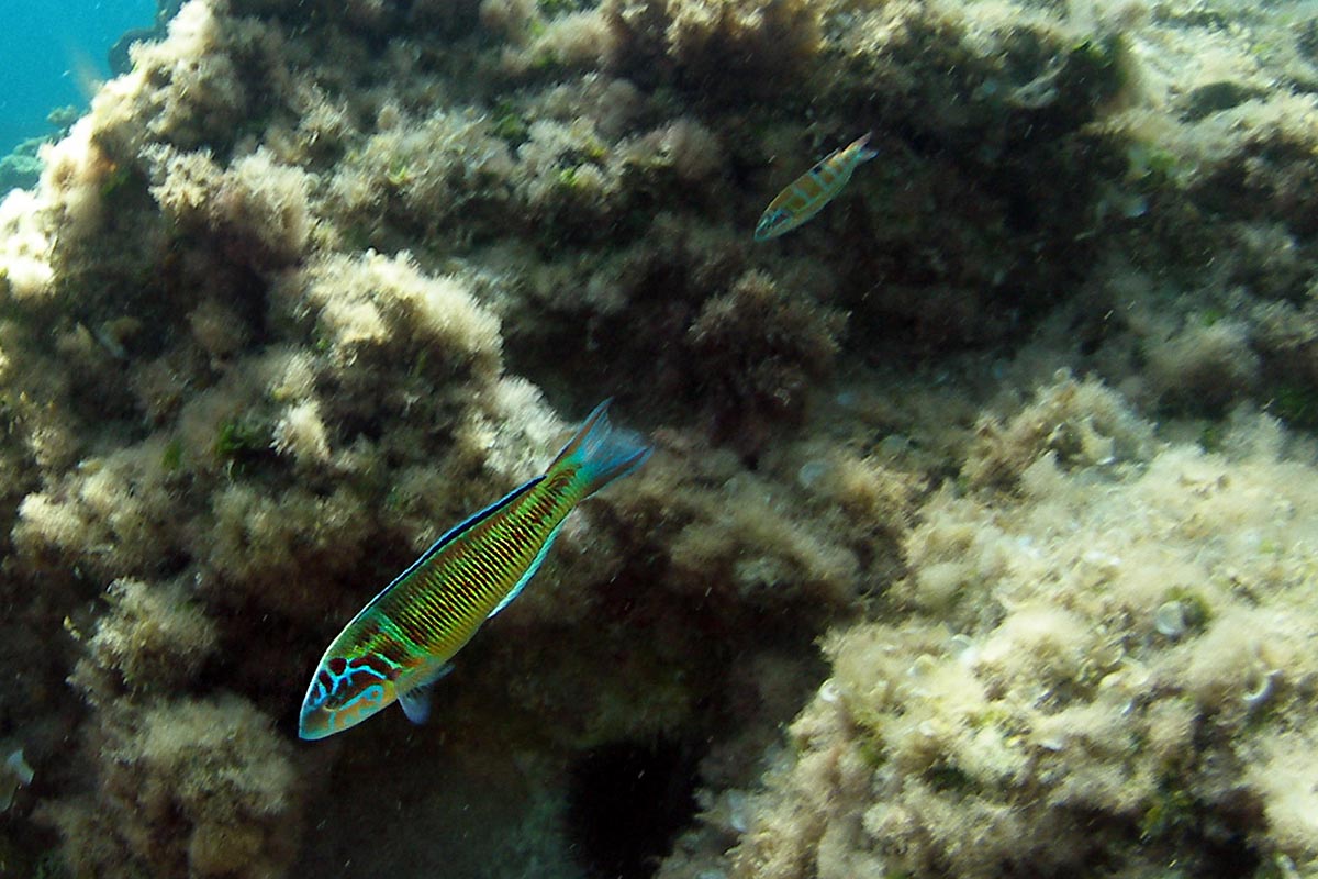
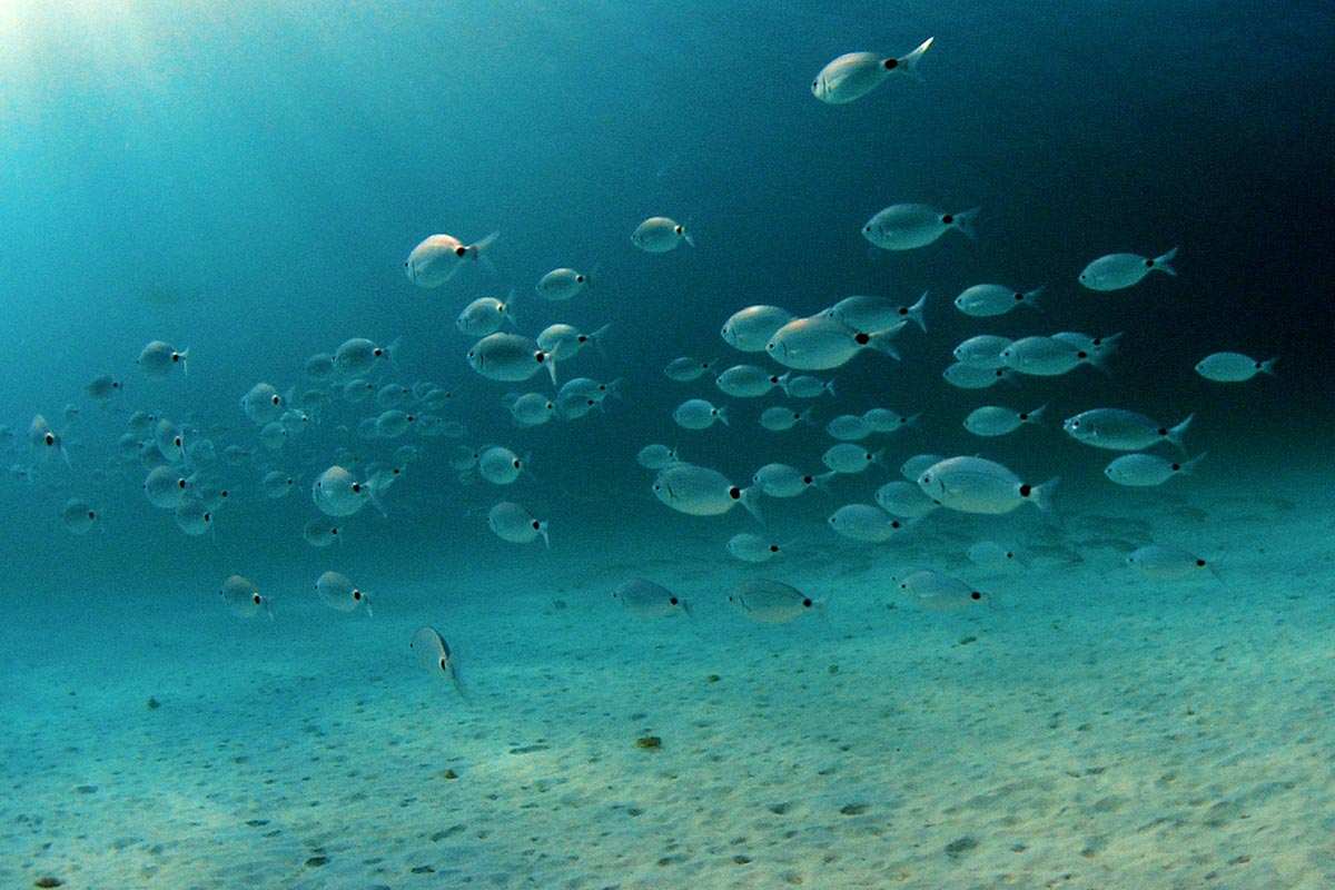
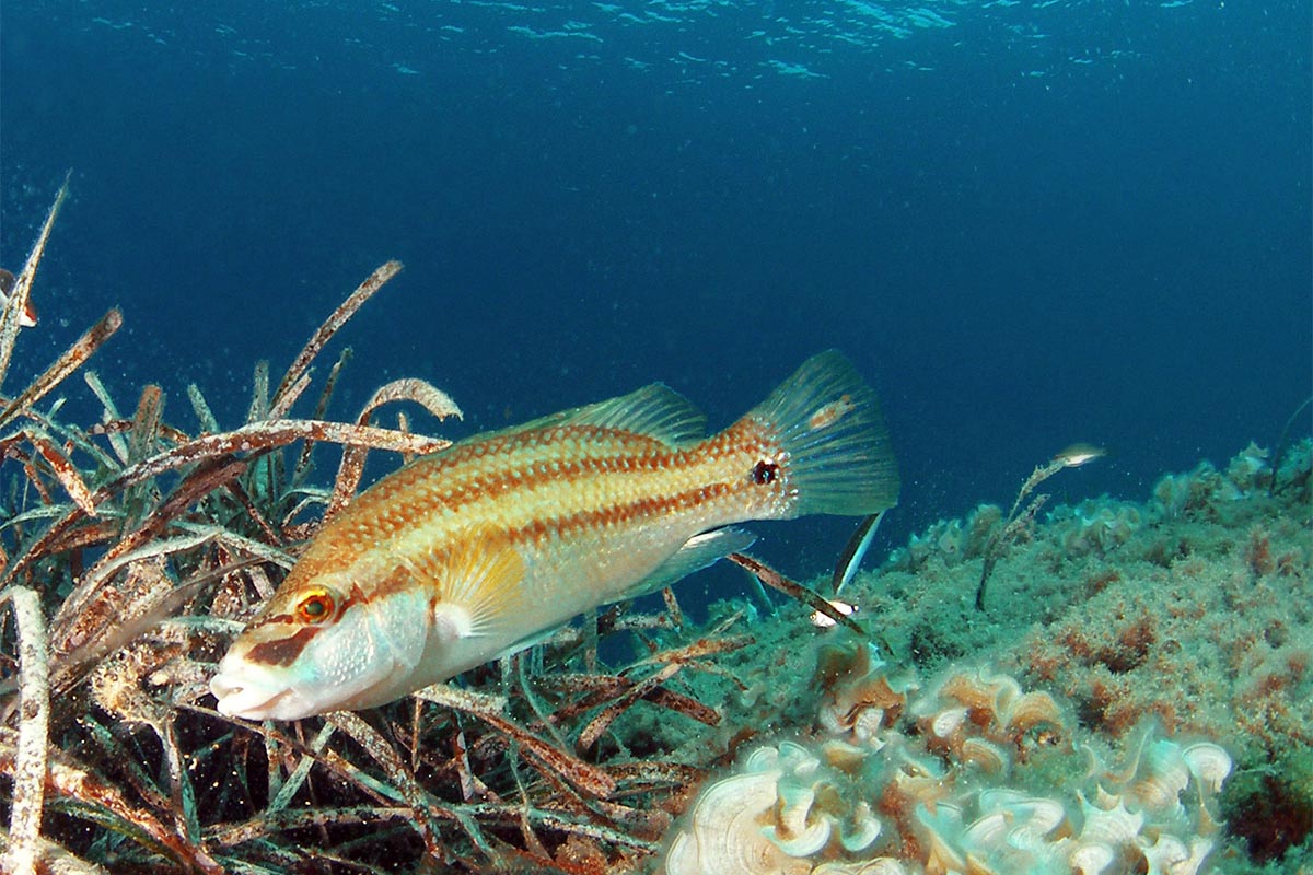
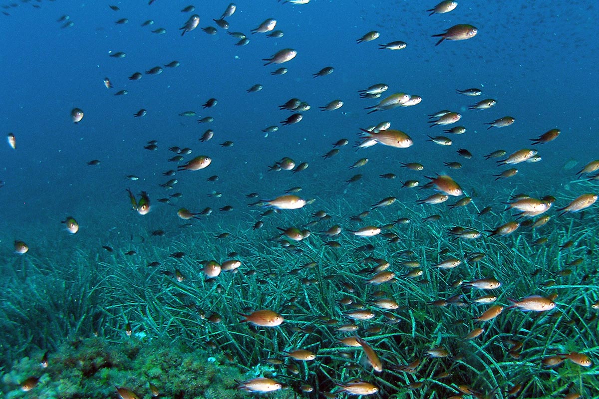
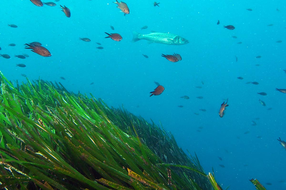
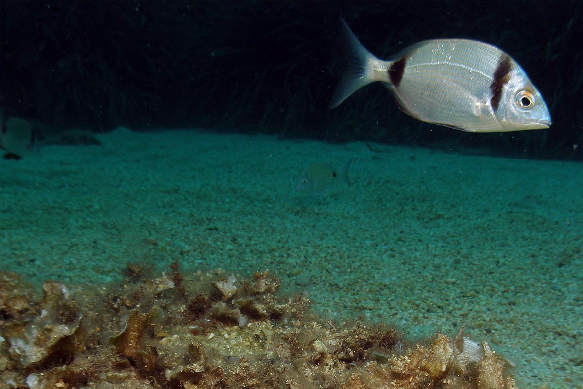
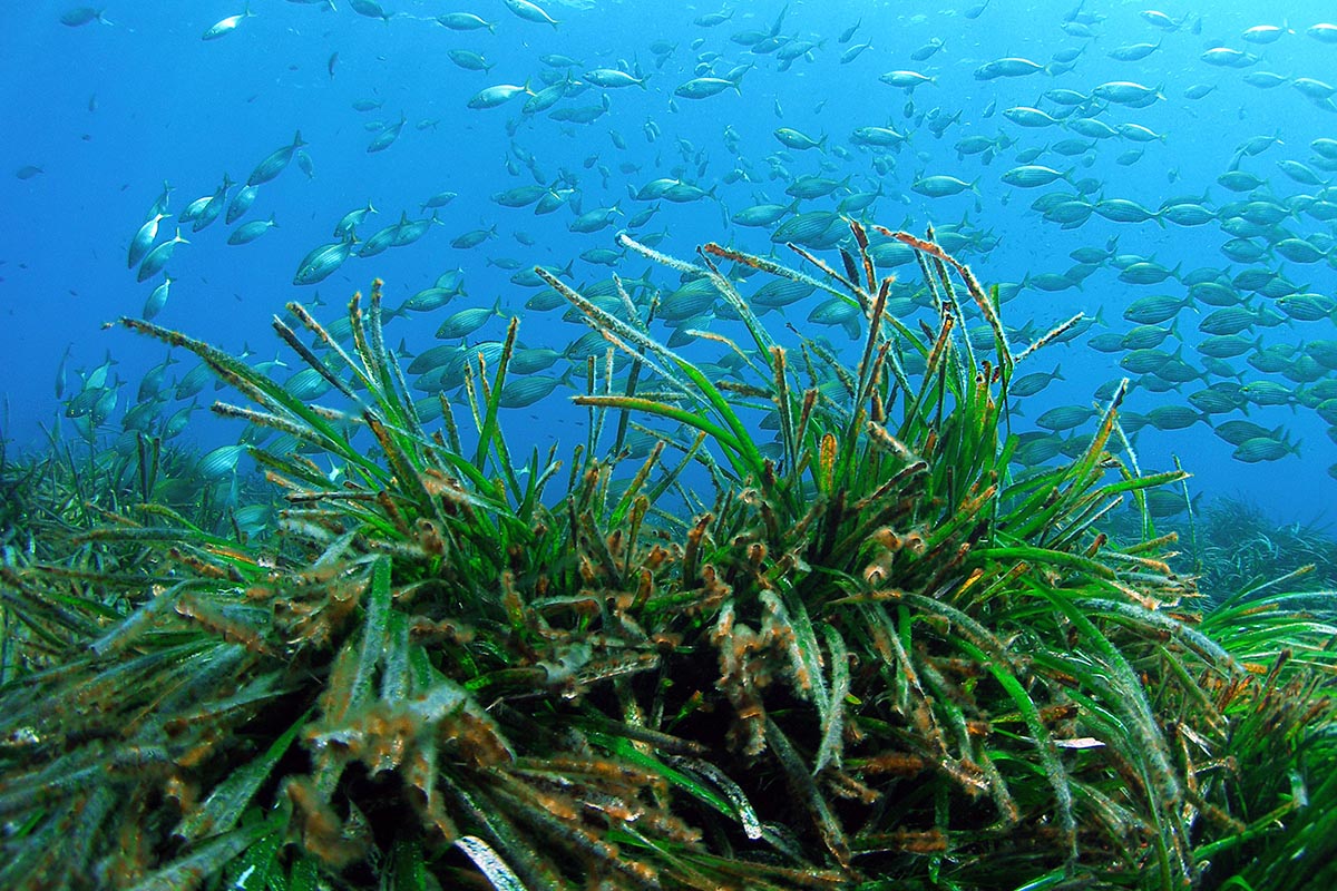
And on the East of the island, normally the most sheltered, the large cli s disappear, and the coast although rocky is again low. Despite the vege- tation being scarce on this island, the fauna has several endemic species and protected birds. After reaching a cove known as Tramontana de s ́Escull, we will come across a large crag called s ́Escull de sa Conillera which we will go round provided the sea is calm and we can cross between it and the coast.
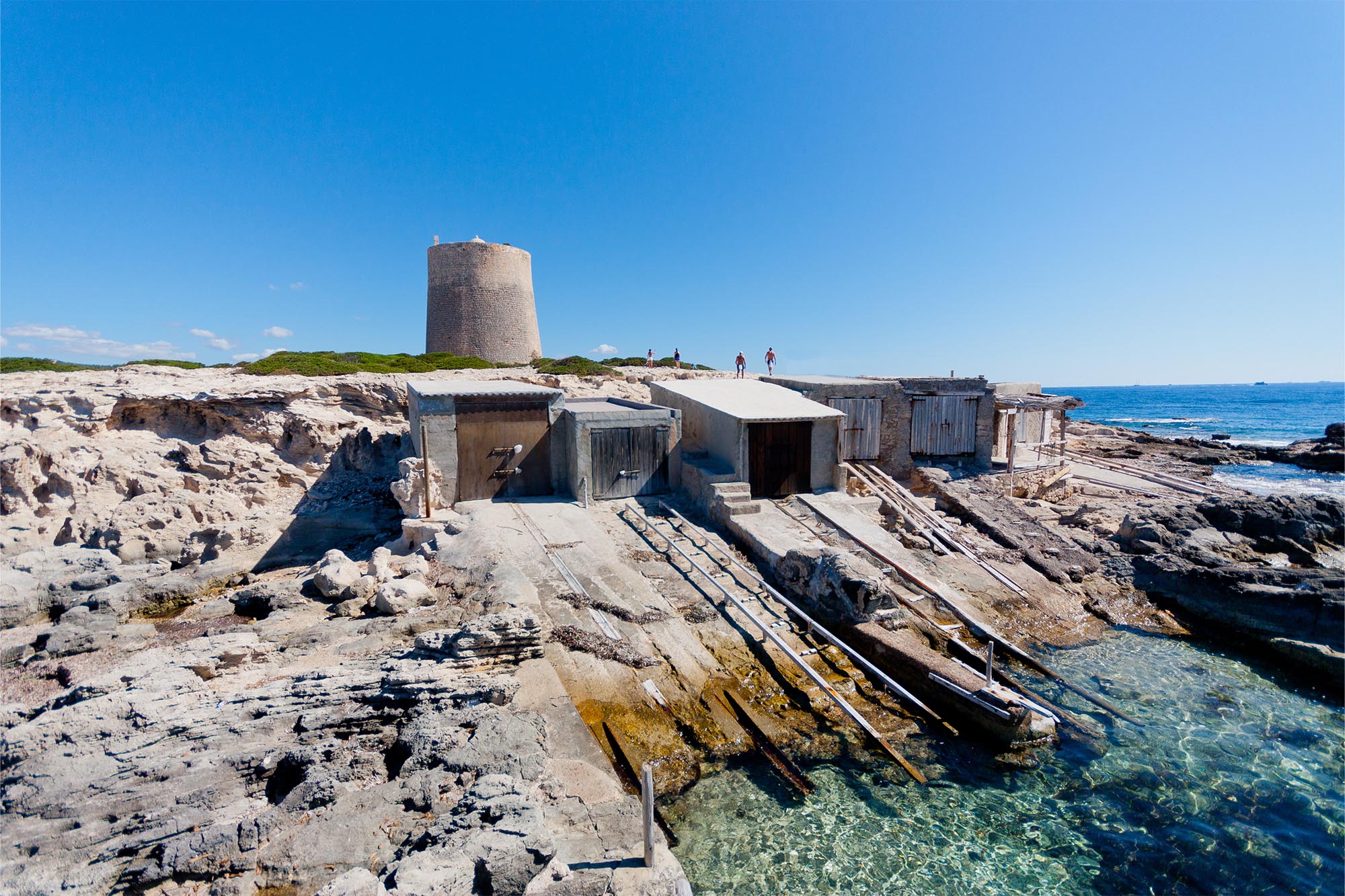
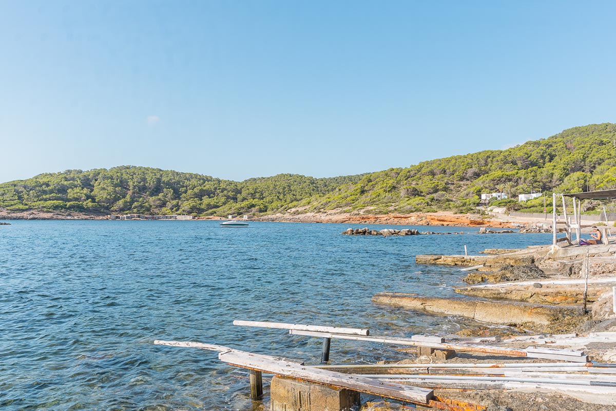
By now we are reaching s ́Estancia de Dins, a large bay where we will nd a jetty that we can only use in the event of an emergency. Once we have travelled close to the bay coast we reach the area of s ́Olleta where we will round the Punta des Grum de Sal keeping close to the coast.
From here on, the coast returns to cli formation with rocks of curious shapes, until we reach Cap Blanc.
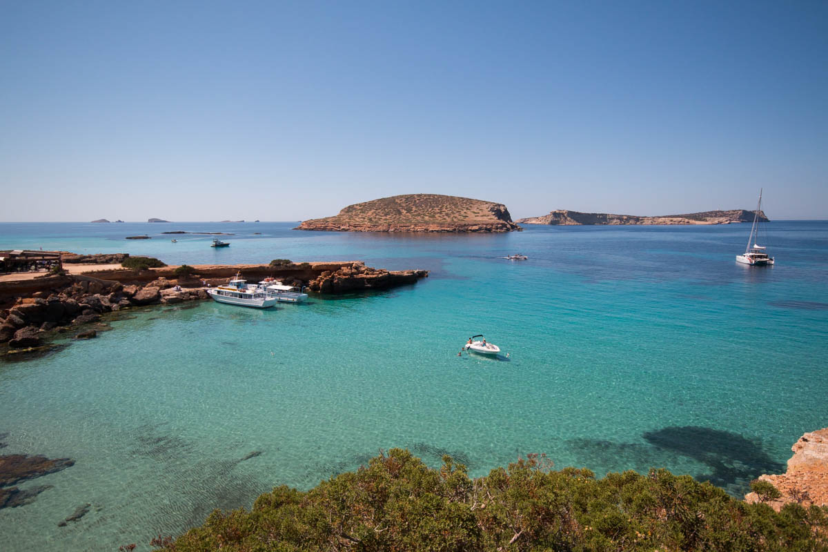
Again we will cross the channel dividing the two islands, but this time s ́Illa des Bosc must be on our port side to round it on the west, then after we have gone past the Punta de na Juliana, we will continue sailing close to the coast leaving Escull Llarg to our starboard side. We will then sail all the way back to Cala Comte.